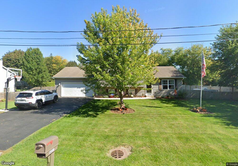
42281 N Fossland Ave Zion, IL 60099
Shore Acres NeighborhoodEstimated Value: $293,000 - $321,000
3
Beds
2
Baths
1,128
Sq Ft
$273/Sq Ft
Est. Value
About This Home
This home is located at 42281 N Fossland Ave, Zion, IL 60099 and is currently estimated at $308,180, approximately $273 per square foot. 42281 N Fossland Ave is a home located in Lake County with nearby schools including Kenneth Murphy School, Beach Park Middle School, and Zion-Benton Township High School.
Ownership History
Date
Name
Owned For
Owner Type
Purchase Details
Closed on
Dec 24, 2002
Sold by
Kanvik Christopher D
Bought by
Swindle Kevin and Swindle Roxanne
Current Estimated Value
Home Financials for this Owner
Home Financials are based on the most recent Mortgage that was taken out on this home.
Original Mortgage
$135,920
Interest Rate
5.76%
Purchase Details
Closed on
Nov 5, 2002
Sold by
Kanvik Theodore E and Kanvik Christopher D
Bought by
Kanvik Christopher D
Home Financials for this Owner
Home Financials are based on the most recent Mortgage that was taken out on this home.
Original Mortgage
$135,920
Interest Rate
5.76%
Purchase Details
Closed on
Jun 18, 2002
Sold by
Matoush William R and Matoush Carol S
Bought by
Kanvik Theodore E and Kanvik Christopher D
Create a Home Valuation Report for This Property
The Home Valuation Report is an in-depth analysis detailing your home's value as well as a comparison with similar homes in the area
Home Values in the Area
Average Home Value in this Area
Purchase History
| Date | Buyer | Sale Price | Title Company |
|---|---|---|---|
| Swindle Kevin | $170,000 | -- | |
| Kanvik Christopher D | -- | -- | |
| Kanvik Theodore E | $25,000 | -- |
Source: Public Records
Mortgage History
| Date | Status | Borrower | Loan Amount |
|---|---|---|---|
| Previous Owner | Swindle Kevin | $135,920 | |
| Closed | Swindle Kevin | $17,980 |
Source: Public Records
Tax History Compared to Growth
Tax History
| Year | Tax Paid | Tax Assessment Tax Assessment Total Assessment is a certain percentage of the fair market value that is determined by local assessors to be the total taxable value of land and additions on the property. | Land | Improvement |
|---|---|---|---|---|
| 2024 | $6,687 | $85,326 | $9,906 | $75,420 |
| 2023 | $6,646 | $76,218 | $9,563 | $66,655 |
| 2022 | $6,646 | $72,725 | $9,360 | $63,365 |
| 2021 | $5,810 | $61,015 | $9,122 | $51,893 |
| 2020 | $5,672 | $58,226 | $8,705 | $49,521 |
| 2019 | $5,657 | $55,243 | $8,259 | $46,984 |
| 2018 | $6,109 | $57,367 | $9,977 | $47,390 |
| 2017 | $6,057 | $53,967 | $9,386 | $44,581 |
| 2016 | $5,887 | $51,378 | $8,936 | $42,442 |
| 2015 | $5,690 | $47,118 | $8,195 | $38,923 |
| 2014 | $5,156 | $45,772 | $6,766 | $39,006 |
| 2012 | $5,213 | $47,565 | $7,031 | $40,534 |
Source: Public Records
Map
Nearby Homes
- 1405 Lewis Ave
- 3616 Creekside Ct
- 1304 Pelican Ct
- 1531 Southport Ct
- 1521 Southport Ct
- 3707 Willow Crest Dr
- 42908 N Lewis Ave
- 3717 Willow Crest Dr
- 3106 13th St
- 0 9th St
- 1703 Hermon Ave
- 43100 N Lewis Ave
- 429 Megan Place
- 4014 Ridge Rd
- 1701 Galilee Ave
- 1417 Westside Trail
- 1817 Joppa Ave
- 1302 Lorelei Dr
- 1807 Horeb Ave
- 1814 Jethro Ave
- 42315 N Fossland Ave
- 42280 Lewis Ave
- 11588 W 11th St
- 42314 N Fossland Ave
- 42339 N Fossland Ave
- 11547 W 11th St
- 42340 N Fossland Ave
- 42313 N Fago Ave
- 42289 Lewis Ave
- 11622 W 11th St
- 42263 Lewis Ave
- 11589 W 11th St
- 42321 Lewis Ave
- 11623 W 11th St
- 42280 N Fago Ave
- 42215 N Fago Ave
- 42314 N Fago Ave
- 11646 W 11th St
- 42177 N Fossland Ave