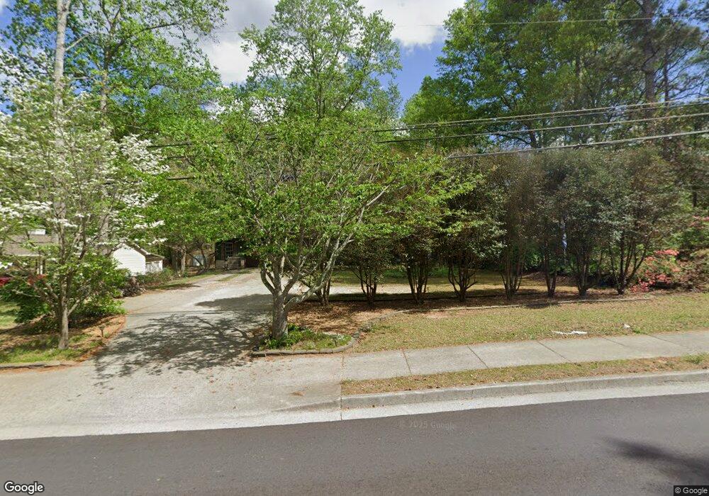
4229 Brownsville Rd Unit 1 Powder Springs, GA 30127
Estimated Value: $301,000 - $320,000
3
Beds
2
Baths
1,482
Sq Ft
$211/Sq Ft
Est. Value
About This Home
This home is located at 4229 Brownsville Rd Unit 1, Powder Springs, GA 30127 and is currently estimated at $312,952, approximately $211 per square foot. 4229 Brownsville Rd Unit 1 is a home located in Cobb County with nearby schools including Powder Springs Elementary School, Cooper Middle School, and McEachern High School.
Ownership History
Date
Name
Owned For
Owner Type
Purchase Details
Closed on
Apr 5, 2002
Sold by
Mcdaris Leona H
Bought by
Collins Anita K
Current Estimated Value
Home Financials for this Owner
Home Financials are based on the most recent Mortgage that was taken out on this home.
Original Mortgage
$109,617
Outstanding Balance
$44,951
Interest Rate
6.8%
Mortgage Type
FHA
Estimated Equity
$268,001
Purchase Details
Closed on
Jul 5, 1995
Sold by
Gmac Mtg
Bought by
Secretary Of Va
Create a Home Valuation Report for This Property
The Home Valuation Report is an in-depth analysis detailing your home's value as well as a comparison with similar homes in the area
Home Values in the Area
Average Home Value in this Area
Purchase History
| Date | Buyer | Sale Price | Title Company |
|---|---|---|---|
| Collins Anita K | $112,000 | -- | |
| Secretary Of Va | -- | -- | |
| Gmac Mtg | $54,200 | -- |
Source: Public Records
Mortgage History
| Date | Status | Borrower | Loan Amount |
|---|---|---|---|
| Open | Collins Anita K | $109,617 |
Source: Public Records
Tax History Compared to Growth
Tax History
| Year | Tax Paid | Tax Assessment Tax Assessment Total Assessment is a certain percentage of the fair market value that is determined by local assessors to be the total taxable value of land and additions on the property. | Land | Improvement |
|---|---|---|---|---|
| 2025 | $3,516 | $116,684 | $24,000 | $92,684 |
| 2024 | $3,518 | $116,684 | $24,000 | $92,684 |
| 2023 | $3,011 | $99,876 | $8,000 | $91,876 |
| 2022 | $2,559 | $84,332 | $8,000 | $76,332 |
| 2021 | $2,031 | $66,908 | $8,000 | $58,908 |
| 2020 | $2,031 | $66,908 | $8,000 | $58,908 |
| 2019 | $1,930 | $63,588 | $8,000 | $55,588 |
| 2018 | $1,626 | $53,572 | $7,920 | $45,652 |
| 2017 | $1,540 | $53,572 | $7,920 | $45,652 |
| 2016 | $1,540 | $53,572 | $7,920 | $45,652 |
| 2015 | $1,040 | $35,288 | $7,920 | $27,368 |
| 2014 | $1,048 | $35,288 | $0 | $0 |
Source: Public Records
Map
Nearby Homes
- 4740 Spring Gate Dr
- 5076 Furlong Way
- 3909 Brianna Dr
- 4721 Hill Rd
- 4607 Underwood Walk
- 4469 Caleb Crossing Unit 13
- 4492 Long St
- 4970 Creekside Ln
- Kaufman Plan at Wildwood Place
- Brooks Plan at Wildwood Place
- Bryson Plan at Wildwood Place
- Bolton Plan at Wildwood Place
- 4517 Twinberry Dr
- 4525 Twinberry Dr
- 4651 Larkfield Way
- 4586 Meadows Rd
- 4659 Larkfield Way
- 4683 Sweetwater Ave
- 4667 Larkfield Way
- 4570 Meadows Rd
- 4223 Brownsville Rd
- 4770 Spring Gate Dr
- 4780 Spring Gate Dr
- 4760 Spring Gate Dr
- 4221 Brownsville Rd
- 4217 Brownsville Rd
- 4750 Spring Gate Dr
- 7120 Woodcrest Ln
- 0 Spring Gate Dr Unit 7475557
- 0 Spring Gate Dr Unit 7136630
- 0 Spring Gate Dr Unit 8826776
- 0 Spring Gate Dr Unit 8288979
- 0 Spring Gate Dr Unit 8028352
- 0 Spring Gate Dr Unit 8627076
- 0 Spring Gate Dr Unit 8678372
- 0 Spring Gate Dr Unit 7091716
- 0 Spring Gate Dr
- 4211 Brownsville Rd
- 4775 Spring Gate Dr
- 4765 Spring Gate Dr