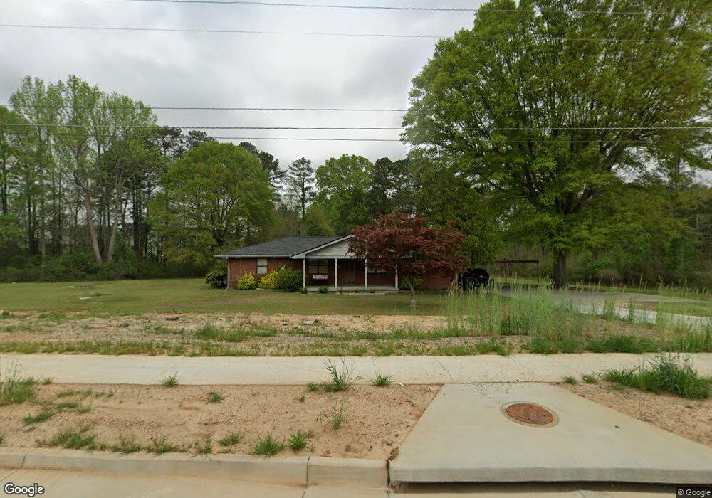
4229 MacLand Rd Hiram, GA 30141
East Paulding County NeighborhoodEstimated Value: $252,000 - $410,000
3
Beds
2
Baths
2,124
Sq Ft
$162/Sq Ft
Est. Value
About This Home
This home is located at 4229 MacLand Rd, Hiram, GA 30141 and is currently estimated at $344,498, approximately $162 per square foot. 4229 MacLand Rd is a home located in Paulding County with nearby schools including Mcgarity Elementary School, P. B. Ritch Middle School, and East Paulding High School.
Ownership History
Date
Name
Owned For
Owner Type
Purchase Details
Closed on
Nov 20, 2018
Sold by
Martin Richard E
Bought by
Ferguson Lissa D
Current Estimated Value
Create a Home Valuation Report for This Property
The Home Valuation Report is an in-depth analysis detailing your home's value as well as a comparison with similar homes in the area
Home Values in the Area
Average Home Value in this Area
Purchase History
| Date | Buyer | Sale Price | Title Company |
|---|---|---|---|
| Ferguson Lissa D | -- | -- |
Source: Public Records
Tax History Compared to Growth
Tax History
| Year | Tax Paid | Tax Assessment Tax Assessment Total Assessment is a certain percentage of the fair market value that is determined by local assessors to be the total taxable value of land and additions on the property. | Land | Improvement |
|---|---|---|---|---|
| 2024 | $2,974 | $122,796 | $16,120 | $106,676 |
| 2023 | $2,872 | $112,692 | $15,320 | $97,372 |
| 2022 | $2,479 | $96,960 | $12,840 | $84,120 |
| 2021 | $2,068 | $73,036 | $10,840 | $62,196 |
| 2020 | $1,828 | $63,388 | $10,320 | $53,068 |
| 2019 | $1,668 | $57,200 | $9,280 | $47,920 |
| 2018 | $543 | $52,300 | $10,080 | $42,220 |
| 2017 | $497 | $46,548 | $9,640 | $36,908 |
| 2016 | $403 | $39,504 | $9,640 | $29,864 |
| 2015 | $385 | $36,464 | $9,480 | $26,984 |
| 2014 | $355 | $32,224 | $8,680 | $23,544 |
| 2013 | -- | $27,920 | $9,600 | $18,320 |
Source: Public Records
Map
Nearby Homes
- 119 English Barn Way
- 45 Waterloo Ct
- 4622 MacLand Rd
- 4624 MacLand Rd
- 334 Covington Dr
- 132 English Barn Way
- 142 English Barn Way
- 152 English Barn Way
- 162 English Barn Way
- 20 Weathervane Way
- 0 MacLand Rd Unit 10558702
- 225 Harvest Trail
- 34 English Barn Way
- 290 Harvest Trail
- 44 English Barn Way
- 56 English Barn Way
- 66 English Barn Way
- 7 Hickory Branch
- 76 English Barn Way
- 184 Darbys Crossing Ct