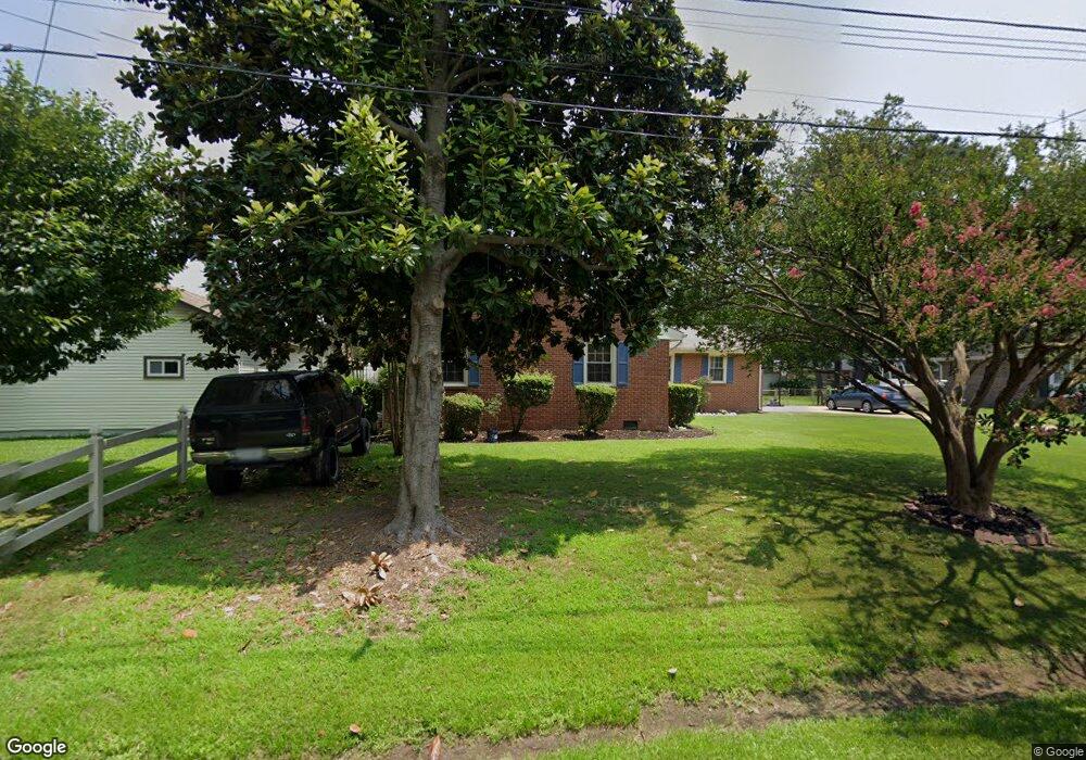
4229 Quince Rd Portsmouth, VA 23703
Churchland NeighborhoodEstimated Value: $339,148 - $350,000
3
Beds
3
Baths
1,600
Sq Ft
$215/Sq Ft
Est. Value
About This Home
This home is located at 4229 Quince Rd, Portsmouth, VA 23703 and is currently estimated at $344,537, approximately $215 per square foot. 4229 Quince Rd is a home located in Portsmouth City with nearby schools including Churchland Primary/Intermediate School, Churchland Middle School, and Churchland High School.
Ownership History
Date
Name
Owned For
Owner Type
Purchase Details
Closed on
Aug 20, 2019
Sold by
Slivinski Luke M
Bought by
Mikulskis Drake R and Mikulskis Brittany C
Current Estimated Value
Home Financials for this Owner
Home Financials are based on the most recent Mortgage that was taken out on this home.
Original Mortgage
$227,283
Outstanding Balance
$198,626
Interest Rate
3.7%
Mortgage Type
VA
Estimated Equity
$145,911
Purchase Details
Closed on
Feb 11, 2005
Sold by
Watkins R Beverly
Bought by
Watkins Thomas
Home Financials for this Owner
Home Financials are based on the most recent Mortgage that was taken out on this home.
Original Mortgage
$144,000
Interest Rate
5.83%
Mortgage Type
New Conventional
Create a Home Valuation Report for This Property
The Home Valuation Report is an in-depth analysis detailing your home's value as well as a comparison with similar homes in the area
Home Values in the Area
Average Home Value in this Area
Purchase History
| Date | Buyer | Sale Price | Title Company |
|---|---|---|---|
| Mikulskis Drake R | $222,500 | Attorney | |
| Watkins Thomas | $180,000 | -- |
Source: Public Records
Mortgage History
| Date | Status | Borrower | Loan Amount |
|---|---|---|---|
| Open | Mikulskis Drake R | $227,283 | |
| Previous Owner | Watkins Thomas | $144,000 |
Source: Public Records
Tax History Compared to Growth
Tax History
| Year | Tax Paid | Tax Assessment Tax Assessment Total Assessment is a certain percentage of the fair market value that is determined by local assessors to be the total taxable value of land and additions on the property. | Land | Improvement |
|---|---|---|---|---|
| 2025 | $3,591 | $283,600 | $96,000 | $187,600 |
| 2024 | $3,591 | $278,040 | $96,000 | $182,040 |
| 2023 | $3,267 | $261,340 | $96,000 | $165,340 |
| 2022 | $3,135 | $241,170 | $80,000 | $161,170 |
| 2021 | $2,681 | $206,200 | $64,510 | $141,690 |
| 2020 | $2,641 | $203,130 | $61,440 | $141,690 |
| 2019 | $2,585 | $198,880 | $61,440 | $137,440 |
| 2018 | $2,585 | $198,880 | $61,440 | $137,440 |
| 2017 | $2,585 | $198,880 | $61,440 | $137,440 |
| 2016 | $2,585 | $198,880 | $61,440 | $137,440 |
| 2015 | $2,585 | $198,880 | $61,440 | $137,440 |
| 2014 | $2,526 | $198,880 | $61,440 | $137,440 |
Source: Public Records
Map
Nearby Homes
- 4224 Burnham Dr
- 4200 Quince Rd
- 4232 Summerset Dr
- 5833 Hawthorne Ln
- 5728 Hawthorne Ln
- 4028 Swannanoa Dr
- 21 Windy Pines Crescent
- 4444 Southampton Arch
- 5807 Dunkin St
- 4100 Mayfair Way
- 5606 Gregory Ct
- 8 Compass Ct
- 5693 Rivermill Cir
- 3433 Willow Breeze Dr
- 17 Shoal Ct
- 4619 River Shore Rd
- 4008 Oakhurst Rd
- 4071 Long Point Blvd
- 3866 Augustine Cir
- 3860 Sugar Creek Cir
- 4225 Quince Rd
- 5821 Brookmere Ln
- 5817 Brookmere Ln
- 4228 Burnham Dr
- 4228 Quince Rd
- 4221 Quince Rd
- 4224 Quince Rd
- 5813 Brookmere Ln
- 4232 Quince Rd
- 4220 Burnham Dr
- 5820 Brookmere Ln
- 4220 Quince Rd
- 4236 Quince Rd
- 4217 Quince Rd
- 5816 Brookmere Ln
- 4305 Twin Pines Rd
- 4301 Twin Pines Rd
- 4229 Burnham Dr
- 5809 Brookmere Ln
- 4225 Burnham Dr