Estimated Value: $474,000 - $509,000
5
Beds
3
Baths
1,444
Sq Ft
$337/Sq Ft
Est. Value
About This Home
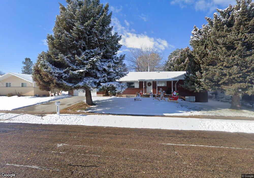
This home is located at 4229 S 2275 W, Roy, UT 84067 and is currently estimated at $486,147, approximately $336 per square foot. 4229 S 2275 W is a home located in Weber County with nearby schools including North Park School, Sand Ridge Junior High School, and Roy High School.
Ownership History
Date
Name
Owned For
Owner Type
Purchase Details
Closed on
Aug 3, 2020
Sold by
Hoover Sandra S and Hoover Jennifer Ruth
Bought by
Hoover Sandra S and Sandra S Hoover Revocable Living Trust
Current Estimated Value
Home Financials for this Owner
Home Financials are based on the most recent Mortgage that was taken out on this home.
Original Mortgage
$240,000
Interest Rate
3.1%
Mortgage Type
New Conventional
Purchase Details
Closed on
Apr 12, 2017
Sold by
Hoover Sandra
Bought by
Hoover Sandra S and The Sandra S Hoover Revocable
Create a Home Valuation Report for This Property
The Home Valuation Report is an in-depth analysis detailing your home's value as well as a comparison with similar homes in the area
Home Values in the Area
Average Home Value in this Area
Purchase History
| Date | Buyer | Sale Price | Title Company |
|---|---|---|---|
| Hoover Sandra S | -- | Us Title Insurance Agency | |
| Hoover Sandra S | -- | Us Title Insurance Agency | |
| Hoover Sandra S | -- | Accommodation |
Source: Public Records
Mortgage History
| Date | Status | Borrower | Loan Amount |
|---|---|---|---|
| Closed | Hoover Sandra S | $240,000 |
Source: Public Records
Tax History Compared to Growth
Tax History
| Year | Tax Paid | Tax Assessment Tax Assessment Total Assessment is a certain percentage of the fair market value that is determined by local assessors to be the total taxable value of land and additions on the property. | Land | Improvement |
|---|---|---|---|---|
| 2025 | $2,978 | $476,229 | $138,157 | $338,072 |
| 2024 | $2,906 | $257,399 | $75,995 | $181,404 |
| 2023 | $2,735 | $242,000 | $68,343 | $173,657 |
| 2022 | $2,753 | $250,250 | $58,451 | $191,799 |
| 2021 | $2,289 | $342,000 | $75,529 | $266,471 |
| 2020 | $2,026 | $276,000 | $75,529 | $200,471 |
| 2019 | $1,943 | $249,000 | $45,196 | $203,804 |
| 2018 | $1,827 | $220,000 | $42,127 | $177,873 |
| 2017 | $1,815 | $206,000 | $42,127 | $163,873 |
| 2016 | $1,627 | $98,371 | $19,143 | $79,228 |
| 2015 | $1,444 | $88,669 | $19,143 | $69,526 |
| 2014 | $1,363 | $82,189 | $19,143 | $63,046 |
Source: Public Records
Map
Nearby Homes
- 4164 S 2400 W
- 4110 S 2275 W
- 4328 S 2175 W
- 4073 S 2175 W
- 2263 W 4400 S
- 4205 S 2075 W
- 4220 S 2075 W
- 2015 W 4225 S
- 3965 S 2225 W
- 2082 W 4450 S
- 2070 W 4000 S
- 2096 W 3950 S
- 2050 W 4000 S
- 4118 Westlake Dr
- 2259 W 4525 S
- 4475 S 1975 W
- 1959 3985 St S Unit 2
- 2642 W 4400 S
- 3923 S 1975 W Unit 15
- 3860 Midland Dr Unit C10