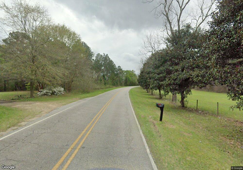
423 Attapulgus Whigham Rd Whigham, GA 39897
Estimated Value: $215,000 - $303,000
3
Beds
2
Baths
2,624
Sq Ft
$104/Sq Ft
Est. Value
About This Home
This home is located at 423 Attapulgus Whigham Rd, Whigham, GA 39897 and is currently estimated at $273,348, approximately $104 per square foot. 423 Attapulgus Whigham Rd is a home.
Ownership History
Date
Name
Owned For
Owner Type
Purchase Details
Closed on
Jul 23, 2021
Sold by
French George Robert
Bought by
French Seth Robert and Powe Karla F
Current Estimated Value
Purchase Details
Closed on
Apr 28, 1995
Bought by
Jones Michael F
Purchase Details
Closed on
Jun 26, 1990
Bought by
So Ga Real Estate
Create a Home Valuation Report for This Property
The Home Valuation Report is an in-depth analysis detailing your home's value as well as a comparison with similar homes in the area
Home Values in the Area
Average Home Value in this Area
Purchase History
| Date | Buyer | Sale Price | Title Company |
|---|---|---|---|
| French Seth Robert | -- | -- | |
| Jones Michael F | $93,000 | -- | |
| So Ga Real Estate | $15,000 | -- |
Source: Public Records
Tax History Compared to Growth
Tax History
| Year | Tax Paid | Tax Assessment Tax Assessment Total Assessment is a certain percentage of the fair market value that is determined by local assessors to be the total taxable value of land and additions on the property. | Land | Improvement |
|---|---|---|---|---|
| 2024 | $2,697 | $89,660 | $15,380 | $74,280 |
| 2023 | $1,086 | $37,277 | $12,986 | $24,291 |
| 2022 | $1,086 | $37,277 | $12,986 | $24,291 |
| 2021 | $1,089 | $37,277 | $12,986 | $24,291 |
| 2020 | $1,093 | $37,277 | $12,986 | $24,291 |
| 2019 | $1,093 | $37,277 | $12,986 | $24,291 |
| 2018 | $1,026 | $37,277 | $12,986 | $24,291 |
| 2017 | $977 | $37,277 | $12,986 | $24,291 |
| 2016 | $897 | $34,205 | $12,986 | $21,219 |
| 2015 | $886 | $34,205 | $12,986 | $21,219 |
| 2014 | $848 | $32,795 | $12,986 | $19,809 |
| 2013 | -- | $36,825 | $18,036 | $18,789 |
Source: Public Records
Map
Nearby Homes
- 165 Larkin St
- 206 Lodge Ln
- 267 Providence Rd
- 1718 Old 179 S
- 723 Providence Rd
- 3695 Tired Creek Rd
- 0 Earl Hester Rd
- 00 Tired Creek Rd
- 292 Sykes Mill Rd
- 2033 Old 179 N
- 231 Mcintyre Ln
- Harrell Mill Rd
- 316 Faircloth Rd
- 421 Antioch Church Rd
- 0 Upper Hawthorne Trail
- 1137 Summerfield
- 1520 Upper Hawthorne Trail
- 1389 Lake Front Dr
- 171 Council Ln
- 490 13th St SW
- 406 Attapulgus Whigham Rd
- 540 Attapulgus Whigham Rd
- 356 Attapulgus Whigham Rd
- 182 Cleon Waldrop Rd
- 195 Cleon Waldrop Rd
- 520 Attapulgus Whigham Rd
- 137 Cleon Waldrop Rd
- 162 Cleon Waldrop Rd
- 189 Cleon Waldrop Rd
- 238 Bunn Ln
- 321 Waldrop Ave SW
- 266 Attapulgus Whigham Rd
- 384 Cleon Waldrop Rd
- 584 Whigham Attapulgus Rd
- 584 Attapulgus Whigham Rd
- 234 Bunn Ln
- 567 Attapulgus Whigham Rd
- 585 Attapulgus Whigham Rd
- 266 Hudson St
- 00000 (67 Acres) Attapulgus Whigham Rd
