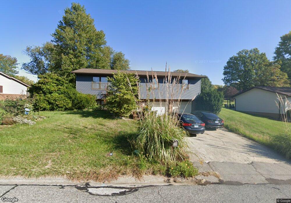
423 Bunker Hill Dr Collinsville, IL 62234
Estimated Value: $225,517 - $233,000
3
Beds
2
Baths
1,222
Sq Ft
$188/Sq Ft
Est. Value
About This Home
This home is located at 423 Bunker Hill Dr, Collinsville, IL 62234 and is currently estimated at $229,879, approximately $188 per square foot. 423 Bunker Hill Dr is a home located in Madison County with nearby schools including John A Renfro Elementary School, Dorris Intermediate School, and Collinsville Middle School.
Ownership History
Date
Name
Owned For
Owner Type
Purchase Details
Closed on
Dec 6, 2007
Sold by
Schwartz Anthony D and Schwartz Bonnie J
Bought by
Fabry Jama
Current Estimated Value
Home Financials for this Owner
Home Financials are based on the most recent Mortgage that was taken out on this home.
Original Mortgage
$139,900
Outstanding Balance
$88,597
Interest Rate
6.31%
Mortgage Type
Purchase Money Mortgage
Estimated Equity
$141,282
Create a Home Valuation Report for This Property
The Home Valuation Report is an in-depth analysis detailing your home's value as well as a comparison with similar homes in the area
Home Values in the Area
Average Home Value in this Area
Purchase History
| Date | Buyer | Sale Price | Title Company |
|---|---|---|---|
| Fabry Jama | $140,000 | Metro East Title Corporation |
Source: Public Records
Mortgage History
| Date | Status | Borrower | Loan Amount |
|---|---|---|---|
| Open | Fabry Jama | $139,900 |
Source: Public Records
Tax History Compared to Growth
Tax History
| Year | Tax Paid | Tax Assessment Tax Assessment Total Assessment is a certain percentage of the fair market value that is determined by local assessors to be the total taxable value of land and additions on the property. | Land | Improvement |
|---|---|---|---|---|
| 2024 | $3,677 | $63,520 | $14,650 | $48,870 |
| 2023 | $3,677 | $58,060 | $13,330 | $44,730 |
| 2022 | $3,426 | $53,690 | $12,330 | $41,360 |
| 2021 | $3,070 | $50,440 | $11,580 | $38,860 |
| 2020 | $2,941 | $48,130 | $11,050 | $37,080 |
| 2019 | $2,844 | $46,420 | $10,310 | $36,110 |
| 2018 | $2,767 | $43,970 | $9,770 | $34,200 |
| 2017 | $2,762 | $43,100 | $9,580 | $33,520 |
| 2016 | $2,899 | $43,100 | $9,580 | $33,520 |
| 2015 | $2,762 | $41,980 | $9,330 | $32,650 |
| 2014 | $2,762 | $41,980 | $9,330 | $32,650 |
| 2013 | $2,762 | $41,980 | $9,330 | $32,650 |
Source: Public Records
Map
Nearby Homes
- 414 Bunker Hill Dr
- 22 Brookwood Dr
- 5 Brookwood Dr
- 1224 Cedar Ridge Ct
- 10 White Lily Dr
- 0 N Keebler Ave
- 2007 Belt Line Rd
- 1121 Carraway Ct
- 203 Greenfield Dr
- 123 Elliot St
- 1059 Lafayette Ct Unit A
- 1035 Lafayette Ct Unit B
- 1051 Lafayette Ct Unit A
- 308 Brown Ave
- 1120 Williams St
- 0 Strong Ave
- 617 N Morrison Ave
- 123 W Wickliffe Ave
- 1210 Constance St
- 580 N Guernsey St
- 425 Bunker Hill Dr
- 432 Bunker Hill Dr
- 434 Bunker Hill Dr
- 419 Bunker Hill Dr
- 430 Bunker Hill Dr
- 436 Bunker Hill Dr
- 427 Bunker Hill Dr
- 308 Monticello Dr
- 438 Bunker Hill Dr
- 420 Chapel Dr
- 310 Monticello Dr
- 417 Bunker Hill Dr
- 428 Bunker Hill Dr
- 418 Chapel Dr
- 416 Chapel Dr
- 422 Chapel Dr
- 426 Bunker Hill Dr
- 415 Bunker Hill Dr
- 440 Bunker Hill Dr
- 414 Chapel Dr