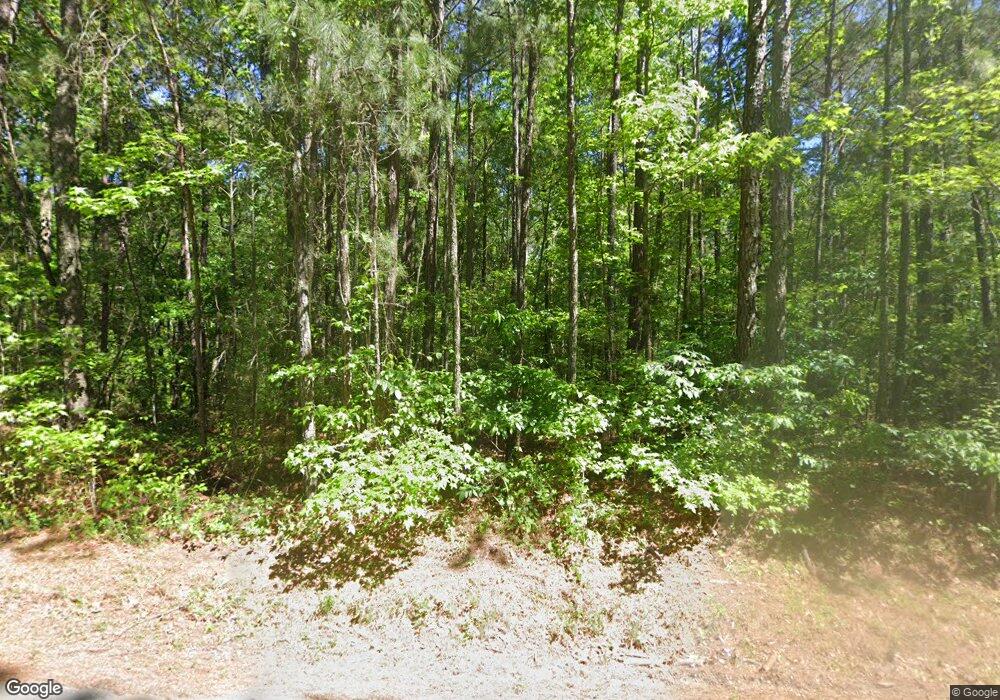
423 Byrom Rd Senoia, GA 30276
Estimated Value: $538,000 - $798,211
3
Beds
3
Baths
3,448
Sq Ft
$205/Sq Ft
Est. Value
About This Home
This home is located at 423 Byrom Rd, Senoia, GA 30276 and is currently estimated at $708,070, approximately $205 per square foot. 423 Byrom Rd is a home with nearby schools including Willis Road Elementary School, Lee Middle School, and East Coweta High School.
Ownership History
Date
Name
Owned For
Owner Type
Purchase Details
Closed on
Apr 16, 2003
Sold by
Barnett Gerald W
Bought by
Barnett Gerald W and Barnett Robin H
Current Estimated Value
Home Financials for this Owner
Home Financials are based on the most recent Mortgage that was taken out on this home.
Original Mortgage
$155,000
Outstanding Balance
$66,196
Interest Rate
5.79%
Mortgage Type
New Conventional
Estimated Equity
$641,874
Purchase Details
Closed on
Nov 30, 1986
Bought by
Barnett Gerald W
Create a Home Valuation Report for This Property
The Home Valuation Report is an in-depth analysis detailing your home's value as well as a comparison with similar homes in the area
Home Values in the Area
Average Home Value in this Area
Purchase History
| Date | Buyer | Sale Price | Title Company |
|---|---|---|---|
| Barnett Gerald W | -- | -- | |
| Barnett Gerald W | -- | -- |
Source: Public Records
Mortgage History
| Date | Status | Borrower | Loan Amount |
|---|---|---|---|
| Open | Barnett Gerald W | $155,000 |
Source: Public Records
Tax History Compared to Growth
Tax History
| Year | Tax Paid | Tax Assessment Tax Assessment Total Assessment is a certain percentage of the fair market value that is determined by local assessors to be the total taxable value of land and additions on the property. | Land | Improvement |
|---|---|---|---|---|
| 2025 | $6,843 | $300,762 | $118,186 | $182,576 |
| 2024 | $5,584 | $245,154 | $74,124 | $171,030 |
| 2023 | $5,584 | $242,432 | $81,536 | $160,896 |
| 2022 | $4,775 | $198,546 | $72,054 | $126,492 |
| 2021 | $4,787 | $186,523 | $68,623 | $117,900 |
| 2020 | $4,818 | $186,523 | $68,623 | $117,900 |
| 2019 | $5,541 | $194,105 | $86,946 | $107,159 |
| 2018 | $5,551 | $194,105 | $86,946 | $107,159 |
| 2017 | $5,549 | $194,105 | $86,946 | $107,159 |
| 2016 | $5,485 | $194,105 | $86,946 | $107,159 |
| 2015 | $5,395 | $194,105 | $86,946 | $107,159 |
| 2014 | $5,354 | $194,105 | $86,946 | $107,159 |
Source: Public Records
Map
Nearby Homes
- 310 Savannah Dr
- 155 Filson Dr
- 330 Renwick Dr
- Hampshire Plan at Heritage Pointe
- 285 Staffin Dr
- Edison Plan at Heritage Pointe
- 270 Staffin Dr
- Jean Lee Plan at Heritage Pointe
- 300 Staffin Dr
- 305 Staffin Dr
- Marlene Plan at Heritage Pointe
- SAVANNAH Plan at Heritage Pointe
- 200 Darien Dr
- 753 Gary Summers Rd
- 220 Calebee Ave
- 170 Savannah Dr
- 345 Darien Dr
- 400 Mulberry Dr
- 185 Renwick Dr
- 290 Calebee Ave
- 434 Byrom Rd
- 1808 Stallings Rd
- 358 Byrom Rd
- 305 Byrom Rd Unit 2
- 460 Byrom Rd
- 1774 Stallings Rd
- 402 Byrom Rd
- 298 Byrom Rd
- 1936 Stallings Rd
- 1806 Stallings Rd
- 472 Byrom Rd Unit lot 7
- 472 Byrom Rd
- 1904 Stallings Rd
- 5+/- ACRES Byrom Rd
- 2483 Mcintosh Trail
- 1714 Stallings Rd
- 1776 Stallings Rd
- 1746 Stallings Rd
- 1804 Stallings Rd Unit 1
- 1804 Stallings Rd
