423 Dedham St Unit D Newton Center, MA 02459
Newton Highlands NeighborhoodEstimated Value: $1,924,267 - $2,258,000
3
Beds
3
Baths
3,095
Sq Ft
$671/Sq Ft
Est. Value
About This Home
This home is located at 423 Dedham St Unit D, Newton Center, MA 02459 and is currently estimated at $2,077,756, approximately $671 per square foot. 423 Dedham St Unit D is a home located in Middlesex County with nearby schools including Countryside Elementary School, Charles E Brown Middle School, and Newton South High School.
Ownership History
Date
Name
Owned For
Owner Type
Purchase Details
Closed on
Aug 7, 2024
Sold by
Susan S Jacobs Ret and Jacobs
Bought by
Norman I Jacobs Ret and Jacobs
Current Estimated Value
Purchase Details
Closed on
Mar 1, 2012
Sold by
Gerstenblatt Arlene
Bought by
Susan S Jacobs 2007 Re
Purchase Details
Closed on
Jun 27, 2002
Sold by
Lane Janice R
Bought by
Gerstenblatt Arlene
Create a Home Valuation Report for This Property
The Home Valuation Report is an in-depth analysis detailing your home's value as well as a comparison with similar homes in the area
Home Values in the Area
Average Home Value in this Area
Purchase History
| Date | Buyer | Sale Price | Title Company |
|---|---|---|---|
| Norman I Jacobs Ret | -- | None Available | |
| Norman I Jacobs Ret | -- | None Available | |
| Susan S Jacobs 2007 Re | $1,090,000 | -- | |
| Gerstenblatt Arlene | $890,000 | -- | |
| Gerstenblatt Arlene | $890,000 | -- |
Source: Public Records
Tax History Compared to Growth
Tax History
| Year | Tax Paid | Tax Assessment Tax Assessment Total Assessment is a certain percentage of the fair market value that is determined by local assessors to be the total taxable value of land and additions on the property. | Land | Improvement |
|---|---|---|---|---|
| 2025 | $17,216 | $1,756,700 | $0 | $1,756,700 |
| 2024 | $16,646 | $1,705,500 | $0 | $1,705,500 |
| 2023 | $16,278 | $1,599,000 | $0 | $1,599,000 |
| 2022 | $16,021 | $1,522,900 | $0 | $1,522,900 |
| 2021 | $15,459 | $1,436,700 | $0 | $1,436,700 |
| 2020 | $14,999 | $1,436,700 | $0 | $1,436,700 |
| 2019 | $14,577 | $1,394,900 | $0 | $1,394,900 |
| 2018 | $14,555 | $1,345,200 | $0 | $1,345,200 |
| 2017 | $14,959 | $1,345,200 | $0 | $1,345,200 |
| 2016 | $14,307 | $1,257,200 | $0 | $1,257,200 |
| 2015 | $13,901 | $1,197,300 | $0 | $1,197,300 |
Source: Public Records
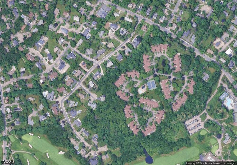
Map
Nearby Homes
- 15 Buff Cir
- 396 Dedham St
- 36 Cannon St
- 58 Country Club Rd
- 51 Carl St
- 207 Nahanton St Unit 207
- 250 Woodcliff Rd
- 36 Roland St
- 128 Charlemont St
- 65 Levbert Rd
- 210 Nahanton St Unit 404
- 19 Selwyn Rd
- 135 Hartman Rd
- 41 Juniper Ln
- 35 Haynes Rd
- 36 Ober Rd
- 1292 Walnut St
- 183 Oak St Unit 307
- 183 Oak St Unit 404
- 183 Oak St Unit 205
- 423 Dedham St Unit C
- 423 Dedham St Unit B
- 423 Dedham St Unit A
- 423 Dedham St Unit C3
- 423 Dedham St Unit 423C
- 423 Dedham St Unit 423B
- 425 Dedham St Unit D
- 425 Dedham St Unit C
- 425 Dedham St Unit B
- 425 Dedham St Unit A
- 425 Dedham St Unit D4
- 425A Dedham St
- 50 Countryside Rd
- 44 Countryside Rd
- 70 Countryside Rd
- 70 Countryside Rd Unit 9999
- 70 Countryside Rd
- 70 Countryside Rd
- 70 Countryside Rd Unit 70
- 20 Patten Cir