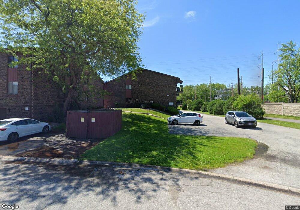
423 Fisher St Unit B Munster, IN 46321
Estimated Value: $174,000 - $196,000
2
Beds
2
Baths
1,200
Sq Ft
$156/Sq Ft
Est. Value
About This Home
This home is located at 423 Fisher St Unit B, Munster, IN 46321 and is currently estimated at $187,203, approximately $156 per square foot. 423 Fisher St Unit B is a home located in Lake County with nearby schools including Munster High School, St. Thomas More School, and Lansing Christian School.
Ownership History
Date
Name
Owned For
Owner Type
Purchase Details
Closed on
May 30, 2017
Sold by
Mohamed Abdel Salem and Canales Yeni
Bought by
Canales Rosalinda Martinez
Current Estimated Value
Home Financials for this Owner
Home Financials are based on the most recent Mortgage that was taken out on this home.
Original Mortgage
$101,850
Outstanding Balance
$84,741
Interest Rate
4.03%
Mortgage Type
New Conventional
Estimated Equity
$102,462
Purchase Details
Closed on
May 16, 2011
Sold by
Lukoshus Wesley K and Lukoshus Curtis L
Bought by
Salem Abdel and Canales Yeni
Purchase Details
Closed on
May 2, 2008
Sold by
Lukoshus Albert G
Bought by
Lukoshus Wesley K and Lukoshus Curtis L
Create a Home Valuation Report for This Property
The Home Valuation Report is an in-depth analysis detailing your home's value as well as a comparison with similar homes in the area
Home Values in the Area
Average Home Value in this Area
Purchase History
| Date | Buyer | Sale Price | Title Company |
|---|---|---|---|
| Canales Rosalinda Martinez | -- | Meridian Title Corp | |
| Salem Abdel | -- | Community Title Company | |
| Lukoshus Wesley K | -- | None Available |
Source: Public Records
Mortgage History
| Date | Status | Borrower | Loan Amount |
|---|---|---|---|
| Open | Canales Rosalinda Martinez | $101,850 |
Source: Public Records
Tax History Compared to Growth
Tax History
| Year | Tax Paid | Tax Assessment Tax Assessment Total Assessment is a certain percentage of the fair market value that is determined by local assessors to be the total taxable value of land and additions on the property. | Land | Improvement |
|---|---|---|---|---|
| 2024 | $4,155 | $178,000 | $39,000 | $139,000 |
| 2023 | $1,265 | $135,900 | $30,000 | $105,900 |
| 2022 | $1,265 | $122,000 | $30,000 | $92,000 |
| 2021 | $1,134 | $112,700 | $25,000 | $87,700 |
| 2020 | $1,203 | $117,100 | $25,000 | $92,100 |
| 2019 | $1,151 | $105,900 | $25,000 | $80,900 |
| 2018 | $1,128 | $104,100 | $25,000 | $79,100 |
| 2017 | $1,120 | $102,400 | $25,000 | $77,400 |
| 2016 | $2,836 | $98,100 | $25,000 | $73,100 |
| 2014 | $2,821 | $96,700 | $25,000 | $71,700 |
| 2013 | $2,769 | $96,800 | $25,000 | $71,800 |
Source: Public Records
Map
Nearby Homes
- 8825 Janeway Ct Unit 1
- 8825 Janeway Ct Unit 8
- 8750 Harrison Ave Unit 214
- 8750 Harrison Ave Unit 211
- 8745 Janeway Ct Unit J3
- 544 Cedar Ct
- 212 Timrick Dr
- 545 Cambridge Ct Unit 1D
- 543 Hickory Ln
- 8767 Monroe Ave
- 8838 Madison Ct
- 8749 Monroe Ave
- 8778 Madison Ave
- 8624 Garfield Ave
- 8760 Madison Ave
- 26 Timrick Dr
- 18 Timrick Dr
- 8546 Hohman Ave
- 8612 Jefferson Ave
- 249 Briar Ln
- 423 Fisher St Unit D
- 423 Fisher St Unit 423-B
- 423 Fisher St Unit A-2
- 423 Fisher St Unit A
- 423 Fisher St Unit D
- 423 Fisher St Unit 423C
- 423 Fisher St
- 423 Fisher St
- 419 Fisher St Unit 1-A
- 419 Fisher St
- 419 Fisher St Unit 419C
- 419 Fisher St Unit 419B
- 419 Fisher St Unit A
- 419 Fisher St Unit A-1
- 419 Fisher St Unit B
- 427 Fisher St Unit D
- 427 Fisher St Unit 427B
- 427 Fisher St
- 427 Fisher St Unit B
- 431 Fisher St Unit D