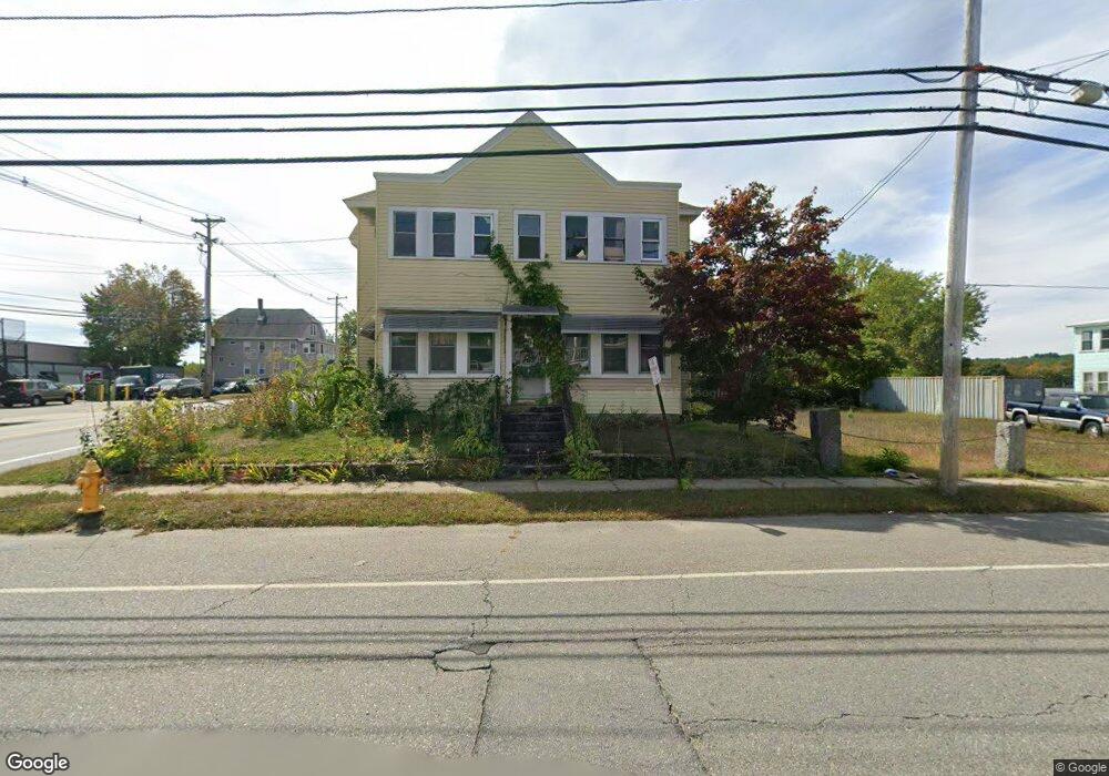
423 Lancaster St Leominster, MA 01453
Estimated Value: $435,000 - $638,000
5
Beds
2
Baths
2,700
Sq Ft
$199/Sq Ft
Est. Value
About This Home
This home is located at 423 Lancaster St, Leominster, MA 01453 and is currently estimated at $538,494, approximately $199 per square foot. 423 Lancaster St is a home located in Worcester County with nearby schools including Leominster High School, St. Anna Catholic School, and St. Leo School.
Ownership History
Date
Name
Owned For
Owner Type
Purchase Details
Closed on
Jun 29, 2001
Sold by
Amico Lorenzo and Amico Ernestine
Bought by
Beirholm Neil E and Beirholm Deborah K
Current Estimated Value
Home Financials for this Owner
Home Financials are based on the most recent Mortgage that was taken out on this home.
Original Mortgage
$144,855
Outstanding Balance
$55,823
Interest Rate
7.14%
Mortgage Type
Purchase Money Mortgage
Estimated Equity
$482,671
Create a Home Valuation Report for This Property
The Home Valuation Report is an in-depth analysis detailing your home's value as well as a comparison with similar homes in the area
Home Values in the Area
Average Home Value in this Area
Purchase History
| Date | Buyer | Sale Price | Title Company |
|---|---|---|---|
| Beirholm Neil E | $146,000 | -- |
Source: Public Records
Mortgage History
| Date | Status | Borrower | Loan Amount |
|---|---|---|---|
| Open | Beirholm Neil E | $144,855 |
Source: Public Records
Tax History Compared to Growth
Tax History
| Year | Tax Paid | Tax Assessment Tax Assessment Total Assessment is a certain percentage of the fair market value that is determined by local assessors to be the total taxable value of land and additions on the property. | Land | Improvement |
|---|---|---|---|---|
| 2025 | $6,180 | $440,500 | $110,900 | $329,600 |
| 2024 | $5,702 | $393,000 | $105,600 | $287,400 |
| 2023 | $5,433 | $349,600 | $91,800 | $257,800 |
| 2022 | $5,172 | $312,300 | $79,900 | $232,400 |
| 2021 | $4,882 | $269,300 | $62,200 | $207,100 |
| 2020 | $4,842 | $269,300 | $62,200 | $207,100 |
| 2019 | $4,388 | $236,700 | $59,200 | $177,500 |
| 2018 | $4,256 | $220,200 | $57,500 | $162,700 |
| 2017 | $3,433 | $174,000 | $53,700 | $120,300 |
| 2016 | $3,264 | $166,700 | $53,700 | $113,000 |
| 2015 | $3,072 | $158,000 | $53,700 | $104,300 |
| 2014 | $3,026 | $160,200 | $58,900 | $101,300 |
Source: Public Records
Map
Nearby Homes
- 6 Longwood Ave
- 498 Lancaster St
- 55 Lakeview St
- 14 Florence St
- 556 Central St Unit 39
- 556 Central St Unit 4
- 31 Johnson St
- 49 Meadow Pond Dr Unit C
- 49 Meadow Pond Dr Unit I
- 81 Cortland Cir Unit 81
- 22 2nd Ave
- 10 Abbey Rd Unit 108
- 30 Abbey Rd Unit 207
- 10 Abbey Rd Unit 205
- 30 Abbey Rd Unit 104
- 30 Abbey Rd Unit 202
- 30 Abbey Rd Unit 108
- 59 Webber St
- 46 Viscoloid Ave
- 197 Chapman Place Unit 197
- 15 Elm Hill Ave
- 420 Lancaster St
- 420 Lancaster St Unit 2
- 420 Lancaster St Unit 1
- 411 Lancaster St
- 411 Lancaster St Unit Lot 0013B
- 416 Lancaster St
- 428 Lancaster St
- 21 Elm Hill Ave
- 412 Lancaster St
- 18 Elm Hill Ave Unit 20
- 18-20 Elm Hill Ave
- 27 Elm Hill Ave
- 9 Dudley St
- 401 Lancaster St
- 435 Lancaster St Unit 330D
- 435 Lancaster St Unit 314
- 435 Lancaster St Unit 338
- 435 Lancaster St Unit 322
- 435 Lancaster St Unit 353