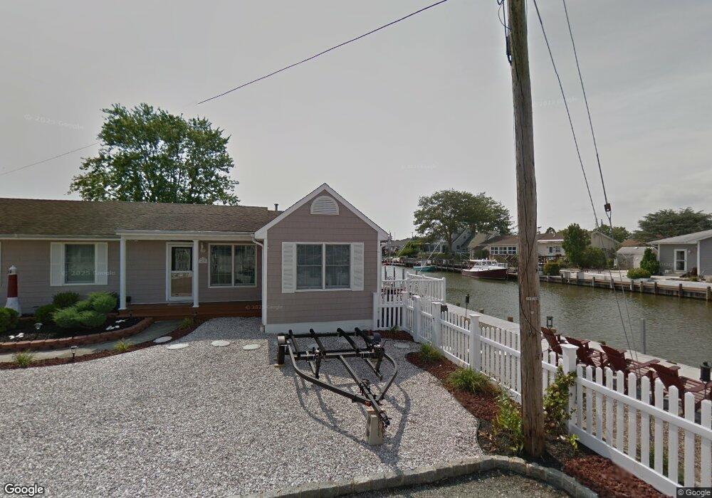
423 Middle Branch Dr Forked River, NJ 08731
Estimated Value: $573,000 - $683,000
About This Home
This home is located at 423 Middle Branch Dr, Forked River, NJ 08731 and is currently estimated at $643,251, approximately $379 per square foot. 423 Middle Branch Dr is a home located in Ocean County with nearby schools including Lacey Township High School.
Ownership History
We collect this data history from publicly available records. To have your information removed, we recommend requesting removal directly through your county’s website.
Purchase Details
Home Financials for this Owner
Home Financials are based on the most recent Mortgage that was taken out on this home.Purchase Details
Home Financials for this Owner
Home Financials are based on the most recent Mortgage that was taken out on this home.Home Values in the Area
Average Home Value in this Area
Purchase History
We collect this data history from publicly available records. To have your information removed, we recommend requesting removal directly through your county’s website.
| Date | Buyer | Sale Price | Title Company |
|---|---|---|---|
| $375,000 | New Jersey Title Ins Co | ||
| -- | -- |
Mortgage History
We collect this data history from publicly available records. To have your information removed, we recommend requesting removal directly through your county’s website.
| Date | Status | Borrower | Loan Amount |
|---|---|---|---|
| Open | $37,500 | ||
| Open | $300,000 | ||
| Previous Owner | $35,000 |
Tax History
We collect this data history from publicly available records. To have your information removed, we recommend requesting removal directly through your county’s website.
| Year | Tax Paid | Tax Assessment Tax Assessment Total Assessment is a certain percentage of the fair market value that is determined by local assessors to be the total taxable value of land and additions on the property. | Land | Improvement |
|---|---|---|---|---|
| 2025 | $8,656 | $316,500 | $171,800 | $144,700 |
| 2024 | $7,498 | $316,500 | $171,800 | $144,700 |
| 2023 | $7,162 | $316,500 | $171,800 | $144,700 |
| 2022 | $7,162 | $316,500 | $171,800 | $144,700 |
| 2021 | $7,042 | $316,500 | $171,800 | $144,700 |
| 2020 | $6,817 | $316,500 | $171,800 | $144,700 |
| 2019 | $6,697 | $316,500 | $171,800 | $144,700 |
| 2018 | $6,618 | $316,500 | $171,800 | $144,700 |
| 2017 | $6,466 | $316,500 | $171,800 | $144,700 |
| 2016 | $6,441 | $316,500 | $171,800 | $144,700 |
| 2015 | $6,153 | $316,500 | $171,800 | $144,700 |
| 2014 | $7,040 | $409,300 | $271,800 | $137,500 |
Map
- 404 Whyatt Ct
- 418 Beach Blvd
- 306 Richard Rd
- 301 Richard Rd
- 312 Beach Blvd
- 463 Ensign Rd
- 302 Beach Blvd
- 69 Saltspray Dr
- 75 Saltspray Dr
- 79 Saltspray Dr
- 67 Saltspray Dr
- 718 Clearwater Dr
- 456 Dock Rd
- 12 Hollywood Blvd N
- 74 Saltspray Dr
- 481 Admiral Rd
- 614 Beach Blvd
- 475 Admiral Rd
- 204 Coral Way S
- 615 Beach Blvd
- 422 Middle Branch Dr
- 421 Middle Branch Dr
- 424 Middle Branch Dr
- 425 Middle Branch Dr
- 312 Richard Rd
- 412 Whyatt Ct
- 313 Richard Rd
- 426 Middle Branch Dr
- 414 Whyatt Ct
- 420 Middle Branch Dr
- 416 Whyatt Ct
- 427 Middle Branch Dr
- 314 Richard Rd
- 410 Whyatt Ct
- 0 Middle Branch Dr Unit NJOC217938
- 311 Richard Rd
- 428 Middle Branch Dr
- 310 Richard Rd
- 408 Whyatt Ct
- 316 Richard Rd
Ask me questions while you tour the home.