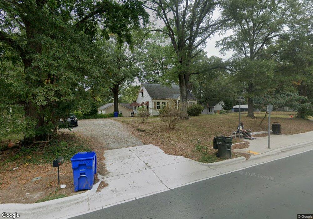
423 N Hardee St Durham, NC 27703
East Durham NeighborhoodEstimated Value: $259,000 - $302,000
4
Beds
2
Baths
1,585
Sq Ft
$177/Sq Ft
Est. Value
About This Home
This home is located at 423 N Hardee St, Durham, NC 27703 and is currently estimated at $280,788, approximately $177 per square foot. 423 N Hardee St is a home located in Durham County with nearby schools including Y E Smith Elementary, W.G. Pearson Elementary School, and Brogden Middle.
Ownership History
Date
Name
Owned For
Owner Type
Purchase Details
Closed on
Feb 22, 2012
Sold by
Hood Bobby Lee and Hood Minnetta C
Bought by
Starr Todd C and Starr Amy L
Current Estimated Value
Purchase Details
Closed on
Aug 15, 2001
Sold by
Graham Lynn E and Graham Felicia Lennon
Bought by
Poe Minetta C
Home Financials for this Owner
Home Financials are based on the most recent Mortgage that was taken out on this home.
Original Mortgage
$67,200
Interest Rate
9.5%
Purchase Details
Closed on
Jun 6, 2001
Sold by
Citifinancial Mtg Company Inc
Bought by
Nelson Yuri
Create a Home Valuation Report for This Property
The Home Valuation Report is an in-depth analysis detailing your home's value as well as a comparison with similar homes in the area
Home Values in the Area
Average Home Value in this Area
Purchase History
| Date | Buyer | Sale Price | Title Company |
|---|---|---|---|
| Starr Todd C | $30,000 | None Available | |
| Poe Minetta C | $84,000 | -- | |
| Nelson Yuri | $45,000 | -- |
Source: Public Records
Mortgage History
| Date | Status | Borrower | Loan Amount |
|---|---|---|---|
| Previous Owner | Poe Minetta C | $67,200 | |
| Closed | Poe Minetta C | $12,600 |
Source: Public Records
Tax History
| Year | Tax Paid | Tax Assessment Tax Assessment Total Assessment is a certain percentage of the fair market value that is determined by local assessors to be the total taxable value of land and additions on the property. | Land | Improvement |
|---|---|---|---|---|
| 2025 | $2,505 | $252,742 | $78,000 | $174,742 |
| 2024 | $1,424 | $102,086 | $19,470 | $82,616 |
| 2023 | $1,307 | $102,086 | $19,470 | $82,616 |
| 2022 | $1,307 | $102,086 | $19,470 | $82,616 |
| 2021 | $1,300 | $102,086 | $19,470 | $82,616 |
| 2020 | $1,270 | $102,086 | $19,470 | $82,616 |
| 2019 | $1,270 | $118,315 | $19,470 | $98,845 |
| 2018 | $1,096 | $80,776 | $22,715 | $58,061 |
| 2017 | $1,088 | $80,776 | $22,715 | $58,061 |
| 2016 | $1,051 | $80,776 | $22,715 | $58,061 |
| 2015 | $1,193 | $86,155 | $22,439 | $63,716 |
| 2014 | $1,193 | $86,155 | $22,439 | $63,716 |
Source: Public Records
Map
Nearby Homes
- 1147 Delano St
- 681 Muldee St
- 1116 Delano St
- 212 Southerland St
- 525 N Hoover Rd
- 113 Herbert St
- 1139 N Miami Blvd
- 1606C Juniper St
- 1606 Juniper St
- 1606D Juniper St
- 1609 Juniper St
- 612 Raynor St
- 610 Raynor St
- 1601 Lathrop St
- 1605 Kilmer Terrace
- 1505 Juniper St
- 702 Brye St
- 504 Raynor St
- 322 Junction Rd Unit 28h
- 2513 Rochelle St
- 1158 Delano St
- 421 N Hardee St
- 501 N Hardee St
- 1159 Delano St
- 1156 Delano St
- 419 N Hardee St
- 424 N Hardee St
- 1152 Delano St
- 422 N Hardee St
- 505 N Hardee St
- 420 N Hardee St
- 1157 Delano St
- 1150 Delano St
- 1155 Delano St
- 1151 Raynor St
- 509 N Hardee St
- 418 N Hardee St
- 1147 Raynor St
- 1153 Delano St
- 1143 Raynor St
Your Personal Tour Guide
Ask me questions while you tour the home.