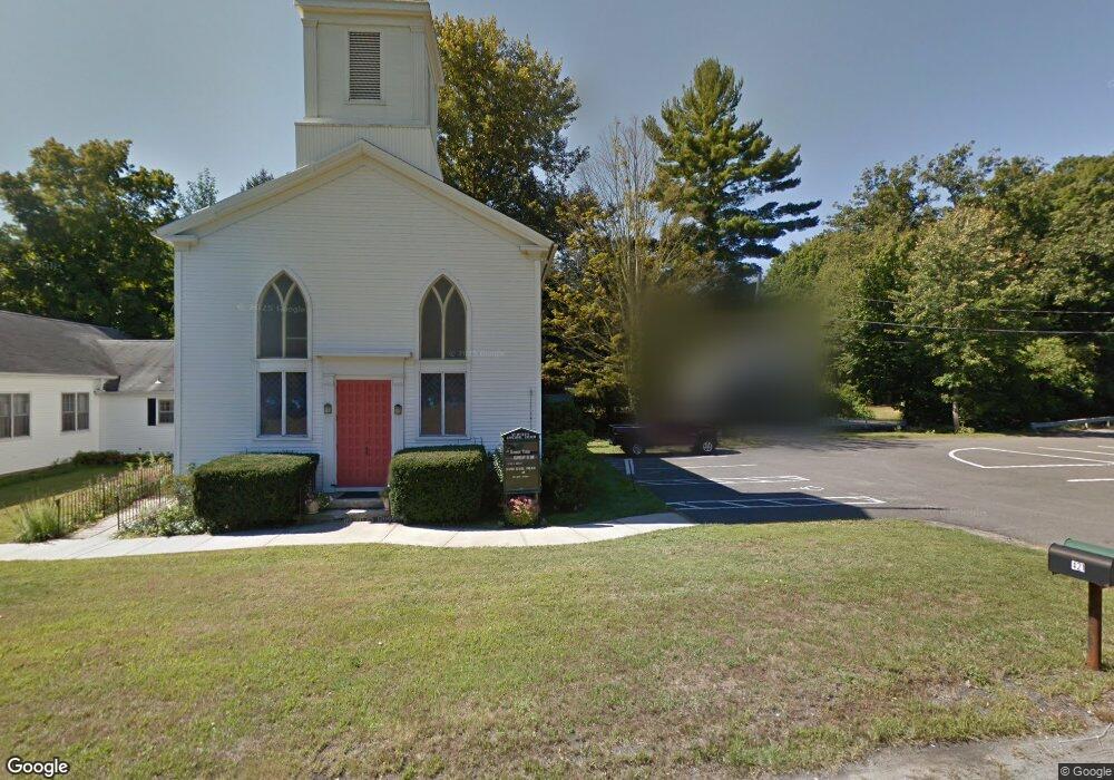
423 Oxford Rd Oxford, CT 06478
Estimated Value: $390,000 - $523,000
3
Beds
1
Bath
2,089
Sq Ft
$233/Sq Ft
Est. Value
About This Home
This home is located at 423 Oxford Rd, Oxford, CT 06478 and is currently estimated at $486,389, approximately $232 per square foot. 423 Oxford Rd is a home located in New Haven County with nearby schools including Quaker Farms School, Oxford Middle School, and Oxford High School.
Ownership History
Date
Name
Owned For
Owner Type
Purchase Details
Closed on
Oct 18, 2019
Sold by
George Phillip A
Bought by
Shaham Emily F and Shaham George Phillip
Current Estimated Value
Home Financials for this Owner
Home Financials are based on the most recent Mortgage that was taken out on this home.
Original Mortgage
$184,000
Outstanding Balance
$141,600
Interest Rate
3.7%
Mortgage Type
New Conventional
Estimated Equity
$344,789
Purchase Details
Closed on
Jul 13, 2009
Sold by
Danusiar John J
Bought by
George Phillip A
Home Financials for this Owner
Home Financials are based on the most recent Mortgage that was taken out on this home.
Original Mortgage
$220,750
Interest Rate
4.93%
Mortgage Type
Purchase Money Mortgage
Create a Home Valuation Report for This Property
The Home Valuation Report is an in-depth analysis detailing your home's value as well as a comparison with similar homes in the area
Home Values in the Area
Average Home Value in this Area
Purchase History
| Date | Buyer | Sale Price | Title Company |
|---|---|---|---|
| Shaham Emily F | -- | -- | |
| Shaham Emily F | -- | -- | |
| George Phillip A | $224,900 | -- | |
| George Phillip A | $224,900 | -- |
Source: Public Records
Mortgage History
| Date | Status | Borrower | Loan Amount |
|---|---|---|---|
| Open | Shaham Emily F | $184,000 | |
| Closed | Shaham Emily F | $184,000 | |
| Previous Owner | George Phillip A | $220,750 | |
| Previous Owner | George Phillip A | $45,500 |
Source: Public Records
Tax History Compared to Growth
Tax History
| Year | Tax Paid | Tax Assessment Tax Assessment Total Assessment is a certain percentage of the fair market value that is determined by local assessors to be the total taxable value of land and additions on the property. | Land | Improvement |
|---|---|---|---|---|
| 2025 | $5,215 | $260,610 | $70,350 | $190,260 |
| 2024 | $4,473 | $173,300 | $70,000 | $103,300 |
| 2023 | $4,248 | $173,300 | $70,000 | $103,300 |
| 2022 | $4,012 | $164,700 | $70,000 | $94,700 |
| 2021 | $3,788 | $164,700 | $70,000 | $94,700 |
| 2020 | $3,674 | $154,100 | $70,300 | $83,800 |
| 2019 | $3,674 | $154,100 | $70,300 | $83,800 |
| 2018 | $3,552 | $154,100 | $70,300 | $83,800 |
| 2017 | $3,423 | $154,100 | $70,300 | $83,800 |
| 2016 | $3,731 | $154,100 | $70,300 | $83,800 |
| 2015 | $3,607 | $144,500 | $58,800 | $85,700 |
| 2014 | $3,594 | $144,500 | $58,800 | $85,700 |
Source: Public Records
Map
Nearby Homes
- 7 Butternut Ln
- 6 Autumn Ridge Rd
- 10 Willow St
- 000 Dorman Rd
- 93 Hogs Back Rd
- 76 Dorman Rd
- 147 Riggs St
- 50 Ancient Hwy
- 574 Oxford Rd
- 7 Council Dr
- 185 Country Club Dr
- 0 Christian St Unit 24096996
- 709 Championship Dr Unit 709
- 0 Larkey Rd
- 945 Mackenzie Ln Unit 945
- Parcel B Old Moose Hill Rd
- Parcel A Old Moose Hill Rd
- 106 Country Club Dr
- 413 Mulligan Dr
- lot1 Deerwood Rd
- Lot 67 Oxford Crest St
- 00 Confidential Route
- 13 Governors Hill Rd
- 6 Governors Hill Rd
- 6 Governors Hill Rd
- 11 Dutton Rd
- 24 Dutton Rd
- 24 Dutton Rd
- 413 Oxford Rd
- 2 Governors Hill Rd
- 426 Oxford Rd
- 17 Dutton Rd
- 428 Oxford Rd
- 411 Oxford Rd
- 19 Governors Hill Rd
- 430 Oxford Rd
- 409 Oxford Rd
- 436 Oxford Rd
- 15 Riggs St
- 23 Riggs St