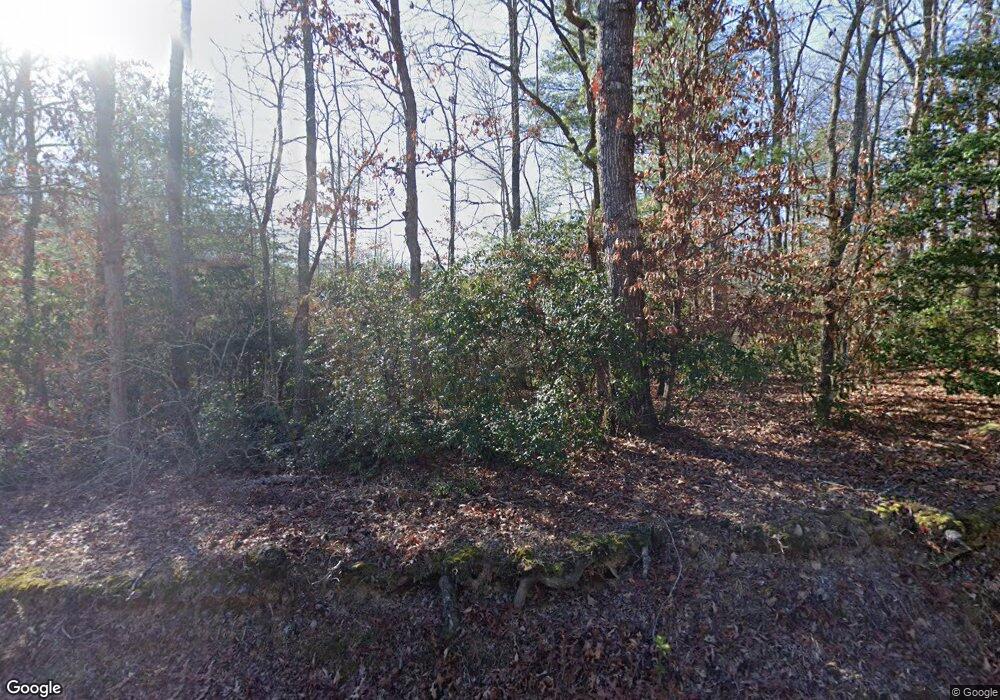
423 Pearl Wright Rd Blairsville, GA 30512
Estimated Value: $230,585 - $357,000
2
Beds
1
Bath
864
Sq Ft
$312/Sq Ft
Est. Value
About This Home
This home is located at 423 Pearl Wright Rd, Blairsville, GA 30512 and is currently estimated at $269,146, approximately $311 per square foot. 423 Pearl Wright Rd is a home located in Union County with nearby schools including Union County Primary School, Union County Elementary School, and Union County Middle School.
Ownership History
Date
Name
Owned For
Owner Type
Purchase Details
Closed on
Sep 30, 2020
Sold by
Lampe John W
Bought by
Lampe Family Rev Liv Tr
Current Estimated Value
Purchase Details
Closed on
Jul 18, 2011
Sold by
Peacock Linda Dianne
Bought by
Lampe John W and Lampe Teresa
Home Financials for this Owner
Home Financials are based on the most recent Mortgage that was taken out on this home.
Original Mortgage
$45,325
Interest Rate
4.53%
Mortgage Type
New Conventional
Purchase Details
Closed on
Apr 27, 2007
Sold by
Munkas Diane Mann
Bought by
Peacock Leonard L and Peacock Linda Dianne
Home Financials for this Owner
Home Financials are based on the most recent Mortgage that was taken out on this home.
Original Mortgage
$135,500
Interest Rate
6.11%
Mortgage Type
New Conventional
Purchase Details
Closed on
Jun 5, 2003
Sold by
Brumit Michael E
Bought by
Vodarick Reda
Purchase Details
Closed on
Jul 17, 1995
Bought by
Brumit Michael E
Create a Home Valuation Report for This Property
The Home Valuation Report is an in-depth analysis detailing your home's value as well as a comparison with similar homes in the area
Home Values in the Area
Average Home Value in this Area
Purchase History
| Date | Buyer | Sale Price | Title Company |
|---|---|---|---|
| Lampe Family Rev Liv Tr | -- | -- | |
| Lampe John W | $64,750 | -- | |
| Peacock Leonard L | $147,500 | -- | |
| Vodarick Reda | $106,000 | -- | |
| Brumit Michael E | $62,000 | -- |
Source: Public Records
Mortgage History
| Date | Status | Borrower | Loan Amount |
|---|---|---|---|
| Previous Owner | Lampe John W | $45,325 | |
| Previous Owner | Peacock Leonard L | $135,500 |
Source: Public Records
Tax History Compared to Growth
Tax History
| Year | Tax Paid | Tax Assessment Tax Assessment Total Assessment is a certain percentage of the fair market value that is determined by local assessors to be the total taxable value of land and additions on the property. | Land | Improvement |
|---|---|---|---|---|
| 2024 | $968 | $84,000 | $10,600 | $73,400 |
| 2023 | $1,079 | $83,040 | $10,600 | $72,440 |
| 2022 | $882 | $68,240 | $9,800 | $58,440 |
| 2021 | $919 | $58,320 | $9,800 | $48,520 |
| 2020 | $623 | $32,942 | $10,628 | $22,314 |
| 2019 | $589 | $32,942 | $10,628 | $22,314 |
| 2018 | $579 | $32,942 | $10,628 | $22,314 |
| 2017 | $579 | $32,942 | $10,628 | $22,314 |
| 2016 | $579 | $32,942 | $10,628 | $22,314 |
| 2015 | $584 | $32,942 | $10,628 | $22,314 |
| 2013 | -- | $32,942 | $10,628 | $22,314 |
Source: Public Records
Map
Nearby Homes
- LOT 10 Hawks Nest Rd Unit 10
- lot 8 Hawks Nest Rd
- 10 W Hawks Nest Rd
- 125 Spivey Ridge Rd
- 540 Young Cane Creek Rd
- Lot 16 Stacy Ln
- Lot 17 Stacy Ln
- 369 Timber Blossom Dr
- 274 Wild Ridge Rd
- LOT 48 Laurel Brooke
- 763 Sharp Top Cir
- 63 Rolling Hills
- LOT 29 Sharp Top Cir
- LOT 26 Sharp Top Cir
- 127 Hard Rock Hill
- 18 Dillard Place
- LOT 32 Byers Rd
- LT 32 Byers Rd
- Lot 25 Byers Rd
- 001 Harmony Rd
- 1353 Pearl Wright Rd
- 379 Pearl Wright Rd
- 386 Pearl Wright Rd
- 135 Rusty Ln
- 500 Pearl Wright Rd
- 21 Hawks Nest Rd
- 512 Pearl Wright Rd
- 0 Pearl Wright Rd Unit 8750336
- 0 Pearl Wright Rd
- 335 Pearl Wright Rd
- 374 Pearl Wright Rd
- 43 Hawks Nest Rd
- 546 Pearl Wright Rd
- 116 Margie Ln
- 44 Hawks Nest Rd
- 91 Margie Ln
- 91 Margie Ln Unit 9
- 145 Margie Ln
- 481 Hawks Nest Rd
- 76 Margie Ln
