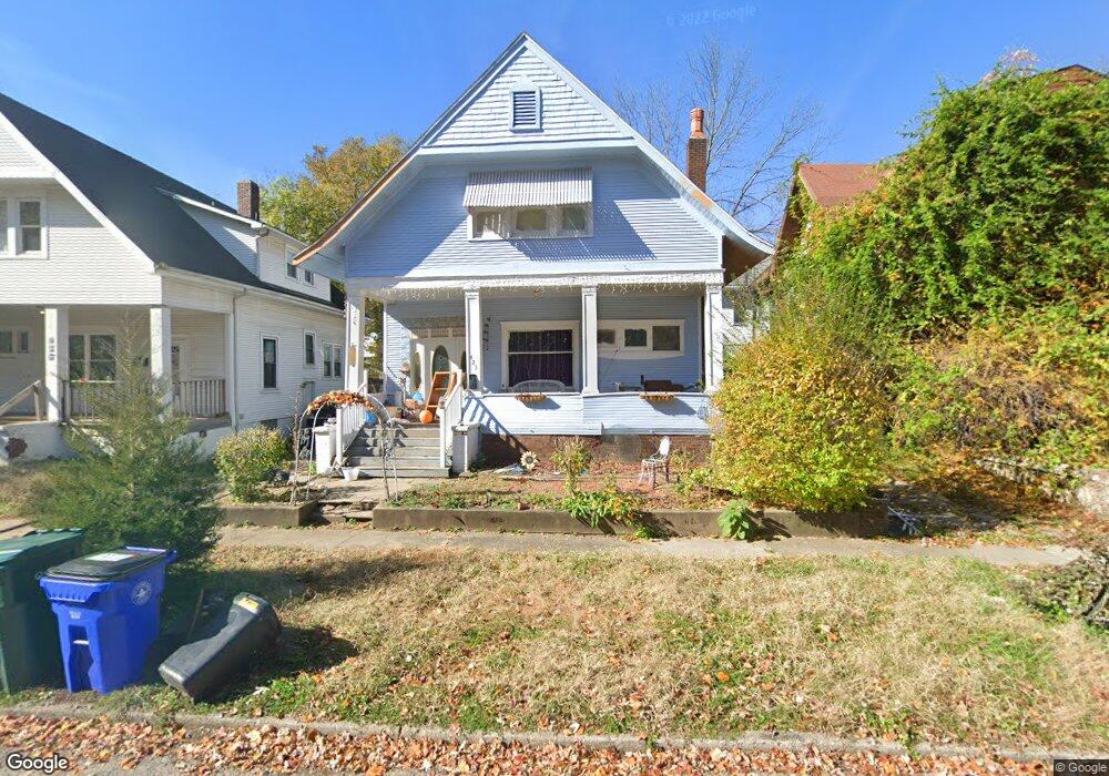
423 S Ewing Ave Decatur, IL 62522
Near West NeighborhoodEstimated Value: $52,017 - $63,000
--
Bed
1
Bath
942
Sq Ft
$61/Sq Ft
Est. Value
About This Home
This home is located at 423 S Ewing Ave, Decatur, IL 62522 and is currently estimated at $57,254, approximately $60 per square foot. 423 S Ewing Ave is a home located in Macon County with nearby schools including Dennis Lab School, St. Patrick School, and Teen Challenge-Home For Girls.
Ownership History
Date
Name
Owned For
Owner Type
Purchase Details
Closed on
Oct 15, 2025
Sold by
Safe Harbor Management Llc
Bought by
Caerus Holdings Il Llc
Current Estimated Value
Purchase Details
Closed on
Dec 3, 2024
Sold by
Brandis Darren and Koslofski Lillian
Bought by
Safe Harbor Management Llc
Purchase Details
Closed on
Jul 11, 2017
Sold by
Fox Heather
Bought by
Koslfski Lillian
Purchase Details
Closed on
Nov 1, 2012
Sold by
Cox Kenneth
Bought by
Cox Heather
Create a Home Valuation Report for This Property
The Home Valuation Report is an in-depth analysis detailing your home's value as well as a comparison with similar homes in the area
Home Values in the Area
Average Home Value in this Area
Purchase History
| Date | Buyer | Sale Price | Title Company |
|---|---|---|---|
| Caerus Holdings Il Llc | $16,000 | None Listed On Document | |
| Safe Harbor Management Llc | $3,500 | None Listed On Document | |
| Koslfski Lillian | -- | None Available | |
| Cox Heather | -- | None Available |
Source: Public Records
Tax History Compared to Growth
Tax History
| Year | Tax Paid | Tax Assessment Tax Assessment Total Assessment is a certain percentage of the fair market value that is determined by local assessors to be the total taxable value of land and additions on the property. | Land | Improvement |
|---|---|---|---|---|
| 2024 | $995 | $16,276 | $1,480 | $14,796 |
| 2023 | $965 | $15,700 | $1,428 | $14,272 |
| 2022 | $749 | $13,327 | $1,321 | $12,006 |
| 2021 | $663 | $12,446 | $1,234 | $11,212 |
| 2020 | $624 | $11,867 | $1,176 | $10,691 |
| 2019 | $624 | $11,867 | $1,176 | $10,691 |
| 2018 | $597 | $11,685 | $1,470 | $10,215 |
| 2017 | $1,257 | $11,997 | $1,509 | $10,488 |
| 2016 | $1,281 | $12,119 | $1,524 | $10,595 |
| 2015 | $1,217 | $11,905 | $1,497 | $10,408 |
| 2014 | $1,138 | $11,787 | $1,482 | $10,305 |
| 2013 | $1,168 | $12,230 | $1,538 | $10,692 |
Source: Public Records
Map
Nearby Homes
- 617 W Decatur St
- 437 Powers Ln
- 612 W Macon St
- 450 W Macon St
- 628 W Forest Ave
- 440 W Macon St
- 441 S Seigel St
- 657 W Wood St
- 530 Powers Ln
- 580 Powers Ln
- 717 W Prairie Ave Unit 2
- 320 W Main St
- 650 S Crea St
- 452 W Prairie Ave
- 442 W Prairie Ave
- 899 W Main St
- 233 N Edward St
- 281 W Prairie Ave
- 366 W Prairie Ave
- 609 W William St
- 539 W Decatur St
- 427 S Ewing Ave
- 555 W Decatur St
- 441 S Ewing Ave
- 563 W Decatur St
- 517 W Decatur St
- 447 S Ewing Ave
- 414 S Monroe St
- 422 S Monroe St
- 509 W Decatur St
- 434 S Monroe St
- 446 S Ewing Ave
- 442 S Monroe St
- 538 W Decatur St
- 503 W Decatur St
- 560 W Decatur St
- 453 S Ewing Ave
- 552 W Decatur St
- 454 S Monroe St
- 572 W Decatur St