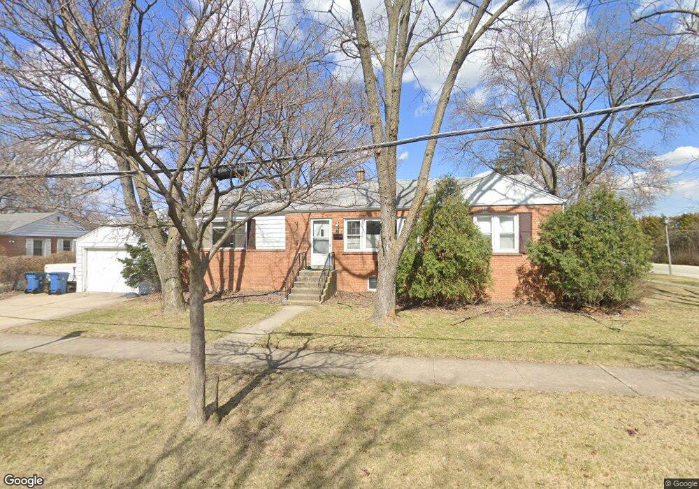
423 W Butterfield Rd Elmhurst, IL 60126
Estimated Value: $342,000 - $395,000
2
Beds
2
Baths
1,268
Sq Ft
$292/Sq Ft
Est. Value
About This Home
This home is located at 423 W Butterfield Rd, Elmhurst, IL 60126 and is currently estimated at $370,287, approximately $292 per square foot. 423 W Butterfield Rd is a home located in DuPage County with nearby schools including Salt Creek Elementary School, Stella May Swartz Elementary School, and John E Albright Middle School.
Ownership History
Date
Name
Owned For
Owner Type
Purchase Details
Closed on
May 21, 2010
Sold by
White Douglas G and White Jeffrey B
Bought by
Anderson Richard D
Current Estimated Value
Home Financials for this Owner
Home Financials are based on the most recent Mortgage that was taken out on this home.
Original Mortgage
$196,377
Outstanding Balance
$132,906
Interest Rate
5.25%
Mortgage Type
FHA
Estimated Equity
$237,381
Create a Home Valuation Report for This Property
The Home Valuation Report is an in-depth analysis detailing your home's value as well as a comparison with similar homes in the area
Home Values in the Area
Average Home Value in this Area
Purchase History
| Date | Buyer | Sale Price | Title Company |
|---|---|---|---|
| Anderson Richard D | $200,000 | Attorneys Title Guaranty Fun |
Source: Public Records
Mortgage History
| Date | Status | Borrower | Loan Amount |
|---|---|---|---|
| Open | Anderson Richard D | $196,377 |
Source: Public Records
Tax History Compared to Growth
Tax History
| Year | Tax Paid | Tax Assessment Tax Assessment Total Assessment is a certain percentage of the fair market value that is determined by local assessors to be the total taxable value of land and additions on the property. | Land | Improvement |
|---|---|---|---|---|
| 2024 | $4,922 | $98,948 | $24,126 | $74,822 |
| 2023 | $4,213 | $91,500 | $22,310 | $69,190 |
| 2022 | $4,067 | $87,950 | $21,450 | $66,500 |
| 2021 | $4,136 | $85,770 | $20,920 | $64,850 |
| 2020 | $4,090 | $83,890 | $20,460 | $63,430 |
| 2019 | $3,925 | $79,760 | $19,450 | $60,310 |
| 2018 | $3,859 | $76,610 | $18,420 | $58,190 |
| 2017 | $3,794 | $73,000 | $17,550 | $55,450 |
| 2016 | $3,566 | $68,770 | $16,530 | $52,240 |
| 2015 | $3,506 | $64,070 | $15,400 | $48,670 |
| 2014 | $4,219 | $72,630 | $12,650 | $59,980 |
| 2013 | $4,177 | $73,650 | $12,830 | $60,820 |
Source: Public Records
Map
Nearby Homes
- 1S045 Spring Rd Unit 1D
- 1S150 Spring Rd Unit 5B
- 1S150 Spring Rd Unit 4L
- 2 S Atrium Way Unit 203
- 3 Oak Brook Club Dr Unit E207
- 274 Timber View Dr
- 130 Crab Apple Ln
- 1 Oak Brook Club Dr Unit A301
- 1 Oak Brook Club Dr Unit A312
- 1200 S Prospect Ave Unit 303
- 1200 S Prospect Ave Unit 108
- 995 S Swain Ave
- 963 S Saylor Ave
- 175 W Brush Hill Rd Unit 404
- 1046 E Van Buren St
- 936 S Mitchell Ave
- 625 E Van Buren St
- 110 W Butterfield Rd Unit 502S
- 814 S Saylor Ave
- 805 S Spring Rd
- 419 W Butterfield Rd
- 415 W Butterfield Rd
- 389 W Avery St
- 382 W Avery St
- 411 W Butterfield Rd
- 435 W Butterfield Rd
- 393 W Avery St
- 407 W Butterfield Rd
- 397 W Avery St
- 390 W Avery St
- 439 W Butterfield Rd
- 394 W Avery St
- 366 W Commonwealth Ln
- 403 W Butterfield Rd
- 443 W Butterfield Rd
- 401 W Avery St
- 398 W Avery St
- 370 W Commonwealth Ln
- 374 W Commonwealth Ln
- 402 W Avery St