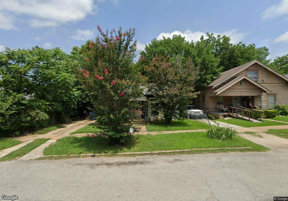
423 W Munson St Denison, TX 75020
Estimated Value: $137,897 - $207,000
--
Bed
--
Bath
1,248
Sq Ft
$138/Sq Ft
Est. Value
About This Home
This home is located at 423 W Munson St, Denison, TX 75020 and is currently estimated at $172,449, approximately $138 per square foot. 423 W Munson St is a home located in Grayson County with nearby schools including Scott Middle School, Denison High School, and St. Luke's Parish Day School.
Ownership History
Date
Name
Owned For
Owner Type
Purchase Details
Closed on
May 9, 2024
Sold by
Minshew Robert W
Bought by
Shalev Sason
Current Estimated Value
Purchase Details
Closed on
Mar 8, 2012
Sold by
Minshew Robert W
Bought by
Romero Isabel
Purchase Details
Closed on
Dec 10, 2011
Sold by
Green Linda Dale
Bought by
Minshew Robert W
Create a Home Valuation Report for This Property
The Home Valuation Report is an in-depth analysis detailing your home's value as well as a comparison with similar homes in the area
Home Values in the Area
Average Home Value in this Area
Purchase History
| Date | Buyer | Sale Price | Title Company |
|---|---|---|---|
| Shalev Sason | -- | None Listed On Document | |
| Romero Isabel | -- | None Available | |
| Minshew Robert W | -- | None Available |
Source: Public Records
Mortgage History
| Date | Status | Borrower | Loan Amount |
|---|---|---|---|
| Closed | Romero Isabel | $0 |
Source: Public Records
Tax History Compared to Growth
Tax History
| Year | Tax Paid | Tax Assessment Tax Assessment Total Assessment is a certain percentage of the fair market value that is determined by local assessors to be the total taxable value of land and additions on the property. | Land | Improvement |
|---|---|---|---|---|
| 2025 | $1,692 | $75,902 | $34,875 | $41,027 |
| 2024 | $1,692 | $72,833 | $34,875 | $37,958 |
| 2023 | $1,687 | $74,460 | $34,950 | $39,510 |
| 2022 | $1,559 | $65,635 | $31,050 | $34,585 |
| 2021 | $1,298 | $51,454 | $20,625 | $30,829 |
| 2020 | $1,208 | $45,793 | $15,000 | $30,793 |
| 2019 | $1,188 | $43,155 | $9,000 | $34,155 |
| 2018 | $1,274 | $45,907 | $6,000 | $39,907 |
| 2017 | $1,127 | $40,290 | $2,400 | $37,890 |
| 2016 | $1,022 | $36,544 | $2,400 | $34,144 |
| 2015 | $856 | $30,297 | $2,400 | $27,897 |
| 2014 | $914 | $32,338 | $2,400 | $29,938 |
Source: Public Records
Map
Nearby Homes
- 408 W Day St
- 326 W Day St
- 430 W Munson St
- 511 W Munson St
- 513 W Texas St
- 621 W Munson St
- 330 W Morgan St
- 326-328 W Morgan St
- 330 W Texas St
- 702 S Barrett Ave
- 415 W Monterey St
- 615 W Texas St
- 309 W Monterey St
- 701 W Hull St Unit 101-2
- 221 W Monterey St
- 704 W Hull St
- 110 E Munson St
- 708 W Texas St
- 609 W Owing St
- 408 W Heron St
- 417 W Munson St
- 427 W Munson St
- 415 W Munson St
- 431 W Munson St
- 431 W Munson St
- 422 W Day St
- 422 W Day St
- 810 S Fannin Ave
- 426 W Day St
- 426 W Day St
- 418 W Day St
- 405 W Munson St
- 414 W Munson St
- 430 W Munson St
- 412 W Day St
- 422 W Munson St
- 501 W Munson St
- 815 S Fannin Ave
- 418 W Munson St
- 430 W Day St