4230 Marks Ave Rootstown, OH 44272
Estimated Value: $255,000 - $311,000
3
Beds
2
Baths
1,400
Sq Ft
$202/Sq Ft
Est. Value
About This Home
This home is located at 4230 Marks Ave, Rootstown, OH 44272 and is currently estimated at $282,354, approximately $201 per square foot. 4230 Marks Ave is a home located in Portage County with nearby schools including Rootstown Middle School - Schnee Building and Rootstown High School.
Ownership History
Date
Name
Owned For
Owner Type
Purchase Details
Closed on
Nov 3, 2021
Sold by
Battaglia Angelo A
Bought by
Battaglia Nicholas J and Battaglia Sarah E
Current Estimated Value
Purchase Details
Closed on
Dec 21, 2004
Sold by
Tursi Lee Ann
Bought by
Battaglia Angelo A
Home Financials for this Owner
Home Financials are based on the most recent Mortgage that was taken out on this home.
Original Mortgage
$28,720
Interest Rate
5.84%
Mortgage Type
Purchase Money Mortgage
Create a Home Valuation Report for This Property
The Home Valuation Report is an in-depth analysis detailing your home's value as well as a comparison with similar homes in the area
Purchase History
| Date | Buyer | Sale Price | Title Company |
|---|---|---|---|
| Battaglia Nicholas J | $160,000 | None Available | |
| Battaglia Angelo A | $35,900 | Ams Title Agency |
Source: Public Records
Mortgage History
| Date | Status | Borrower | Loan Amount |
|---|---|---|---|
| Closed | Battaglia Angelo A | $28,720 |
Source: Public Records
Tax History
| Year | Tax Paid | Tax Assessment Tax Assessment Total Assessment is a certain percentage of the fair market value that is determined by local assessors to be the total taxable value of land and additions on the property. | Land | Improvement |
|---|---|---|---|---|
| 2024 | $4,393 | $105,010 | $13,060 | $91,950 |
| 2023 | $3,331 | $74,800 | $11,520 | $63,280 |
| 2022 | $3,300 | $74,800 | $11,520 | $63,280 |
| 2021 | $3,207 | $70,710 | $11,520 | $59,190 |
| 2020 | $2,880 | $61,120 | $10,960 | $50,160 |
| 2019 | $2,889 | $61,120 | $10,960 | $50,160 |
| 2018 | $2,704 | $54,360 | $11,660 | $42,700 |
| 2017 | $2,704 | $54,360 | $11,660 | $42,700 |
| 2016 | $2,671 | $54,360 | $11,660 | $42,700 |
| 2015 | $2,701 | $54,360 | $11,660 | $42,700 |
| 2014 | $2,752 | $54,360 | $11,660 | $42,700 |
| 2013 | $2,733 | $54,360 | $11,660 | $42,700 |
Source: Public Records
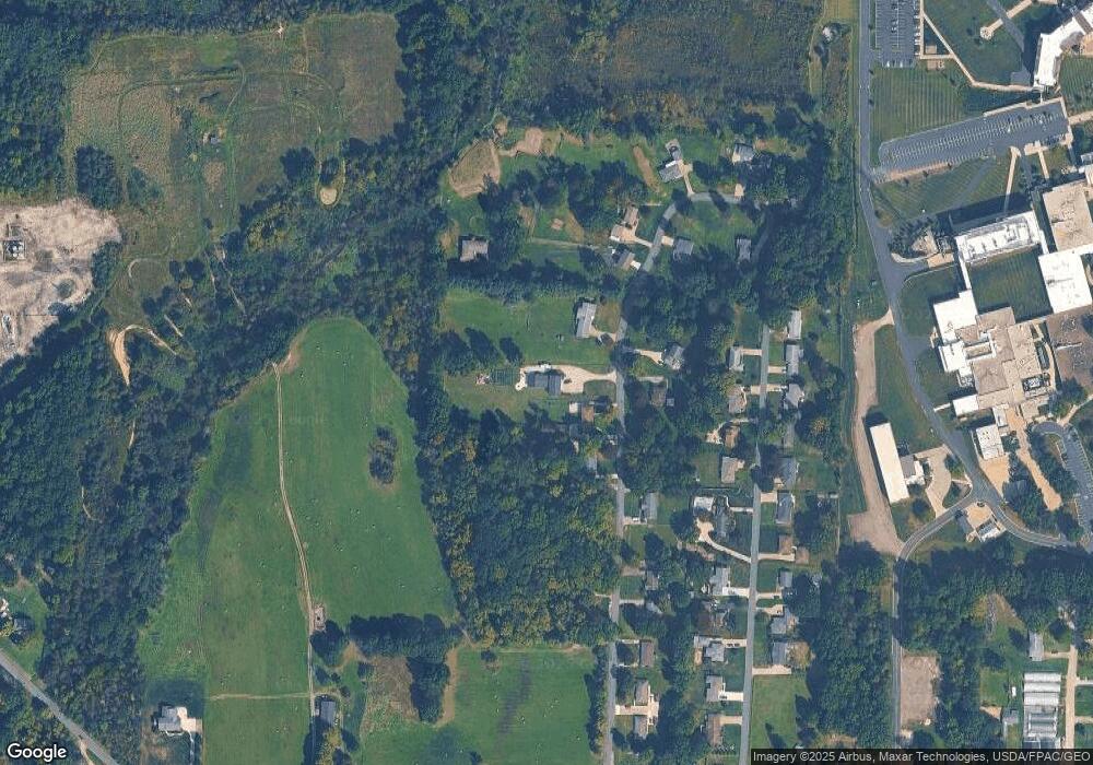
Map
Nearby Homes
- V/L 2 Lynn Rd
- V/L Lynn Rd
- 0 Lynn Rd Unit 5110102
- 3689 Cherry Hill
- sub lot Lane Ave
- 4415 Farmette Dr
- 4691 Scenic Dr
- 0 New Milford Rd Unit 11489599
- 0 New Milford Rd Unit 5108183
- 4140 Sandy Lake Rd
- 4225 Hattrick Rd
- 3136 Bird Dr
- 4058 Bayberry Knoll Ln
- 3637 Old Forge Rd
- 3925 Summit Rd
- 694 Summit Rd
- 3021 Hartville Rd
- 5403 Winding Creek Dr
- 1042 Canterbury Way Dr
- 1838 Sandy Lake Rd