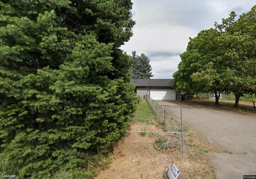
4230 N Stevenson Rd Otis Orchards, WA 99027
Otis Orchards-East Farms NeighborhoodEstimated Value: $661,000 - $765,000
4
Beds
3
Baths
2,311
Sq Ft
$302/Sq Ft
Est. Value
About This Home
This home is located at 4230 N Stevenson Rd, Otis Orchards, WA 99027 and is currently estimated at $698,683, approximately $302 per square foot. 4230 N Stevenson Rd is a home located in Spokane County with nearby schools including Otis Orchards School, East Valley Middle School, and East Valley High School & Extension.
Ownership History
Date
Name
Owned For
Owner Type
Purchase Details
Closed on
Feb 27, 1999
Sold by
Bliesner Gary D and Bliesner Carol M
Bought by
Witt Kevin E and Witt Jennifer K
Current Estimated Value
Home Financials for this Owner
Home Financials are based on the most recent Mortgage that was taken out on this home.
Original Mortgage
$145,350
Interest Rate
6.92%
Create a Home Valuation Report for This Property
The Home Valuation Report is an in-depth analysis detailing your home's value as well as a comparison with similar homes in the area
Home Values in the Area
Average Home Value in this Area
Purchase History
| Date | Buyer | Sale Price | Title Company |
|---|---|---|---|
| Witt Kevin E | $153,000 | Transnation Title Insurance |
Source: Public Records
Mortgage History
| Date | Status | Borrower | Loan Amount |
|---|---|---|---|
| Previous Owner | Witt Kevin E | $145,350 |
Source: Public Records
Tax History Compared to Growth
Tax History
| Year | Tax Paid | Tax Assessment Tax Assessment Total Assessment is a certain percentage of the fair market value that is determined by local assessors to be the total taxable value of land and additions on the property. | Land | Improvement |
|---|---|---|---|---|
| 2025 | $5,656 | $601,130 | $209,430 | $391,700 |
| 2024 | $5,656 | $577,150 | $193,550 | $383,600 |
| 2023 | $5,577 | $577,150 | $193,550 | $383,600 |
| 2022 | $5,020 | $571,750 | $193,550 | $378,200 |
| 2021 | $4,786 | $377,780 | $133,280 | $244,500 |
| 2020 | $4,652 | $345,830 | $122,930 | $222,900 |
| 2019 | $3,939 | $298,070 | $100,370 | $197,700 |
| 2018 | $3,856 | $271,510 | $75,410 | $196,100 |
| 2017 | $3,665 | $259,010 | $75,410 | $183,600 |
| 2016 | $3,456 | $244,400 | $69,200 | $175,200 |
| 2015 | $3,432 | $236,700 | $69,200 | $167,500 |
| 2014 | -- | $236,700 | $69,200 | $167,500 |
| 2013 | -- | $0 | $0 | $0 |
Source: Public Records
Map
Nearby Homes
- 24005 E Garland Ave
- 4806 N Drury Rd
- 5605 N Drury Rd
- 23007 E Sanson Ln
- 24672 Hawkstone Loop
- 24872 E Hawkstone Loop
- 24443 E Pinnacle Ct Unit 24443
- 24672 E Hawkstone Loop
- 22707 E Rowan Ave
- 2669 N Talon Ln
- 2669 Talon Ln
- 23010 E Edgewater Ln
- 23015 E Edgewater Ln
- 23013 E Edgewater Ln
- 24503 E Feather Loop
- 99999 E Dalke Ave
- Yukon Plan at Stonehill - Haven Collection
- Briarwood Plan at Stonehill - Cottage Collection
- Sedona Plan at Stonehill - Haven Collection
- 24662 E Hawkstone Loop
- 4304 N Stevenson Rd
- 4229 N Stevenson Rd
- 4225 N Stevenson Rd
- 4221 N Stevenson Rd
- 4206 N Stevenson Rd
- 4404 N Stevenson Rd
- 4205 N Stevenson Rd
- 4124 N Stevenson Rd
- 4213 N Stevenson Rd
- 4407 N Stevenson Rd
- 4420 N Stevenson Rd
- 4307 N Stevenson Rd
- 4504 N Stevenson Rd
- 4517 N Stevenson Rd
- 4115 N Stevenson Rd
- 4514 N Stevenson Rd
- 4519 N Stevenson Rd
- 23822 E Railroad Ave
- 23812 E Railroad Ave
- 4524 N Stevenson Rd