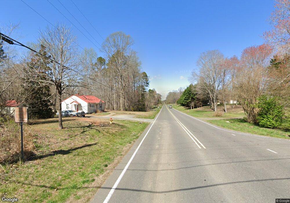
4231 Us Highway 601 N Mocksville, NC 27028
Estimated Value: $249,000 - $359,000
2
Beds
2
Baths
1,056
Sq Ft
$272/Sq Ft
Est. Value
About This Home
This home is located at 4231 Us Highway 601 N, Mocksville, NC 27028 and is currently estimated at $287,750, approximately $272 per square foot. 4231 Us Highway 601 N is a home located in Davie County with nearby schools including William R. Davie Elementary School, North Davie Middle School, and Davie County High School.
Ownership History
Date
Name
Owned For
Owner Type
Purchase Details
Closed on
Jan 25, 2021
Sold by
Barney Jeffery Michael and Barney Amanda
Bought by
Barney Patrick Jarvis
Current Estimated Value
Home Financials for this Owner
Home Financials are based on the most recent Mortgage that was taken out on this home.
Original Mortgage
$75,000
Outstanding Balance
$61,162
Interest Rate
2.67%
Mortgage Type
New Conventional
Estimated Equity
$226,588
Purchase Details
Closed on
Oct 26, 2018
Sold by
Jarvis-Barney Dorothy
Bought by
Barney Jeffrey M and Barney Patrick J
Purchase Details
Closed on
Jan 1, 2003
Create a Home Valuation Report for This Property
The Home Valuation Report is an in-depth analysis detailing your home's value as well as a comparison with similar homes in the area
Home Values in the Area
Average Home Value in this Area
Purchase History
| Date | Buyer | Sale Price | Title Company |
|---|---|---|---|
| Barney Patrick Jarvis | -- | None Available | |
| Barney Jeffrey M | -- | -- | |
| -- | -- | -- |
Source: Public Records
Mortgage History
| Date | Status | Borrower | Loan Amount |
|---|---|---|---|
| Open | Barney Patrick Jarvis | $75,000 |
Source: Public Records
Tax History Compared to Growth
Tax History
| Year | Tax Paid | Tax Assessment Tax Assessment Total Assessment is a certain percentage of the fair market value that is determined by local assessors to be the total taxable value of land and additions on the property. | Land | Improvement |
|---|---|---|---|---|
| 2025 | $1,426 | $207,130 | $53,910 | $153,220 |
| 2024 | $989 | $127,960 | $43,570 | $84,390 |
| 2023 | $989 | $127,960 | $43,570 | $84,390 |
| 2022 | $989 | $127,960 | $43,570 | $84,390 |
| 2021 | $989 | $127,960 | $43,570 | $84,390 |
| 2020 | $930 | $119,510 | $43,570 | $75,940 |
| 2019 | $932 | $119,840 | $43,900 | $75,940 |
| 2018 | $932 | $119,840 | $43,900 | $75,940 |
| 2017 | $920 | $119,840 | $0 | $0 |
| 2016 | $937 | $121,950 | $0 | $0 |
| 2015 | $937 | $121,950 | $0 | $0 |
| 2014 | $805 | $121,950 | $0 | $0 |
| 2013 | -- | $121,950 | $0 | $0 |
Source: Public Records
Map
Nearby Homes
- Knollwood Plan at Providence Place
- Southmont Plan at Providence Place
- Aster Plan at Providence Place
- Ledford Plan at Providence Place
- Abbott Plan at Providence Place
- Cotton Grove Plan at Providence Place
- 155 Cotton Ln
- 4799 Us Highway 601 N
- 228 Meadowlark Ln
- 200 Bramblewood Ln
- 5304 U S Highway 601 N
- 112 Courtney Rd
- 5173 Us Highway 601 N
- 3227 Us Highway 601 N
- 1920 Gough Stewart Rd
- 00 Ben Anderson Rd Unit LotWP001
- 153 Summerlyn Dr
- 000 Ben Anderson Rd
- 118 Arrendal Ct
- 00 Angell Rd
- 4253 Us Highway 601 N
- 4269 Us Highway 601 N
- 218 Greenfield Rd
- 4207 Us Highway 601 N
- 4207 Us Highway 601 N
- 4271 Us Highway 601 N
- 00 Whistle Stop Trail
- 217 Greenfield Rd
- 4255 Us Highway 601 N
- 4255 U S 601
- 193 Greenfield Rd
- 4205 Us Highway 601 N
- 123 Pen Ct
- 4222 Us Highway 601 N
- 181 Greenfield Rd
- 200 Greenfield Rd
- 127 Fostall Dr
- 113 Fostall Dr
- 129 Fostall Dr
- 126 Pen Ct