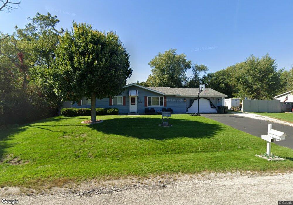
42314 N Fossland Ave Zion, IL 60099
Shore Acres NeighborhoodEstimated Value: $247,412 - $295,000
3
Beds
1
Bath
1,056
Sq Ft
$258/Sq Ft
Est. Value
About This Home
This home is located at 42314 N Fossland Ave, Zion, IL 60099 and is currently estimated at $272,603, approximately $258 per square foot. 42314 N Fossland Ave is a home located in Lake County with nearby schools including Kenneth Murphy School, Beach Park Middle School, and Zion-Benton Township High School.
Ownership History
Date
Name
Owned For
Owner Type
Purchase Details
Closed on
Jul 13, 2016
Sold by
Lococo Laura A
Bought by
Kapity William and Kapity Debora
Current Estimated Value
Purchase Details
Closed on
Dec 21, 2010
Sold by
Assemblies Of God Foundation
Bought by
Lococo Laura A
Purchase Details
Closed on
Dec 1, 2010
Sold by
Lococo Julia M and Lococo Laura A
Bought by
Lococo Laura A
Purchase Details
Closed on
Oct 24, 1998
Sold by
Brown Billy J and Brown Patricia A
Bought by
Lococo Ruth A
Create a Home Valuation Report for This Property
The Home Valuation Report is an in-depth analysis detailing your home's value as well as a comparison with similar homes in the area
Home Values in the Area
Average Home Value in this Area
Purchase History
| Date | Buyer | Sale Price | Title Company |
|---|---|---|---|
| Kapity William | $145,000 | Old Republic Title | |
| Lococo Laura A | -- | None Available | |
| Lococo Laura A | -- | None Available | |
| Lococo Ruth A | $116,500 | -- |
Source: Public Records
Tax History Compared to Growth
Tax History
| Year | Tax Paid | Tax Assessment Tax Assessment Total Assessment is a certain percentage of the fair market value that is determined by local assessors to be the total taxable value of land and additions on the property. | Land | Improvement |
|---|---|---|---|---|
| 2024 | $4,054 | $65,780 | $9,942 | $55,838 |
| 2023 | $4,181 | $57,357 | $9,597 | $47,760 |
| 2022 | $4,181 | $52,971 | $9,375 | $43,596 |
| 2021 | $4,036 | $49,219 | $9,137 | $40,082 |
| 2020 | $3,387 | $46,969 | $8,719 | $38,250 |
| 2019 | $3,530 | $44,562 | $8,272 | $36,290 |
| 2018 | $3,839 | $47,103 | $10,042 | $37,061 |
| 2017 | $3,938 | $44,312 | $9,447 | $34,865 |
| 2016 | $4,695 | $42,186 | $8,994 | $33,192 |
| 2015 | $4,523 | $38,688 | $8,248 | $30,440 |
| 2014 | $3,992 | $35,410 | $6,867 | $28,543 |
| 2012 | $3,884 | $36,797 | $7,136 | $29,661 |
Source: Public Records
Map
Nearby Homes
- 1304 Pelican Ct
- 1405 Lewis Ave
- 1531 Southport Ct
- 1521 Southport Ct
- 3616 Creekside Ct
- 3707 Willow Crest Dr
- 42908 N Lewis Ave
- 3717 Willow Crest Dr
- 0 9th St
- 43100 N Lewis Ave
- 3106 13th St
- 4014 Ridge Rd
- 429 Megan Place
- 1417 Westside Trail
- 1302 Lorelei Dr
- 1703 Hermon Ave
- 1701 Galilee Ave
- 1817 Joppa Ave
- 1814 Jethro Ave
- 1807 Horeb Ave
- 42340 N Fossland Ave
- 42313 N Fago Ave
- 42315 N Fossland Ave
- 42281 N Fossland Ave
- 42339 N Fossland Ave
- 11588 W 11th St
- 11622 W 11th St
- 42314 N Fago Ave
- 42280 Lewis Ave
- 42280 N Fago Ave
- 42340 N Fago Ave
- 11646 W 11th St
- 11623 W 11th St
- 42313 N Hanks Ave
- 11547 W 11th St
- 42339 N Hanks Ave
- 42281 N Hanks Ave
- 11589 W 11th St
- 11647 W 11th St