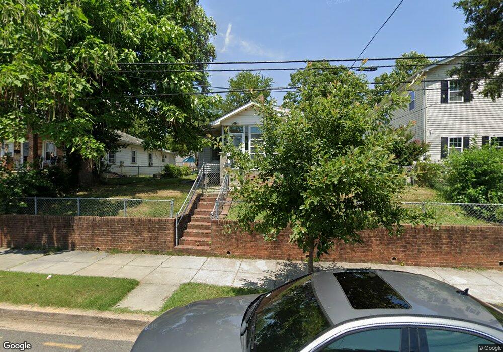
4232 Brooks St NE Washington, DC 20019
Mahaning Heights NeighborhoodEstimated Value: $359,353 - $400,000
2
Beds
1
Bath
1,200
Sq Ft
$314/Sq Ft
Est. Value
About This Home
This home is located at 4232 Brooks St NE, Washington, DC 20019 and is currently estimated at $377,118, approximately $314 per square foot. 4232 Brooks St NE is a home located in District of Columbia with nearby schools including Smothers Elementary School, Kelly Miller Middle School, and H.D. Woodson High School.
Ownership History
Date
Name
Owned For
Owner Type
Purchase Details
Closed on
Feb 25, 2001
Sold by
Sec Of H U D
Bought by
Long James M
Current Estimated Value
Home Financials for this Owner
Home Financials are based on the most recent Mortgage that was taken out on this home.
Original Mortgage
$67,877
Outstanding Balance
$24,335
Interest Rate
7.15%
Estimated Equity
$352,783
Purchase Details
Closed on
May 1, 1998
Sold by
Jackson Thelma E
Bought by
Kelly + Herbert G
Create a Home Valuation Report for This Property
The Home Valuation Report is an in-depth analysis detailing your home's value as well as a comparison with similar homes in the area
Home Values in the Area
Average Home Value in this Area
Purchase History
| Date | Buyer | Sale Price | Title Company |
|---|---|---|---|
| Long James M | $105,000 | -- | |
| Kelly + Herbert G | $118,000 | -- |
Source: Public Records
Mortgage History
| Date | Status | Borrower | Loan Amount |
|---|---|---|---|
| Open | Long James M | $67,877 |
Source: Public Records
Tax History
| Year | Tax Paid | Tax Assessment Tax Assessment Total Assessment is a certain percentage of the fair market value that is determined by local assessors to be the total taxable value of land and additions on the property. | Land | Improvement |
|---|---|---|---|---|
| 2025 | $2,223 | $351,430 | $148,560 | $202,870 |
| 2024 | $2,144 | $346,210 | $144,810 | $201,400 |
| 2023 | $1,973 | $330,630 | $139,910 | $190,720 |
| 2022 | $1,835 | $305,370 | $138,180 | $167,190 |
| 2021 | $1,686 | $289,830 | $136,140 | $153,690 |
| 2020 | $1,538 | $276,820 | $130,210 | $146,610 |
| 2019 | $292 | $257,280 | $127,020 | $130,260 |
| 2017 | $1,178 | $221,400 | $0 | $0 |
| 2016 | $1,077 | $213,570 | $0 | $0 |
Source: Public Records
Map
Nearby Homes
- 4243 Dix St NE
- 4212 Benning Rd NE Unit 6
- 4253 Eads St NE
- 4223 Benning Rd NE
- 4380 Benning Rd NE
- 4261 Edson Place NE
- 4227 Edson Place NE
- 504 45th St NE
- 4234 Edson Place NE Unit 3
- 515 45th St NE
- 4521 Clay St NE
- 4124 Ames St NE Unit 13
- 4511 Eads St NE
- 4116 Ames St NE Unit 203
- 4274 Foote St NE Unit 1
- 4208 Foote St NE
- 4419 Foote St NE
- 4110 Ames St NE Unit 102
- 4272 E Capitol St NE Unit 2
- 4530 Dix St NE
- 4236 Brooks St NE
- 4228 Brooks St NE
- 4240 Brooks St NE
- 4224 Brooks St NE
- 4235 Clay St NE
- 4253 Brooks St NE Unit 1
- 4253 Brooks St NE
- 4253 Brooks St NE Unit B
- 4231 Clay St NE
- 4244 Brooks St NE
- 4244 Brooks St NE Unit 2
- 4244 Brooks St NE Unit 1
- 4241 Clay St NE
- 4223 Brooks St NE
- 4223 Brooks St NE Unit 3
- 4223 Brooks St NE
- 4223 Brooks St NE Unit B
- 4223 Brooks St NE Unit 2
- 4225 Brooks St NE
- 4255 Brooks St NE
Your Personal Tour Guide
Ask me questions while you tour the home.