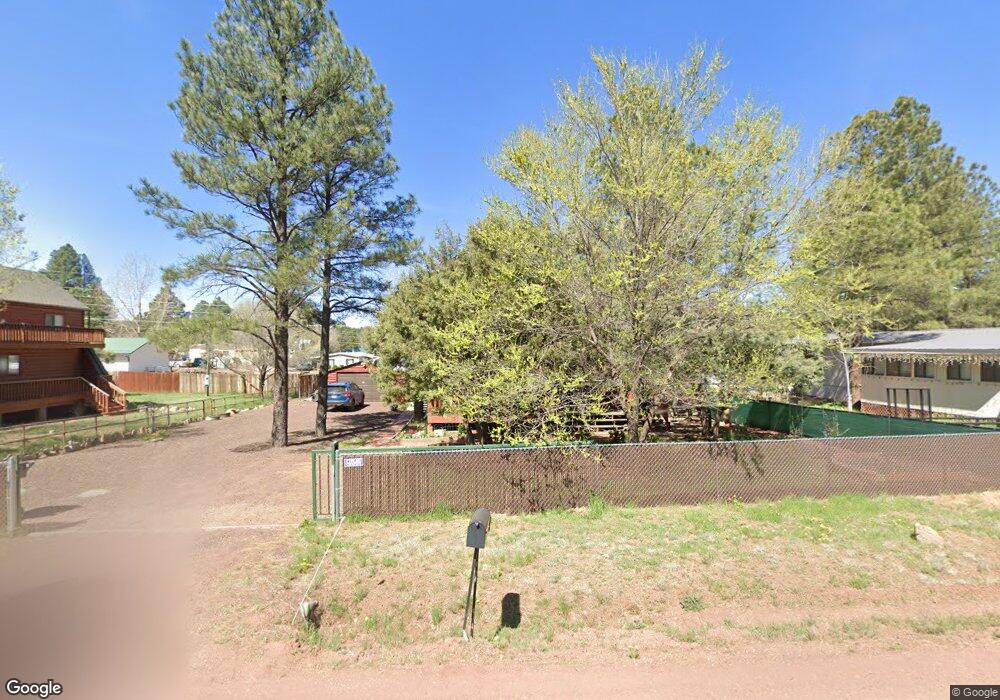
4232 Silver Fox Way Show Low, AZ 85901
Estimated Value: $255,000 - $345,749
3
Beds
2
Baths
81
Sq Ft
$3,641/Sq Ft
Est. Value
About This Home
This home is located at 4232 Silver Fox Way, Show Low, AZ 85901 and is currently estimated at $294,937, approximately $3,641 per square foot. 4232 Silver Fox Way is a home located in Navajo County with nearby schools including Nikolaus Homestead Elementary School, Show Low High School, and Show Low Junior High School.
Ownership History
Date
Name
Owned For
Owner Type
Purchase Details
Closed on
May 31, 2016
Sold by
Dennin Joseph M and Dennin Patrica A
Bought by
Dennin Joseph M and Dennin Patricia A
Current Estimated Value
Purchase Details
Closed on
Jul 2, 2012
Sold by
Fannie Mae
Bought by
Dennin Joseph M and Dennin Patricia A
Purchase Details
Closed on
May 11, 2012
Sold by
Derlatka Krzysztof
Bought by
Federal National Mortgage Association
Purchase Details
Closed on
Aug 23, 2005
Sold by
Pate Walter A
Bought by
Derlatka Krzysztof
Create a Home Valuation Report for This Property
The Home Valuation Report is an in-depth analysis detailing your home's value as well as a comparison with similar homes in the area
Home Values in the Area
Average Home Value in this Area
Purchase History
| Date | Buyer | Sale Price | Title Company |
|---|---|---|---|
| Dennin Joseph M | -- | None Available | |
| Dennin Joseph M | $87,000 | Commonwealth Land Title Insu | |
| Federal National Mortgage Association | $154,098 | None Available | |
| Derlatka Krzysztof | $17,000 | Transnation Title |
Source: Public Records
Tax History Compared to Growth
Tax History
| Year | Tax Paid | Tax Assessment Tax Assessment Total Assessment is a certain percentage of the fair market value that is determined by local assessors to be the total taxable value of land and additions on the property. | Land | Improvement |
|---|---|---|---|---|
| 2026 | $815 | -- | -- | -- |
| 2025 | $792 | $25,509 | $1,175 | $24,334 |
| 2024 | $742 | $25,464 | $1,175 | $24,289 |
| 2023 | $792 | $18,478 | $1,140 | $17,338 |
| 2022 | $742 | $0 | $0 | $0 |
| 2021 | $741 | $0 | $0 | $0 |
| 2020 | $678 | $0 | $0 | $0 |
| 2019 | $790 | $0 | $0 | $0 |
| 2018 | $754 | $0 | $0 | $0 |
| 2017 | $1,117 | $0 | $0 | $0 |
| 2016 | $1,101 | $0 | $0 | $0 |
| 2015 | $959 | $8,277 | $650 | $7,627 |
Source: Public Records
Map
Nearby Homes
- 4328 Forest Glade Dr
- 4041 Gold Dust Trail
- 2822 Gold Dust Trail
- 2842 Gold Dust Trail
- 4195 Adamson St
- 3680 Sage Ln Unit 260
- 1491 W Snow Creek Trail
- 1791 W Snow Creek Loop
- 1300 W Sugar Creek Ct
- 2080 S High Sierra Ct
- 2080 S High Sierra Ct Unit 86A
- 2540 W Pinegrass Rd
- 1820 S Rockwood Cir
- 1761 S Alder Leaf Ln
- 1281 W Snow Creek Trail
- 1610 W Snow Creek Trail
- 2221 W Edgewater Unit Lot 57
- 2201 W Edgewater Unit Lot 58
- 1760 S Monkshood Rd
- 1601 S Spruce Ln
- 4208 Silver Fox Way
- 4233 Forest Glade Dr
- 4280 Silver Fox Way
- 4257 Silver Fox Way
- 4281 Forest Glade Dr Unit II
- 4185 Forest Glade Dr
- 4304 Silver Fox Way
- 4208 S Gold Dust Trail
- 4232 S Gold Dust Trail
- 4161 Silver Fox Way
- 4184 Forest Glade Dr
- 4268 S Gold Dust Trail
- 4304 Gold Dust Trail
- 4329 Silver Fox Way
- 4304 S Gold Dust Trail
- 4233 Gold Dust Trail Unit 116
- 2558 Bob o Link Dr
- 2597 Gold Dust Trail Unit Summer Pines
- 2597 Gold Dust Trail
- 2506 Bob o Link Dr