Estimated Value: $276,627 - $364,000
--
Bed
3
Baths
1,496
Sq Ft
$218/Sq Ft
Est. Value
About This Home
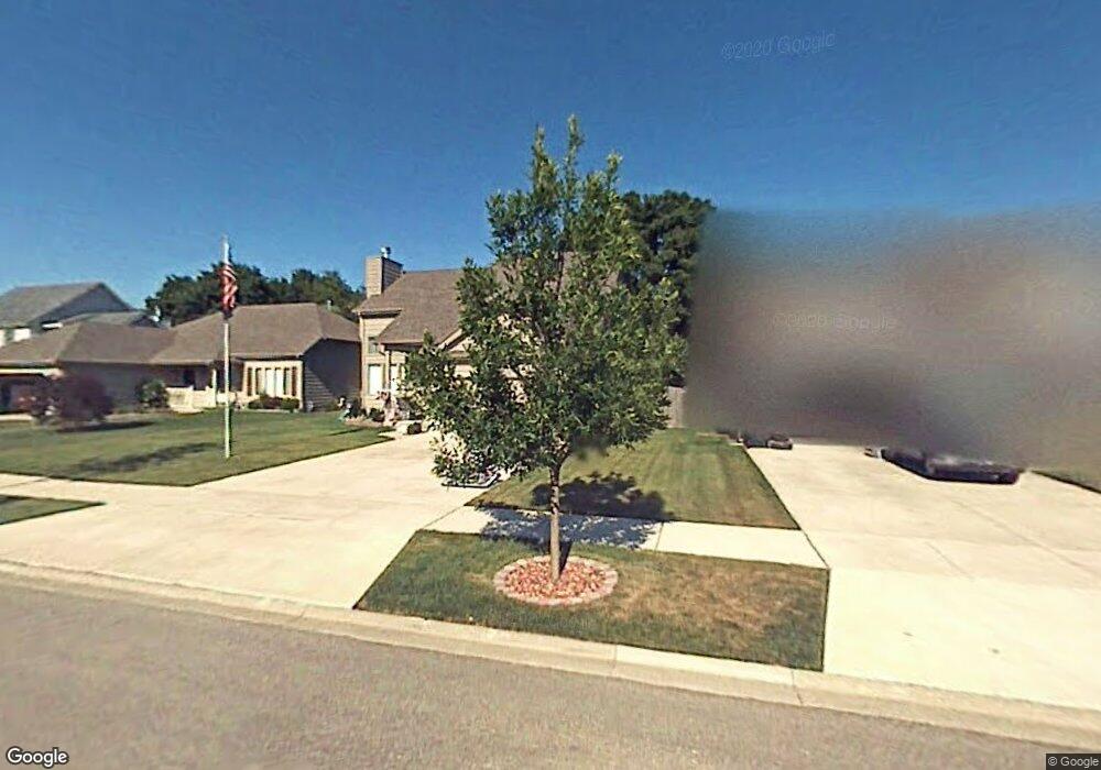
This home is located at 4233 Bertrand Ln, Zion, IL 60099 and is currently estimated at $326,407, approximately $218 per square foot. 4233 Bertrand Ln is a home located in Lake County with nearby schools including Oak Crest School, Beach Park Middle School, and Zion-Benton Township High School.
Ownership History
Date
Name
Owned For
Owner Type
Purchase Details
Closed on
Sep 24, 2003
Sold by
Larson Alvar
Bought by
Burga Thomas D and Burga Dreama J
Current Estimated Value
Home Financials for this Owner
Home Financials are based on the most recent Mortgage that was taken out on this home.
Original Mortgage
$100,000
Interest Rate
5.81%
Mortgage Type
Purchase Money Mortgage
Create a Home Valuation Report for This Property
The Home Valuation Report is an in-depth analysis detailing your home's value as well as a comparison with similar homes in the area
Home Values in the Area
Average Home Value in this Area
Purchase History
| Date | Buyer | Sale Price | Title Company |
|---|---|---|---|
| Burga Thomas D | $184,500 | First American Title Insuran |
Source: Public Records
Mortgage History
| Date | Status | Borrower | Loan Amount |
|---|---|---|---|
| Previous Owner | Burga Thomas D | $100,000 |
Source: Public Records
Tax History Compared to Growth
Tax History
| Year | Tax Paid | Tax Assessment Tax Assessment Total Assessment is a certain percentage of the fair market value that is determined by local assessors to be the total taxable value of land and additions on the property. | Land | Improvement |
|---|---|---|---|---|
| 2024 | -- | $78,562 | $5,703 | $72,859 |
| 2023 | -- | $68,876 | $5,505 | $63,371 |
| 2022 | $0 | $65,847 | $5,378 | $60,469 |
| 2021 | $0 | $64,172 | $5,241 | $58,931 |
| 2020 | $0 | $61,238 | $5,001 | $56,237 |
| 2019 | $0 | $58,101 | $4,745 | $53,356 |
| 2018 | $0 | $51,650 | $5,656 | $45,994 |
| 2017 | $0 | $48,589 | $5,321 | $43,268 |
| 2016 | $0 | $46,258 | $5,066 | $41,192 |
| 2015 | $0 | $42,423 | $4,646 | $37,777 |
| 2014 | $5,492 | $47,689 | $12,480 | $35,209 |
| 2012 | $7,169 | $49,557 | $12,969 | $36,588 |
Source: Public Records
Map
Nearby Homes
- 10765 W Liberty Ave
- 1121 Otto Graham Ln
- 3931 Bertrand Ln
- 11345 W Carnahan Ave
- 11382 W Leland Ave
- 38571 N Cedar Ave
- 3225 Gilead Ave
- 3224 Gilboa Ave
- 2614 33rd St
- 11342-11346 W Wadsworth Rd
- 3221 Gideon Ave
- 38683 N Lewis Ave
- 3101 Gilboa Ave
- 39161 N Holdridge Ave
- 1667 W Beach Rd Unit 1667
- 1730 W Beach Rd
- 1677 W Beach Rd Unit 1677
- 10205 W Ames Ave
- 10295 W Crissy Ave
- 10133 W Wadsworth Rd
- 4229 Bertrand Ln
- 4237 Bertrand Ln
- 4301 Bertrand Ln
- 4225 Bertrand Ln
- 1121 Gladys Ct
- 4221 Bertrand Ln
- 4305 Bertrand Ln
- 1122 Browne Ct
- 4217 Bertrand Ln
- 1125 Gladys Ct
- 1126 Browne Ct
- 10923 W Wadsworth Rd
- 4318 Bertrand Ln
- 4309 Bertrand Ln
- 4213 Bertrand Ln
- 4313 Bertrand Ln
- 1129 Gladys Ct
- 10901 W Wadsworth Rd
- 1133 Gladys Ct
- 1128 Gladys Ct