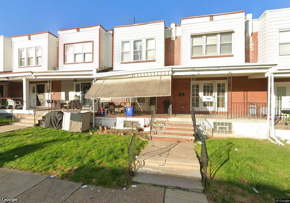
4233 Frost St Philadelphia, PA 19136
Holmesburg NeighborhoodEstimated Value: $189,000 - $243,000
3
Beds
1
Bath
1,152
Sq Ft
$184/Sq Ft
Est. Value
About This Home
This home is located at 4233 Frost St, Philadelphia, PA 19136 and is currently estimated at $211,410, approximately $183 per square foot. 4233 Frost St is a home located in Philadelphia County with nearby schools including Lincoln High School, Joseph H. Brown School, and Meehan Austin Middle School.
Ownership History
Date
Name
Owned For
Owner Type
Purchase Details
Closed on
Nov 23, 2004
Sold by
Osterman Thomas L and Osterman Elaine W
Bought by
Reyes Hugo and Reyes Donna
Current Estimated Value
Home Financials for this Owner
Home Financials are based on the most recent Mortgage that was taken out on this home.
Original Mortgage
$63,002
Interest Rate
5.67%
Mortgage Type
FHA
Create a Home Valuation Report for This Property
The Home Valuation Report is an in-depth analysis detailing your home's value as well as a comparison with similar homes in the area
Home Values in the Area
Average Home Value in this Area
Purchase History
| Date | Buyer | Sale Price | Title Company |
|---|---|---|---|
| Reyes Hugo | $63,500 | -- |
Source: Public Records
Mortgage History
| Date | Status | Borrower | Loan Amount |
|---|---|---|---|
| Previous Owner | Reyes Hugo | $63,002 |
Source: Public Records
Tax History Compared to Growth
Tax History
| Year | Tax Paid | Tax Assessment Tax Assessment Total Assessment is a certain percentage of the fair market value that is determined by local assessors to be the total taxable value of land and additions on the property. | Land | Improvement |
|---|---|---|---|---|
| 2025 | $2,061 | $187,700 | $37,540 | $150,160 |
| 2024 | $2,061 | $187,700 | $37,540 | $150,160 |
| 2023 | $2,061 | $147,200 | $29,440 | $117,760 |
| 2022 | $1,124 | $102,200 | $29,440 | $72,760 |
| 2021 | $1,754 | $0 | $0 | $0 |
| 2020 | $1,754 | $0 | $0 | $0 |
| 2019 | $1,698 | $0 | $0 | $0 |
| 2018 | $1,580 | $0 | $0 | $0 |
| 2017 | $1,580 | $0 | $0 | $0 |
| 2016 | $1,160 | $0 | $0 | $0 |
| 2015 | $1,111 | $0 | $0 | $0 |
| 2014 | -- | $112,900 | $15,012 | $97,888 |
| 2012 | -- | $12,032 | $1,075 | $10,957 |
Source: Public Records
Map
Nearby Homes
- 4228 Rhawn St
- 4312 Rhawn St
- 8053 Charles St
- 4314 Rhawn St
- 4016 Decatur St
- 8072 Erdrick St
- 4014 Lansing St
- 4128 Welsh Rd
- 8030 00 Ditman St Unit 111T
- 8030 00 Ditman St Unit 82N
- 3615 Hartel Ave
- 8030 Ditman St Unit 138X
- 8030 Ditman St Unit 88P
- 8030 Ditman St Unit 134X
- 8048 Frankford Ave
- 4243 Mill St
- 4415 Mcmenamy St
- 4317 Sheffield Ave
- 4313 Sheffield Ave
- 3520 Ashville St