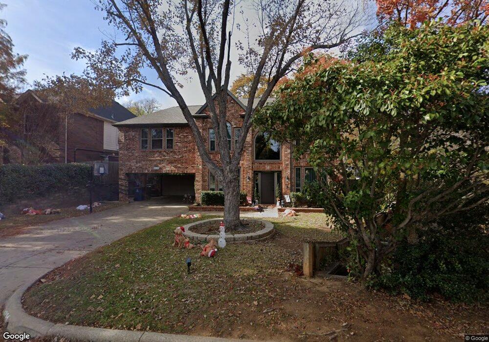
4234 Hearthside Dr Grapevine, TX 76051
Estimated Value: $687,000 - $704,274
4
Beds
2
Baths
2,957
Sq Ft
$236/Sq Ft
Est. Value
About This Home
This home is located at 4234 Hearthside Dr, Grapevine, TX 76051 and is currently estimated at $696,569, approximately $235 per square foot. 4234 Hearthside Dr is a home located in Tarrant County with nearby schools including O.C. Taylor Elementary School, Colleyville Middle School, and Holy Trinity Catholic School.
Ownership History
Date
Name
Owned For
Owner Type
Purchase Details
Closed on
Jun 12, 2000
Sold by
Sullivan Peter and Sullivan Jacqueline J
Bought by
Prudential Residential Svcs Ltd Prtnrshp
Current Estimated Value
Purchase Details
Closed on
Jun 7, 2000
Sold by
Prudential Residential Svcs Ltd Prtnrshp
Bought by
Reynolds Mark R and Reynolds Susan E
Purchase Details
Closed on
Jul 10, 1995
Sold by
Sampson James R and Sampson James L
Bought by
Sullivan Peter and Sullivan Jacqueline J
Create a Home Valuation Report for This Property
The Home Valuation Report is an in-depth analysis detailing your home's value as well as a comparison with similar homes in the area
Home Values in the Area
Average Home Value in this Area
Purchase History
| Date | Buyer | Sale Price | Title Company |
|---|---|---|---|
| Prudential Residential Svcs Ltd Prtnrshp | -- | First American Title Co | |
| Reynolds Mark R | -- | First American Title Co | |
| Sullivan Peter | -- | Chicago Title Ins Co |
Source: Public Records
Tax History
| Year | Tax Paid | Tax Assessment Tax Assessment Total Assessment is a certain percentage of the fair market value that is determined by local assessors to be the total taxable value of land and additions on the property. | Land | Improvement |
|---|---|---|---|---|
| 2025 | $2,175 | $692,121 | $156,528 | $535,593 |
| 2024 | $2,175 | $692,121 | $156,528 | $535,593 |
| 2023 | $6,779 | $664,184 | $156,528 | $507,656 |
| 2022 | $8,747 | $538,788 | $156,528 | $382,260 |
| 2021 | $8,727 | $401,354 | $68,000 | $333,354 |
| 2020 | $8,775 | $398,952 | $68,000 | $330,952 |
| 2019 | $9,153 | $401,364 | $68,000 | $333,364 |
| 2017 | $8,042 | $381,125 | $65,000 | $316,125 |
| 2016 | $7,311 | $372,152 | $65,000 | $307,152 |
Source: Public Records
Map
Nearby Homes
- 4150 Cedar Dr
- 3446 Spring Willow Dr
- 3229 Birch Ave
- 3218 Mapleridge Dr
- 3104 Birch Ave
- 3712 Bur Oak Dr
- 3920 Kelsey Ct
- 3904 Wagon Wheel Dr
- 2404 Arbor Gate Ln
- 5809 N Ballantrae Dr
- 3403 Crossgate Cir S
- 5064 Copperglen Cir
- 3509 Hightimber Dr
- 4019 Whitby Ln
- 4300 Eaton Cir
- 5508 Montclair Dr
- 3216 Glade Rd
- 3502 Fieldwood St
- 4816 Bill Simmons Rd
- 4420 Lafite Ln
- 4230 Hearthside Dr
- 4238 Hearthside Dr
- 3369 Burninglog Dr
- 4242 Hearthside Dr
- 4226 Hearthside Dr
- 4239 Hearthside Dr
- 3365 Burninglog Dr
- 4246 Hearthside Dr
- 2909 Cottonwood Ln
- 4222 Hearthside Dr
- 3372 Burninglog Dr
- 3361 Burninglog Dr
- 4290 Hearthside Dr
- 3368 Burninglog Dr
- 4286 Hearthside Dr
- 2908 Cottonwood Ln
- 4250 Hearthside Dr
- 3364 Burninglog Dr
- 3357 Burninglog Dr
- 4218 Hearthside Dr
Your Personal Tour Guide
Ask me questions while you tour the home.