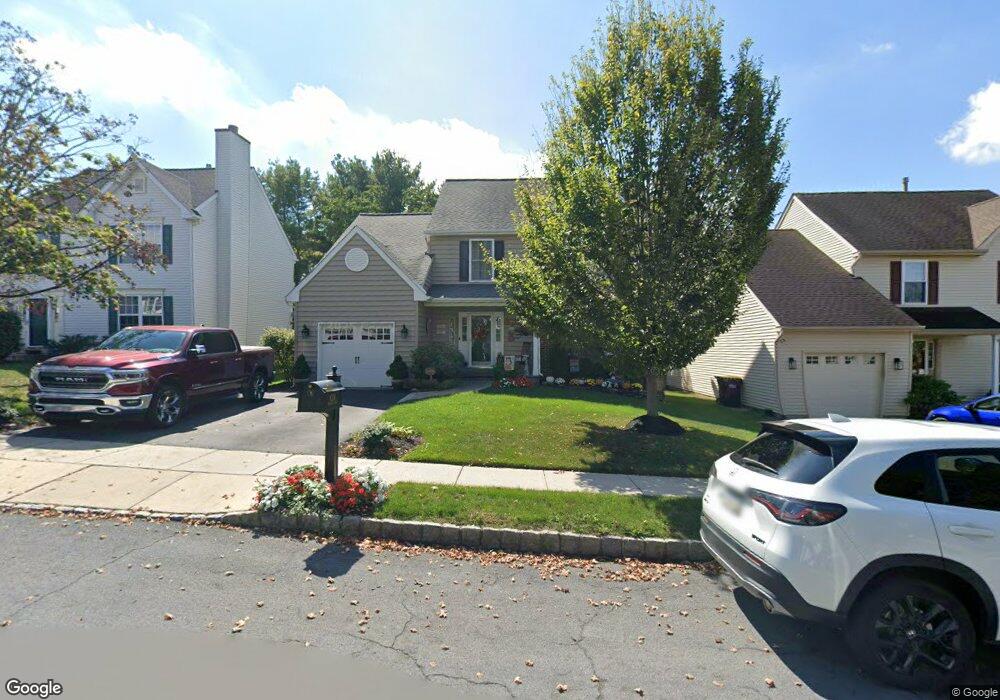
4234 Milords Ln Doylestown, PA 18902
Estimated Value: $613,296 - $682,000
4
Beds
3
Baths
1,742
Sq Ft
$370/Sq Ft
Est. Value
About This Home
This home is located at 4234 Milords Ln, Doylestown, PA 18902 and is currently estimated at $645,324, approximately $370 per square foot. 4234 Milords Ln is a home located in Bucks County with nearby schools including Cold Spring Elementary School, Holicong Middle School, and Central Bucks High School - East.
Ownership History
Date
Name
Owned For
Owner Type
Purchase Details
Closed on
Dec 7, 1995
Sold by
Westrum Buckingham Square Ltd Prtnrshp
Bought by
Silcox Eric P and Silcox Samantha I
Current Estimated Value
Home Financials for this Owner
Home Financials are based on the most recent Mortgage that was taken out on this home.
Original Mortgage
$115,000
Outstanding Balance
$2,305
Interest Rate
7.16%
Estimated Equity
$643,019
Create a Home Valuation Report for This Property
The Home Valuation Report is an in-depth analysis detailing your home's value as well as a comparison with similar homes in the area
Home Values in the Area
Average Home Value in this Area
Purchase History
| Date | Buyer | Sale Price | Title Company |
|---|---|---|---|
| Silcox Eric P | $168,390 | -- |
Source: Public Records
Mortgage History
| Date | Status | Borrower | Loan Amount |
|---|---|---|---|
| Open | Silcox Eric P | $115,000 |
Source: Public Records
Tax History Compared to Growth
Tax History
| Year | Tax Paid | Tax Assessment Tax Assessment Total Assessment is a certain percentage of the fair market value that is determined by local assessors to be the total taxable value of land and additions on the property. | Land | Improvement |
|---|---|---|---|---|
| 2025 | $5,483 | $33,680 | $5,800 | $27,880 |
| 2024 | $5,483 | $33,680 | $5,800 | $27,880 |
| 2023 | $5,298 | $33,680 | $5,800 | $27,880 |
| 2022 | $5,234 | $33,680 | $5,800 | $27,880 |
| 2021 | $5,172 | $33,680 | $5,800 | $27,880 |
| 2020 | $5,172 | $33,680 | $5,800 | $27,880 |
| 2019 | $5,138 | $33,680 | $5,800 | $27,880 |
| 2018 | $5,138 | $33,680 | $5,800 | $27,880 |
| 2017 | $5,096 | $33,680 | $5,800 | $27,880 |
| 2016 | $5,146 | $33,680 | $5,800 | $27,880 |
| 2015 | -- | $33,680 | $5,800 | $27,880 |
| 2014 | -- | $33,680 | $5,800 | $27,880 |
Source: Public Records
Map
Nearby Homes
- 4190 Milords Ln
- 4201 Sir Andrew Cir
- 4542 Deep Creek Way
- 4605 Twinbrook Cir
- 3865 Burnt House Hill Rd
- 4925 Redfield Rd
- 4936 Davis Dr
- 4221 Enders Way
- 4250 Aly Dr
- 3689 Hancock Ln
- 3555 Northview Ln
- 3975 Amberton Ct
- 4080 Holly Way
- 5063 Sagewood Ct
- 4964 Point Pleasant Pike
- 4306 Kleinot Dr
- 4298 Kleinot Dr
- 4330 Kleinot Dr
- 4246 Kleinot Dr
- 4464 Kleinot Dr
- 4226 Milords Ln
- 4240 Milords Ln
- 4246 Milords Ln
- 4220 Milords Ln
- 4254 Milords Ln
- 4212 Milords Ln
- 4239 Milords Ln
- 4231 Milords Ln
- 4245 Milords Ln
- 4225 Milords Ln
- 4206 Milords Ln
- 4260 Milords Ln
- 4217 Milords Ln
- 4257 Milords Ln
- 4224 Sir Andrew Cir
- 4268 Milords Ln
- 4201 Milords Ln
- 4197 Milords Ln
- 4267 Milords Ln
- 4208 Jester Ln