4234 Nesbit Rd Monroe, NC 28112
Estimated Value: $677,000 - $739,000
3
Beds
3
Baths
2,500
Sq Ft
$280/Sq Ft
Est. Value
About This Home
This home is located at 4234 Nesbit Rd, Monroe, NC 28112 and is currently estimated at $701,027, approximately $280 per square foot. 4234 Nesbit Rd is a home located in Union County with nearby schools including Western Union Elementary School, Parkwood Middle School, and Parkwood High School.
Ownership History
Date
Name
Owned For
Owner Type
Purchase Details
Closed on
Apr 7, 2017
Sold by
Mccall Kriesche Donald Wayne and Mccall Kriesche Melanie
Bought by
Queen Judy V
Current Estimated Value
Home Financials for this Owner
Home Financials are based on the most recent Mortgage that was taken out on this home.
Original Mortgage
$300,000
Outstanding Balance
$248,109
Interest Rate
4.16%
Mortgage Type
New Conventional
Estimated Equity
$452,918
Purchase Details
Closed on
Nov 13, 1997
Sold by
Brown Melanie Mccall
Bought by
Kriesche Donald Wayne and Wife Melani
Create a Home Valuation Report for This Property
The Home Valuation Report is an in-depth analysis detailing your home's value as well as a comparison with similar homes in the area
Purchase History
| Date | Buyer | Sale Price | Title Company |
|---|---|---|---|
| Queen Judy V | $375,000 | None Available | |
| Beverly B Mccall Family Limited Partners | -- | None Available | |
| Kriesche Donald Wayne | -- | -- |
Source: Public Records
Mortgage History
| Date | Status | Borrower | Loan Amount |
|---|---|---|---|
| Open | Queen Judy V | $300,000 |
Source: Public Records
Tax History
| Year | Tax Paid | Tax Assessment Tax Assessment Total Assessment is a certain percentage of the fair market value that is determined by local assessors to be the total taxable value of land and additions on the property. | Land | Improvement |
|---|---|---|---|---|
| 2025 | $3,491 | $724,900 | $0 | $0 |
| 2024 | $2,696 | $419,200 | $103,700 | $315,500 |
| 2023 | $2,659 | $419,200 | $103,700 | $315,500 |
| 2022 | $2,659 | $419,200 | $103,700 | $315,500 |
| 2021 | $2,642 | $419,200 | $103,700 | $315,500 |
| 2020 | $2,098 | $272,100 | $74,100 | $198,000 |
| 2019 | $2,139 | $272,100 | $74,100 | $198,000 |
| 2018 | $0 | $272,100 | $74,100 | $198,000 |
| 2017 | $2,017 | $240,800 | $42,800 | $198,000 |
| 2016 | $1,951 | $240,830 | $42,830 | $198,000 |
| 2015 | $1,984 | $240,830 | $42,830 | $198,000 |
| 2014 | $1,979 | $284,200 | $69,000 | $215,200 |
Source: Public Records
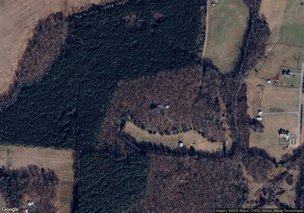
Map
Nearby Homes
- 0 Nesbit Rd Unit CAR4290917
- 110 Serenity Creek Dr
- 106 Serenity Creek Dr
- 4607 Nesbit Rd
- 01 Lancaster Hwy
- 6419 Lancaster Hwy Unit 9, 19
- 6404 Lancaster Hwy
- 5904 Mcwhorter Rd
- 0 Parkwood School Rd
- 4105 Parkwood School Rd
- 7513 Lancaster Hwy Unit 6
- 7517 Lancaster Hwy Unit 5
- 7717 Lancaster Hwy
- 4924 Parkwood School Rd
- 0 Potter Rd S Unit 1 CAR4189512
- 0 Potter Rd S Unit 2
- 0 Potter Rd S Unit 3 CAR4189516
- 0 Potter Rd S Unit CAR4189519
- 0 Potter Rd S Unit CAR4189518
- 219 Barra Dr
- 4228 Nesbit Rd
- 0000 Nesbit Rd
- 4324 Nesbit Rd
- 4402 Nesbit Rd
- 7528 Walnut Crest Dr
- 4302 Nesbit Rd
- 5808 Mcwhorter Rd
- 4404 Nesbit Rd
- 4203 Nesbit Rd
- 4925 Dwight Starnes Rd
- 4925 Dwight Starnes Rd Unit 6
- 0 Nesbit Rd Unit 2112005
- 0 Nesbit Rd Unit 3003032
- 7521 Walnut Crest Dr
- 4924 Dwight Starnes Rd Unit 1
- 5001 Dwight Starnes Rd Unit 3
- 7513 Walnut Crest Dr
- 4202 Nesbit Rd
- 5003 Dwight Starnes Rd
- 5004 Dwight Starnes Rd
Your Personal Tour Guide
Ask me questions while you tour the home.