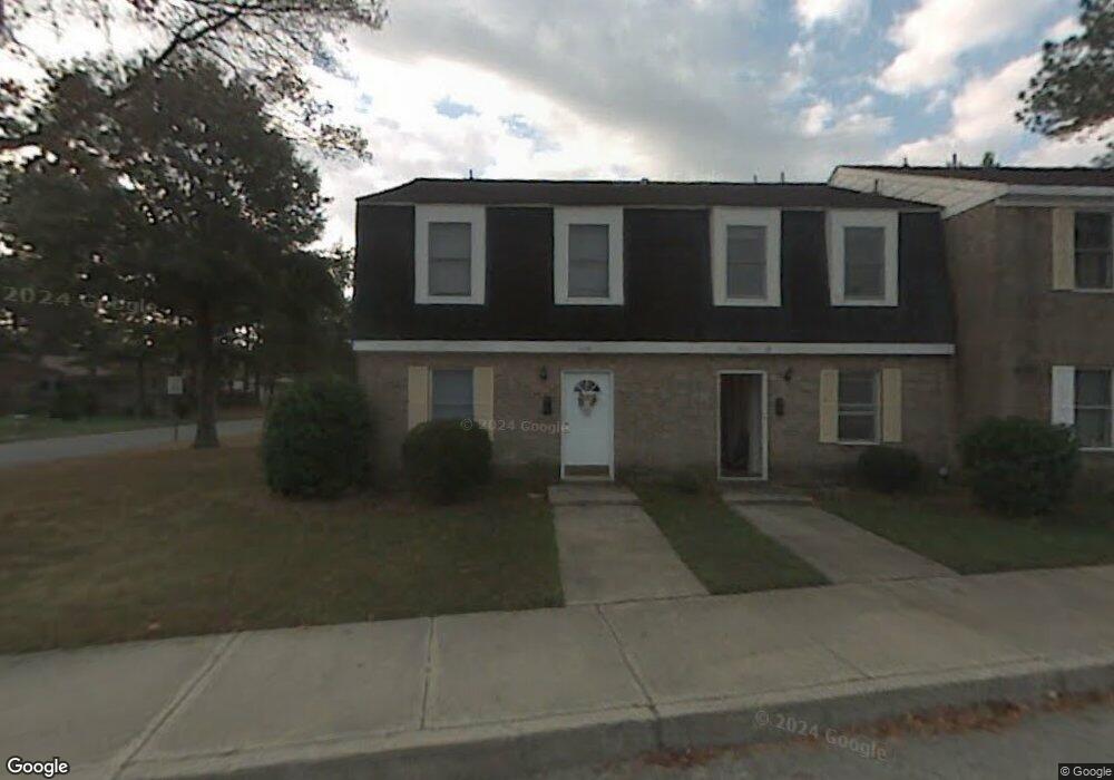
4234 Queenswood Dr Portsmouth, VA 23703
Churchland NeighborhoodEstimated Value: $7,274,003
--
Bed
--
Bath
60,564
Sq Ft
$120/Sq Ft
Est. Value
About This Home
This home is located at 4234 Queenswood Dr, Portsmouth, VA 23703 and is currently estimated at $7,274,003, approximately $120 per square foot. 4234 Queenswood Dr is a home located in Portsmouth City with nearby schools including Churchland Primary/Intermediate School, Churchland Middle School, and Churchland High School.
Ownership History
Date
Name
Owned For
Owner Type
Purchase Details
Closed on
Dec 15, 2004
Sold by
Alcat Two L L C
Bought by
Kecoughtan Ventures L L C
Current Estimated Value
Home Financials for this Owner
Home Financials are based on the most recent Mortgage that was taken out on this home.
Original Mortgage
$3,200,000
Outstanding Balance
$1,586,254
Interest Rate
5.68%
Mortgage Type
Construction
Estimated Equity
$5,687,749
Create a Home Valuation Report for This Property
The Home Valuation Report is an in-depth analysis detailing your home's value as well as a comparison with similar homes in the area
Home Values in the Area
Average Home Value in this Area
Purchase History
| Date | Buyer | Sale Price | Title Company |
|---|---|---|---|
| Kecoughtan Ventures L L C | $3,380,407 | -- |
Source: Public Records
Mortgage History
| Date | Status | Borrower | Loan Amount |
|---|---|---|---|
| Open | Kecoughtan Ventures L L C | $3,200,000 |
Source: Public Records
Tax History Compared to Growth
Tax History
| Year | Tax Paid | Tax Assessment Tax Assessment Total Assessment is a certain percentage of the fair market value that is determined by local assessors to be the total taxable value of land and additions on the property. | Land | Improvement |
|---|---|---|---|---|
| 2025 | $79,536 | $6,351,360 | $1,152,000 | $5,199,360 |
| 2024 | $79,536 | $6,466,330 | $1,152,000 | $5,314,330 |
| 2023 | $79,368 | $6,349,400 | $1,152,000 | $5,197,400 |
| 2022 | $59,756 | $4,596,600 | $1,575,660 | $3,020,940 |
| 2021 | $55,684 | $4,283,400 | $1,262,460 | $3,020,940 |
| 2020 | $51,870 | $3,990,000 | $1,262,460 | $2,727,540 |
| 2019 | $45,684 | $3,514,140 | $1,053,660 | $2,460,480 |
| 2018 | $44,850 | $3,450,000 | $472,750 | $2,977,250 |
| 2017 | $41,294 | $3,176,423 | $472,750 | $2,703,673 |
| 2016 | $40,484 | $3,114,140 | $472,750 | $2,641,390 |
| 2015 | $35,164 | $2,704,900 | $472,750 | $2,232,150 |
| 2014 | $34,352 | $2,704,900 | $472,750 | $2,232,150 |
Source: Public Records
Map
Nearby Homes
- 4200 Quince Rd
- 5807 Dunkin St
- 4028 Swannanoa Dr
- 4224 Burnham Dr
- 3433 Willow Breeze Dr
- 4100 Mayfair Way
- 4232 Summerset Dr
- 5833 Hawthorne Ln
- 5728 Hawthorne Ln
- 4008 Oakhurst Rd
- 8 Compass Ct
- 3860 Sugar Creek Cir
- 17 Shoal Ct
- 3866 Augustine Cir
- 21 Windy Pines Crescent
- 5606 Gregory Ct
- 5806 Fawkes St
- 4444 Southampton Arch
- 3616 Bowden St
- 3818 Peach Orchard Cir
- 4140 Twin Pines Rd
- 4221 Swannanoa Dr
- 4224 Swannanoa Dr
- 4220 Sunnyfields Rd
- 5823 Branch St
- 4220 Swannanoa Dr
- 4217 Swannanoa Dr
- 5825 Branch St
- 5902 Knightsbridge Way
- 4216 Sunnyfields Rd
- 5821 Branch St
- 5903 Knightsbridge Way
- 4216 Swannanoa Dr
- 5819 Branch St
- 4213 Swannanoa Dr
- 5906 Knightsbridge Way
- 4212 Sunnyfields Rd
- 4136 Twin Pines Rd
- 4221 Sunnyfields Rd
- 5817 Branch St