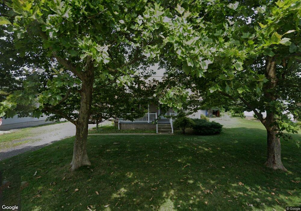
4235 Birchwood Ave Louisville, OH 44641
Estimated Value: $158,000 - $214,000
3
Beds
1
Bath
1,344
Sq Ft
$137/Sq Ft
Est. Value
About This Home
This home is located at 4235 Birchwood Ave, Louisville, OH 44641 and is currently estimated at $184,020, approximately $136 per square foot. 4235 Birchwood Ave is a home located in Stark County with nearby schools including Louisville High School, East Branch Preparatory Academy Wright Preparatory Academy, and Canton Harbor High School.
Ownership History
Date
Name
Owned For
Owner Type
Purchase Details
Closed on
Oct 1, 1996
Sold by
Harlan Dessie M
Bought by
Hester William D
Current Estimated Value
Home Financials for this Owner
Home Financials are based on the most recent Mortgage that was taken out on this home.
Original Mortgage
$36,800
Interest Rate
7.97%
Mortgage Type
New Conventional
Create a Home Valuation Report for This Property
The Home Valuation Report is an in-depth analysis detailing your home's value as well as a comparison with similar homes in the area
Home Values in the Area
Average Home Value in this Area
Purchase History
| Date | Buyer | Sale Price | Title Company |
|---|---|---|---|
| Hester William D | $46,000 | -- |
Source: Public Records
Mortgage History
| Date | Status | Borrower | Loan Amount |
|---|---|---|---|
| Closed | Hester William D | $36,800 |
Source: Public Records
Tax History Compared to Growth
Tax History
| Year | Tax Paid | Tax Assessment Tax Assessment Total Assessment is a certain percentage of the fair market value that is determined by local assessors to be the total taxable value of land and additions on the property. | Land | Improvement |
|---|---|---|---|---|
| 2025 | -- | $48,090 | $12,600 | $35,490 |
| 2024 | -- | $48,090 | $12,600 | $35,490 |
| 2023 | $1,884 | $38,750 | $10,220 | $28,530 |
| 2022 | $1,890 | $38,750 | $10,220 | $28,530 |
| 2021 | $1,895 | $38,750 | $10,220 | $28,530 |
| 2020 | $1,616 | $34,900 | $9,210 | $25,690 |
| 2019 | $1,616 | $34,910 | $9,210 | $25,700 |
| 2018 | $1,618 | $34,910 | $9,210 | $25,700 |
| 2017 | $1,142 | $23,490 | $5,180 | $18,310 |
| 2016 | $1,117 | $23,490 | $5,180 | $18,310 |
| 2015 | $1,120 | $23,490 | $5,180 | $18,310 |
| 2014 | $1,125 | $21,850 | $4,800 | $17,050 |
| 2013 | $566 | $21,850 | $4,800 | $17,050 |
Source: Public Records
Map
Nearby Homes
- 3894 Tulane Ave
- 414 Honeycrisp Dr NE
- 4481 Broadway Ave NE
- 6083 Apple St
- 424 Honeycrisp Dr NE
- 420 Honeycrisp Dr NE
- 2974 Mcintosh Dr NE
- 2969 Mcintosh Dr NE
- 2975 Mcintosh Dr NE
- 2980 Mcintosh Dr NE
- 2981 Mcintosh Dr NE
- 4385 Fruitland Ave
- Goldenrod Plan at Orchard Park - Aspire Single Family Collection
- Forsythia Plan at Orchard Park - Aspire Single Family Collection
- Oleander Plan at Orchard Park - Aspire Single Family Collection
- Water Lily Plan at Orchard Park - Aspire Single Family Collection
- Beckfield Plan at Orchard Park - Aspire Townhome Collection
- 4060 Hambleton Ave NE
- 4465 Eastland Ave NE
- 248 Menegay Rd
- 4225 Birchwood Ave
- 4240 Addison Ave
- 4215 Birchwood Ave
- 4234 Birchwood Ave
- 4214 Addison Ave
- 4265 Birchwood Ave
- 4201 Birchwood Ave
- 4210 Birchwood Ave
- 4253 Chester Ave
- 4202 Addison Ave
- 4202 Addison Ave NE
- 4280 Birchwood Ave
- 4285 Birchwood Ave
- 4241 Chester Ave
- 4217 Chester Ave
- 4175 Birchwood Ave
- 4221 Addison Ave
- 4197 Chester Ave
- 4180 Birchwood Ave
- 4307 Birchwood Ave