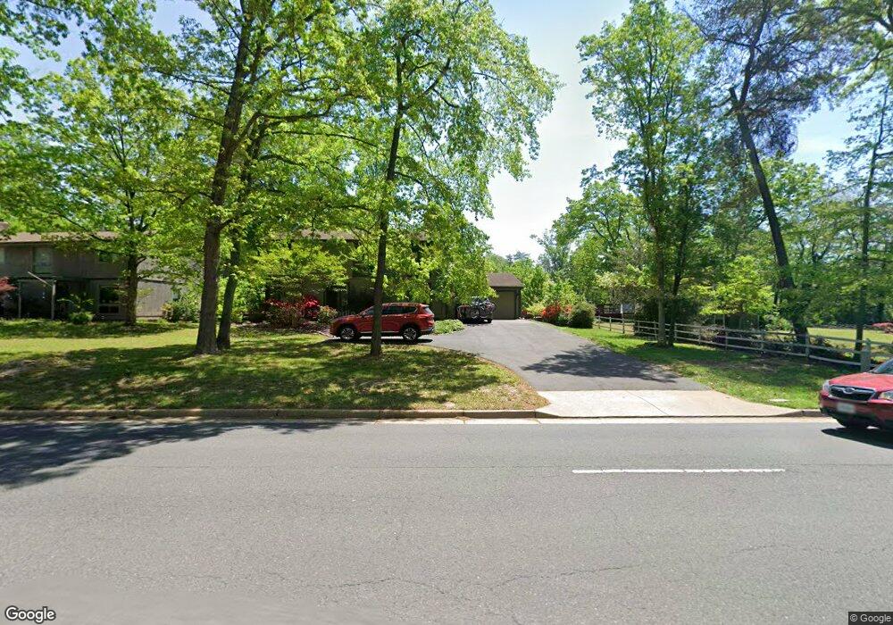
4235 Guinea Rd Annandale, VA 22003
Estimated Value: $814,000 - $881,000
4
Beds
3
Baths
--
Sq Ft
0.46
Acres
About This Home
This home is located at 4235 Guinea Rd, Annandale, VA 22003 and is currently estimated at $846,376. 4235 Guinea Rd is a home located in Fairfax County with nearby schools including Wakefield Forest Elementary School, Frost Middle School, and W. T. Woodson High School.
Ownership History
Date
Name
Owned For
Owner Type
Purchase Details
Closed on
Feb 23, 2022
Sold by
Kellett Richard N
Bought by
Kellett Richard N and Kellett Kyung Hoon
Current Estimated Value
Purchase Details
Closed on
Jul 29, 2003
Sold by
Williams Mary J
Bought by
Dennison Robert E
Home Financials for this Owner
Home Financials are based on the most recent Mortgage that was taken out on this home.
Original Mortgage
$314,800
Interest Rate
5.27%
Mortgage Type
New Conventional
Create a Home Valuation Report for This Property
The Home Valuation Report is an in-depth analysis detailing your home's value as well as a comparison with similar homes in the area
Home Values in the Area
Average Home Value in this Area
Purchase History
| Date | Buyer | Sale Price | Title Company |
|---|---|---|---|
| Kellett Richard N | -- | None Listed On Document | |
| Dennison Robert E | $393,500 | -- |
Source: Public Records
Mortgage History
| Date | Status | Borrower | Loan Amount |
|---|---|---|---|
| Previous Owner | Dennison Robert E | $314,800 |
Source: Public Records
Tax History Compared to Growth
Tax History
| Year | Tax Paid | Tax Assessment Tax Assessment Total Assessment is a certain percentage of the fair market value that is determined by local assessors to be the total taxable value of land and additions on the property. | Land | Improvement |
|---|---|---|---|---|
| 2025 | $8,340 | $781,440 | $284,000 | $497,440 |
| 2024 | $8,340 | $719,910 | $252,000 | $467,910 |
| 2023 | $8,229 | $729,160 | $252,000 | $477,160 |
| 2022 | $8,078 | $706,440 | $234,000 | $472,440 |
| 2021 | $7,188 | $612,490 | $198,000 | $414,490 |
| 2020 | $6,876 | $581,030 | $190,000 | $391,030 |
| 2019 | $6,876 | $581,030 | $190,000 | $391,030 |
| 2018 | $6,456 | $545,480 | $190,000 | $355,480 |
| 2017 | $6,333 | $545,480 | $190,000 | $355,480 |
| 2016 | $6,746 | $582,290 | $212,000 | $370,290 |
| 2015 | $6,302 | $564,660 | $212,000 | $352,660 |
| 2014 | $5,819 | $522,590 | $193,000 | $329,590 |
Source: Public Records
Map
Nearby Homes
- 4353 Starr Jordan Dr
- 9017 Ellenwood Ln
- 4314 Selkirk Dr
- 4512 Sleaford Rd
- 4024 Iva Ln
- 8920 Walker St
- 9117 Hunting Pines Place
- 4301 Braeburn Dr
- 9207 Hunting Pines Place
- 4504 Wakefield Dr
- 4222 Braeburn Dr
- 9308 Ashmeade Dr
- 4721 Springbrook Dr
- 8510 Ordinary Way
- 4903 King David Blvd
- 8454 Toll House Rd
- 8502 Woodbine Ln
- 5009 King David Blvd
- 3680 Persimmon Cir
- 3769 Persimmon Cir
- 4233 Guinea Rd
- 8928 Burbank Rd
- 4231 Guinea Rd
- 4332 Starr Jordan Dr
- 8924 Burbank Rd
- 9019 Ashmeade Dr
- 4328 Starr Jordan Dr
- 4229 Guinea Rd
- 8927 Burbank Rd
- 9021 Ashmeade Dr
- 8925 Burbank Rd
- 4324 Starr Jordan Dr
- 4227 Guinea Rd
- 9023 Ashmeade Dr
- 4300 Guinea Rd
- 9018 Ashmeade Dr
- 4305 Guinea Rd
- 9020 Ashmeade Dr
- 8920 Burbank Rd
- 4320 Starr Jordan Dr