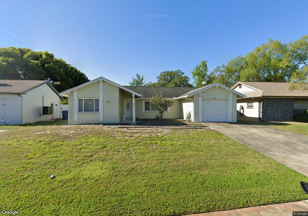
4236 Sail Dr New Port Richey, FL 34652
Estimated Value: $225,000 - $291,000
3
Beds
2
Baths
1,564
Sq Ft
$156/Sq Ft
Est. Value
About This Home
This home is located at 4236 Sail Dr, New Port Richey, FL 34652 and is currently estimated at $244,180, approximately $156 per square foot. 4236 Sail Dr is a home located in Pasco County with nearby schools including Mittye P. Locke Elementary School, Gulf Trace Elementary School, and Paul R. Smith Middle School.
Ownership History
Date
Name
Owned For
Owner Type
Purchase Details
Closed on
Jun 6, 2025
Sold by
Mossel Zoi
Bought by
Kasaras Christopher C
Current Estimated Value
Purchase Details
Closed on
Apr 24, 2025
Sold by
Mossel Zoi
Bought by
Mossel Zoi and Rouselis Stefanos Spiliotis
Purchase Details
Closed on
Aug 31, 1998
Sold by
Turner Roy W and Turner Jean M
Bought by
Mossel Peter and Mossel Zoi
Home Financials for this Owner
Home Financials are based on the most recent Mortgage that was taken out on this home.
Original Mortgage
$30,000
Interest Rate
6.92%
Mortgage Type
New Conventional
Create a Home Valuation Report for This Property
The Home Valuation Report is an in-depth analysis detailing your home's value as well as a comparison with similar homes in the area
Home Values in the Area
Average Home Value in this Area
Purchase History
| Date | Buyer | Sale Price | Title Company |
|---|---|---|---|
| Kasaras Christopher C | $100 | None Listed On Document | |
| Mossel Zoi | $100 | None Listed On Document | |
| Mossel Zoi | $100 | None Listed On Document | |
| Mossel Peter | $59,000 | -- |
Source: Public Records
Mortgage History
| Date | Status | Borrower | Loan Amount |
|---|---|---|---|
| Previous Owner | Mossel Peter | $14,500 | |
| Previous Owner | Mossel Peter | $30,000 |
Source: Public Records
Tax History Compared to Growth
Tax History
| Year | Tax Paid | Tax Assessment Tax Assessment Total Assessment is a certain percentage of the fair market value that is determined by local assessors to be the total taxable value of land and additions on the property. | Land | Improvement |
|---|---|---|---|---|
| 2025 | $233 | $137,100 | -- | -- |
| 2024 | $233 | $133,240 | -- | -- |
| 2023 | $226 | $129,360 | $0 | $0 |
| 2022 | $215 | $125,600 | $0 | $0 |
| 2021 | $208 | $121,950 | $13,700 | $108,250 |
| 2020 | $201 | $120,275 | $12,467 | $107,808 |
| 2019 | $202 | $119,682 | $12,467 | $107,215 |
| 2018 | $195 | $105,615 | $12,467 | $93,148 |
| 2017 | $195 | $75,852 | $8,567 | $67,285 |
| 2016 | $154 | $60,902 | $8,567 | $52,335 |
| 2015 | $154 | $52,552 | $8,567 | $43,985 |
| 2014 | $144 | $50,576 | $8,567 | $42,009 |
Source: Public Records
Map
Nearby Homes
- 4245 Crestfield Ave
- 3845 Edgemont Dr
- 3902 Glissade Dr
- 4142 Crestfield Ave
- 3704 Oakhurst Dr
- 3847 Lighthouse Way
- 4424 Pelorus Dr
- 4423 Pelorus Dr Unit B
- 3862 Lighthouse Way
- 4243 Stratfield Dr
- 4209 Stratfield Dr
- 4025 Sail Dr
- 3709 Kimberly Oaks Dr
- 3832 Lanyard Ct
- 3838 Lanyard Ct Unit B
- 4202 Craftsbury Dr
- 4446 Chart Ct
- 4016 Grayton Dr
- 4111 Stratfield Dr
- 3926 Lighthouse Way Unit A
- 4230 Sail Dr
- 4243 Pinefield Ave
- 4235 Pinefield Ave
- 4250 Sail Dr
- 4224 Sail Dr
- 4251 Pinefield Ave
- 4233 Sail Dr
- 4225 Pinefield Ave
- 4300 Sail Dr
- 4251 Sail Dr
- 4216 Sail Dr
- 4219 Pinefield Ave
- 4305 Pinefield Ave
- 4243 Sail Dr
- 4238 Pinefield Ave
- 4213 Pinefield Ave
- 4232 Pinefield Ave
- 4244 Pinefield Ave
- 3739 Pinehurst Dr
- 4208 Sail Dr