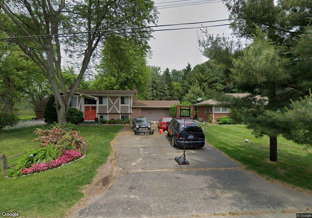
4236 Woodstock Rd Waterford, MI 48328
Waterford Township NeighborhoodEstimated Value: $266,259 - $306,000
3
Beds
1
Bath
1,728
Sq Ft
$170/Sq Ft
Est. Value
About This Home
This home is located at 4236 Woodstock Rd, Waterford, MI 48328 and is currently estimated at $293,065, approximately $169 per square foot. 4236 Woodstock Rd is a home located in Oakland County with nearby schools including Riverside Elementary School, Mason Middle School, and Waterford Mott High School.
Ownership History
Date
Name
Owned For
Owner Type
Purchase Details
Closed on
Nov 2, 2004
Sold by
Rainey Rick and Rainey Amanda M
Bought by
Rainey Rick J and Rainey Amanda M
Current Estimated Value
Home Financials for this Owner
Home Financials are based on the most recent Mortgage that was taken out on this home.
Original Mortgage
$147,200
Outstanding Balance
$73,653
Interest Rate
5.82%
Mortgage Type
New Conventional
Estimated Equity
$219,412
Purchase Details
Closed on
Apr 21, 2003
Sold by
Rainey Scott L
Bought by
Rainey Scott L and Rainey Rick
Create a Home Valuation Report for This Property
The Home Valuation Report is an in-depth analysis detailing your home's value as well as a comparison with similar homes in the area
Home Values in the Area
Average Home Value in this Area
Purchase History
| Date | Buyer | Sale Price | Title Company |
|---|---|---|---|
| Rainey Rick J | -- | American Title Company Of Li | |
| Rainey Scott L | -- | Metropolitan Title Company | |
| Rainey Scott L | $182,000 | Metropolitan Title Company |
Source: Public Records
Mortgage History
| Date | Status | Borrower | Loan Amount |
|---|---|---|---|
| Open | Rainey Rick J | $147,200 |
Source: Public Records
Tax History Compared to Growth
Tax History
| Year | Tax Paid | Tax Assessment Tax Assessment Total Assessment is a certain percentage of the fair market value that is determined by local assessors to be the total taxable value of land and additions on the property. | Land | Improvement |
|---|---|---|---|---|
| 2024 | $1,029 | $106,290 | $0 | $0 |
| 2023 | $981 | $91,330 | $0 | $0 |
| 2022 | $1,621 | $85,560 | $0 | $0 |
| 2021 | $1,536 | $87,450 | $0 | $0 |
| 2020 | $899 | $76,270 | $0 | $0 |
| 2019 | $1,500 | $70,830 | $0 | $0 |
| 2018 | $1,489 | $65,800 | $0 | $0 |
| 2017 | $1,372 | $65,800 | $0 | $0 |
| 2016 | $1,377 | $59,160 | $0 | $0 |
| 2015 | -- | $43,010 | $0 | $0 |
| 2014 | -- | $38,790 | $0 | $0 |
| 2011 | -- | $47,210 | $0 | $0 |
Source: Public Records
Map
Nearby Homes
- 257 Madeleine Ln
- 256 Madeleine Ln
- 571 Cristy Ave
- 00 Gilbo Ave
- 4840 Hobson Ave
- 001 Hobson Ave
- 188 N Avery Rd
- 1225 Eason
- 85 Doremus Ave
- 4241 S Shore St
- 4875 Fenmore Ave
- 4882 Elizabeth Lake Rd
- 4935 Pontiac Lake Rd
- 111 Willow Way
- 89 Clive Ave
- 3676 Mark Rd
- 867 Saybrook Dr
- 5184 Denwood St
- 4700 Siebert Rd
- 87 N Roslyn Rd
- 4248 Woodstock Rd
- 4224 Woodstock Rd
- 4216 Woodstock Rd
- 791 Gertrude Rd
- 4264 Woodstock Rd
- 4192 Woodstock Rd
- 4261 Woodstock Rd
- 4280 Woodstock Rd
- 4199 Woodstock Rd
- 761 Gertrude Rd
- 4187 Woodstock Rd
- 4180 Woodstock Rd
- 4283 Woodstock Rd
- 4294 Woodstock Rd
- 4170 Woodstock Rd
- 741 Gertrude Rd
- 4301 Woodstock Rd
- 4163 Woodstock Rd
- VAC Gertrude Rd
- 4152 Woodstock Rd