423697 E 1030 Rd Checotah, OK 74426
Estimated Value: $341,000 - $389,000
4
Beds
2
Baths
2,248
Sq Ft
$164/Sq Ft
Est. Value
About This Home
This home is located at 423697 E 1030 Rd, Checotah, OK 74426 and is currently estimated at $369,028, approximately $164 per square foot. 423697 E 1030 Rd is a home located in McIntosh County with nearby schools including Marshall Elementary School, Checotah Intermediate Elementary School, and Checotah Middle School.
Ownership History
Date
Name
Owned For
Owner Type
Purchase Details
Closed on
Aug 28, 2025
Sold by
Friends Of Honey Springs Battlefield Par
Bought by
Oklahoma Historical Society
Current Estimated Value
Purchase Details
Closed on
May 24, 2022
Sold by
Moua and Xao
Bought by
Jones Edward and Jones Alice
Home Financials for this Owner
Home Financials are based on the most recent Mortgage that was taken out on this home.
Original Mortgage
$235,000
Interest Rate
5.3%
Mortgage Type
New Conventional
Purchase Details
Closed on
Jan 15, 2021
Sold by
Thomas Willliam and Thomas Retta
Bought by
Moua Xao and Moua Mang
Purchase Details
Closed on
Nov 26, 2019
Sold by
Morgan Sandra and Roberts Roy
Bought by
Roberts Roy and Thomas William
Purchase Details
Closed on
Nov 10, 2014
Sold by
Forbes William Leon and Forbes Vi
Bought by
Roberts Roy and Roberts Sandra Mor
Create a Home Valuation Report for This Property
The Home Valuation Report is an in-depth analysis detailing your home's value as well as a comparison with similar homes in the area
Purchase History
| Date | Buyer | Sale Price | Title Company |
|---|---|---|---|
| Oklahoma Historical Society | -- | None Listed On Document | |
| Jones Edward | $325,000 | Apex Title & Closing Service | |
| Moua Xao | $232,000 | Pioneer Abstract & Ttl Co Of | |
| Roberts Roy | -- | None Available | |
| Roberts Roy | $189,000 | -- |
Source: Public Records
Mortgage History
| Date | Status | Borrower | Loan Amount |
|---|---|---|---|
| Previous Owner | Jones Edward | $235,000 |
Source: Public Records
Tax History
| Year | Tax Paid | Tax Assessment Tax Assessment Total Assessment is a certain percentage of the fair market value that is determined by local assessors to be the total taxable value of land and additions on the property. | Land | Improvement |
|---|---|---|---|---|
| 2025 | $3,066 | $35,691 | $4,950 | $30,741 |
| 2024 | $3,379 | $40,219 | $4,950 | $35,269 |
| 2023 | $3,379 | $44,293 | $7,700 | $36,593 |
| 2022 | $2,458 | $28,547 | $4,868 | $23,679 |
| 2021 | $1,670 | $18,598 | $2,200 | $16,398 |
| 2020 | $1,766 | $19,362 | $2,310 | $17,052 |
| 2019 | $1,754 | $19,362 | $2,310 | $17,052 |
| 2018 | $1,742 | $19,361 | $2,310 | $17,051 |
| 2017 | $1,730 | $19,361 | $2,310 | $17,051 |
| 2016 | $1,770 | $19,362 | $2,150 | $17,212 |
| 2015 | $2,021 | $20,947 | $1,733 | $19,214 |
| 2014 | $904 | $10,389 | $877 | $9,512 |
Source: Public Records
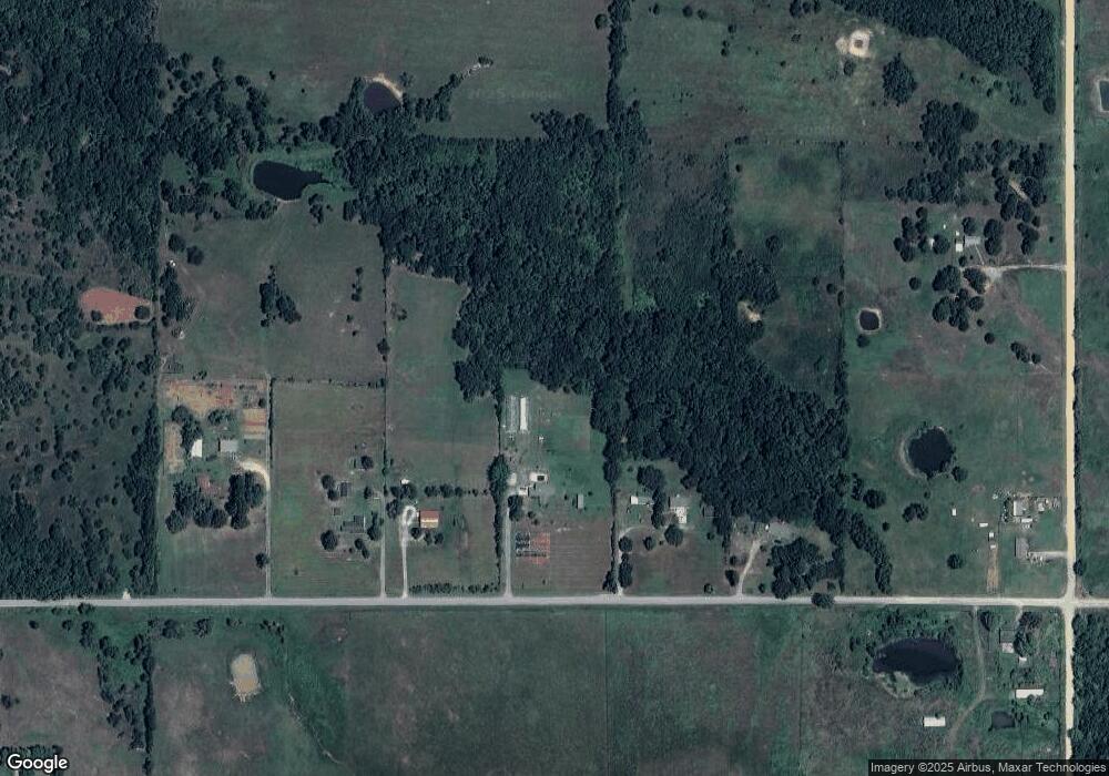
Map
Nearby Homes
- 423334 E 1020 Rd
- 0 County Rd Unit 2525151
- 422773 A St
- 0 S Mcintosh St Unit 2609991
- 423972 E 1060 Rd
- 0 S 4270 Rd
- 0 E 1050 Rd
- 13285 Oktaha Rd
- 7867 W 128th St S
- 0 N 4270 Rd Unit 2606982
- 106692 S 4230 Rd
- 7605 W 123rd St S
- 424398 Texanna Rd
- 001 Cemetery Rd
- 0 Hwy 266 Hwy Unit 2609416
- 0 Hwy 266 Rd Unit 2543839
- 0 Hwy 266 Hwy Unit 2609102
- 604 N Oak St
- 802 E Knisley Ave
- 737 NW 4th St
- 423697 E 1030 Rd
- 423637 E 1030 Rd
- 423623 E 1030 Rd
- 1 Gertrude Ave
- 0 E Gertrude Rd Unit 1927289
- 423972 E 1030 Rd
- 423972 E 1030 Rd
- 102616 S 4240 Rd
- 423230 E 1030 Rd
- 423084 E 1030 Rd
- 103578 S 4240 Rd
- 103578 S 4240 Rd
- 422909 John Hope Franklin Blvd
- 424136 E 1020 Rd
- 422865 John Hope Franklin Blvd
- 424522 E 1030 Rd
- 104123 S 4230 Rd
- 102490 S 4230 Rd
- 422791 A St
- 102780 S 4245 Rd
Your Personal Tour Guide
Ask me questions while you tour the home.