4237 Ben Dail Rd La Grange, NC 28551
Estimated Value: $85,709 - $338,000
2
Beds
1
Bath
720
Sq Ft
$250/Sq Ft
Est. Value
About This Home
This home is located at 4237 Ben Dail Rd, La Grange, NC 28551 and is currently estimated at $179,927, approximately $249 per square foot. 4237 Ben Dail Rd is a home located in Lenoir County with nearby schools including La Grange Elementary School, E.B. Frink Middle School, and North Lenoir High School.
Ownership History
Date
Name
Owned For
Owner Type
Purchase Details
Closed on
May 2, 2013
Sold by
Sutton Donald R and Sutton Edith E
Bought by
Pittman Barbara W
Current Estimated Value
Purchase Details
Closed on
Mar 7, 2007
Sold by
Hinson Bill G and Hinson Shirley S
Bought by
Sutton Donald R and Sutton Edith E
Home Financials for this Owner
Home Financials are based on the most recent Mortgage that was taken out on this home.
Original Mortgage
$24,000
Interest Rate
6.22%
Mortgage Type
Unknown
Create a Home Valuation Report for This Property
The Home Valuation Report is an in-depth analysis detailing your home's value as well as a comparison with similar homes in the area
Home Values in the Area
Average Home Value in this Area
Purchase History
| Date | Buyer | Sale Price | Title Company |
|---|---|---|---|
| Pittman Barbara W | $30,000 | None Available | |
| Sutton Donald R | $30,000 | None Available |
Source: Public Records
Mortgage History
| Date | Status | Borrower | Loan Amount |
|---|---|---|---|
| Previous Owner | Sutton Donald R | $24,000 |
Source: Public Records
Tax History Compared to Growth
Tax History
| Year | Tax Paid | Tax Assessment Tax Assessment Total Assessment is a certain percentage of the fair market value that is determined by local assessors to be the total taxable value of land and additions on the property. | Land | Improvement |
|---|---|---|---|---|
| 2025 | $680 | $81,388 | $23,943 | $57,445 |
| 2024 | $458 | $40,817 | $15,451 | $25,366 |
| 2023 | $458 | $40,817 | $15,451 | $25,366 |
| 2022 | $458 | $40,817 | $15,451 | $25,366 |
| 2021 | $457 | $40,817 | $15,451 | $25,366 |
| 2020 | $457 | $40,817 | $15,451 | $25,366 |
| 2019 | $458 | $40,817 | $15,451 | $25,366 |
| 2018 | $452 | $40,817 | $15,451 | $25,366 |
| 2017 | $448 | $40,817 | $15,451 | $25,366 |
| 2014 | $447 | $41,209 | $15,451 | $25,758 |
| 2013 | -- | $41,209 | $15,451 | $25,758 |
| 2011 | -- | $46,001 | $15,451 | $30,550 |
Source: Public Records
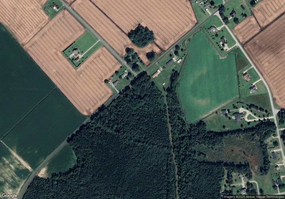
Map
Nearby Homes
- 3803 Huntcliff Dr
- 3766 Huntcliff Dr
- 3725 Huntcliff Dr
- 3740 Huntcliff Dr
- 3730 Huntcliff Dr
- 3696 Drew Farmer Rd
- 3684 Drew Farmer Rd
- 3711 Drew Farmer Rd
- 4310 Colie Rd
- 3821 Lindsey Ln
- 3796 Pecan Grove Cir
- 2526 Moulton Dr
- 2445 Tammy Dr
- 3395 Danfield Dr
- 3379 Danfield Dr
- 3178 Alton Phillips Rd
- 3494 Danfield Dr
- 2321 Fred Everett Rd
- 3216 Dexter Cir
- 3145 Lakewood Dr Unit 3155
- 4271 Ben Dail Rd
- 4280 Ben Dail Rd
- 4266 Ben Dail Rd
- 4101 Colie Rd
- 4331 Ben Dail Rd
- 4150 Colie Rd
- 3830 Drew Farmer Rd
- 3980 Drew Farmer Rd
- 4000 Drew Farmer Rd
- 3932 Drew Farmer Rd
- 4394 Ben Dail Rd
- 3918 Drew Farmer Rd
- 4409 Ben Dail Rd
- 3814 Huntcliff Dr
- 3810 Drew Farmer Rd
- 3800 Huntcliff Dr
- 3792 Drew Farmer Rd
- 3823 Drew Farmer Rd
- 4439 Ben Dail Rd
- 3772 Drew Farmer Rd