Estimated Value: $311,096 - $355,000
3
Beds
2
Baths
1,276
Sq Ft
$258/Sq Ft
Est. Value
About This Home
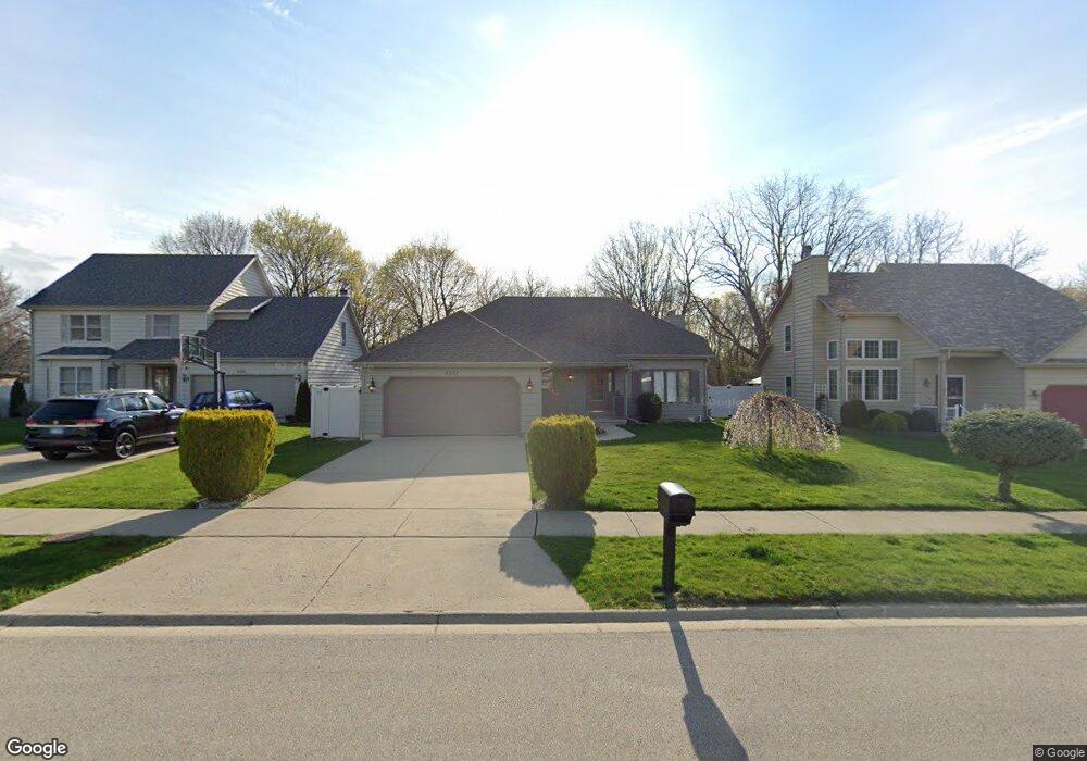
This home is located at 4237 Bertrand Ln, Zion, IL 60099 and is currently estimated at $329,524, approximately $258 per square foot. 4237 Bertrand Ln is a home located in Lake County with nearby schools including Oak Crest School, Beach Park Middle School, and Zion-Benton Township High School.
Ownership History
Date
Name
Owned For
Owner Type
Purchase Details
Closed on
May 30, 2013
Sold by
North Shore Trust And Savings
Bought by
Berrios Jose A
Current Estimated Value
Purchase Details
Closed on
May 17, 2002
Sold by
Larson Alvar
Bought by
Berrios Jose A and Berrios Irma
Home Financials for this Owner
Home Financials are based on the most recent Mortgage that was taken out on this home.
Original Mortgage
$149,600
Interest Rate
6.87%
Create a Home Valuation Report for This Property
The Home Valuation Report is an in-depth analysis detailing your home's value as well as a comparison with similar homes in the area
Home Values in the Area
Average Home Value in this Area
Purchase History
| Date | Buyer | Sale Price | Title Company |
|---|---|---|---|
| Berrios Jose A | -- | None Available | |
| Berrios Jose A | $200,000 | First American Title |
Source: Public Records
Mortgage History
| Date | Status | Borrower | Loan Amount |
|---|---|---|---|
| Previous Owner | Berrios Jose A | $149,600 |
Source: Public Records
Tax History Compared to Growth
Tax History
| Year | Tax Paid | Tax Assessment Tax Assessment Total Assessment is a certain percentage of the fair market value that is determined by local assessors to be the total taxable value of land and additions on the property. | Land | Improvement |
|---|---|---|---|---|
| 2024 | $7,569 | $95,616 | $5,703 | $89,913 |
| 2023 | $8,368 | $83,850 | $5,505 | $78,345 |
| 2022 | $8,368 | $76,371 | $5,378 | $70,993 |
| 2021 | $7,390 | $65,404 | $5,241 | $60,163 |
| 2020 | $7,218 | $62,414 | $5,001 | $57,413 |
| 2019 | $7,166 | $59,217 | $4,745 | $54,472 |
| 2018 | $6,668 | $54,698 | $5,656 | $49,042 |
| 2017 | $6,560 | $51,456 | $5,321 | $46,135 |
| 2016 | $6,356 | $48,987 | $5,066 | $43,921 |
| 2015 | $6,071 | $44,926 | $4,646 | $40,280 |
| 2014 | $6,715 | $50,068 | $12,480 | $37,588 |
| 2012 | $6,993 | $52,030 | $12,969 | $39,061 |
Source: Public Records
Map
Nearby Homes
- 10765 W Liberty Ave
- 1121 Otto Graham Ln
- 3225 Gilead Ave
- 3224 Gilboa Ave
- 3931 Bertrand Ln
- 11345 W Carnahan Ave
- 2614 33rd St
- 3221 Gideon Ave
- 11382 W Leland Ave
- 11342-11346 W Wadsworth Rd
- 38571 N Cedar Ave
- 3101 Gilboa Ave
- 38683 N Lewis Ave
- 39161 N Holdridge Ave
- 10205 W Ames Ave
- 3200 Eshcol Ave
- 1730 W Beach Rd
- 1667 W Beach Rd Unit 1667
- 1677 W Beach Rd Unit 1677
- 10133 W Wadsworth Rd
- 4233 Bertrand Ln
- 4301 Bertrand Ln
- 4229 Bertrand Ln
- 4305 Bertrand Ln
- 1121 Gladys Ct
- 4225 Bertrand Ln
- 10923 W Wadsworth Rd
- 4309 Bertrand Ln
- 4318 Bertrand Ln
- 4221 Bertrand Ln
- 4313 Bertrand Ln
- 1122 Browne Ct
- 1125 Gladys Ct
- 10901 W Wadsworth Rd
- 4217 Bertrand Ln
- 1126 Browne Ct
- 1128 Gladys Ct
- 1129 Gladys Ct
- 1133 Gladys Ct
- 1134 Gladys Ct