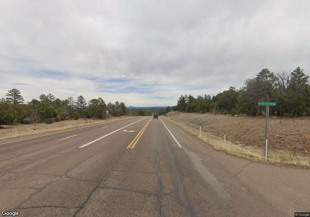
4237 State Route 260 Lakeside, AZ 85929
Estimated Value: $317,452
Studio
--
Bath
4,037
Sq Ft
$79/Sq Ft
Est. Value
About This Home
This home is located at 4237 State Route 260, Lakeside, AZ 85929 and is currently estimated at $317,452, approximately $78 per square foot. 4237 State Route 260 is a home located in Navajo County with nearby schools including Camp Verde Elementary School, Camp Verde Middle School, and Camp Verde High School.
Ownership History
Date
Name
Owned For
Owner Type
Purchase Details
Closed on
Mar 12, 2021
Sold by
Wolf Henry F and Wolf Barbara
Bought by
Aram Properties Lp
Current Estimated Value
Home Financials for this Owner
Home Financials are based on the most recent Mortgage that was taken out on this home.
Original Mortgage
$170,000
Outstanding Balance
$152,393
Interest Rate
2.7%
Mortgage Type
Purchase Money Mortgage
Estimated Equity
$165,059
Purchase Details
Closed on
Dec 29, 2011
Sold by
Marble David L and Marble Laurie J
Bought by
Wolf Henry F and Wolf Barbara M
Purchase Details
Closed on
Oct 25, 2005
Sold by
Wolf Henry F and Wolf Barbara M
Bought by
Marble David L and Marble Laurie J
Home Financials for this Owner
Home Financials are based on the most recent Mortgage that was taken out on this home.
Original Mortgage
$265,000
Interest Rate
6.32%
Mortgage Type
Seller Take Back
Create a Home Valuation Report for This Property
The Home Valuation Report is an in-depth analysis detailing your home's value as well as a comparison with similar homes in the area
Home Values in the Area
Average Home Value in this Area
Purchase History
| Date | Buyer | Sale Price | Title Company |
|---|---|---|---|
| Aram Properties Lp | $220,000 | Pioneer Title | |
| Wolf Henry F | -- | First American Title Ins Co | |
| Wolf Henry F | -- | First American Title Ins Co | |
| Marble David L | $315,000 | Transnation Title |
Source: Public Records
Mortgage History
| Date | Status | Borrower | Loan Amount |
|---|---|---|---|
| Open | Aram Properties Lp | $170,000 | |
| Previous Owner | Marble David L | $265,000 |
Source: Public Records
Tax History Compared to Growth
Tax History
| Year | Tax Paid | Tax Assessment Tax Assessment Total Assessment is a certain percentage of the fair market value that is determined by local assessors to be the total taxable value of land and additions on the property. | Land | Improvement |
|---|---|---|---|---|
| 2026 | $3,454 | -- | -- | -- |
| 2025 | $3,413 | $51,371 | $9,197 | $42,174 |
| 2024 | $3,209 | $43,949 | $9,197 | $34,752 |
| 2023 | $3,413 | $29,537 | $6,387 | $23,150 |
| 2022 | $3,209 | $0 | $0 | $0 |
| 2021 | $3,592 | $0 | $0 | $0 |
| 2020 | $3,457 | $0 | $0 | $0 |
| 2019 | $3,467 | $0 | $0 | $0 |
| 2018 | $3,348 | $0 | $0 | $0 |
| 2017 | $3,209 | $0 | $0 | $0 |
| 2016 | $2,866 | $0 | $0 | $0 |
| 2015 | $2,816 | $22,494 | $7,035 | $15,460 |
Source: Public Records
Map
Nearby Homes
- 4072 E Cripple Creek Dr
- 3200 Aspen Way
- 4190 E Sparkling Ln
- 3087 S Cedar Way Unit 515
- 4021 Sparkling Ln Unit 58
- 3077 Wagner Dr Unit 529
- 3767 E Caroline Cir
- 3761 Caroline Cir
- 3735 E Tumbleweed Dr
- 4020 E Creek View Dr
- 3525 S Chino Dr
- 4360 E Big Valley Dr Unit 276
- 3884 E Sparrow Ln
- 2788 S Twin Leaf Cir
- 3125 S Verde Lakes Dr Unit 178
- 3550 E White Cap Dr Unit 564
- 3422 Dawn Dr Unit 89
- 3710 S Clearwater Dr Unit 124
- 4421 E Canyon Dr Unit 136
- 3661 Bad Rocks Rd Unit 152
- 4201 E State Route 260
- 4153 E State Route 260
- 4153 Arizona 260
- 4273 E State Route 260
- 4270 E Clear Creek Dr
- 4290 E Clear Creek Dr
- 4300 E Clear Creek Dr
- 2968 S Heltzels Way
- 4210 E Clear Creek Dr
- 2911 S Bullpen Rd
- 4160 E Clear Creek Dr
- 4245 E Clear Creek Dr
- 3055 S Dinky Creek Dr
- 4215 E Clear Creek Dr
- 4150 E Clear Creek Dr
