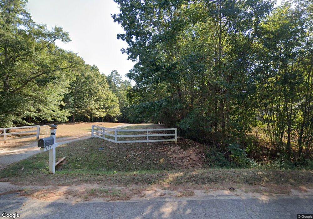
424 Brook Rd Barnesville, GA 30204
Estimated Value: $425,000 - $491,000
4
Beds
3
Baths
2,548
Sq Ft
$181/Sq Ft
Est. Value
About This Home
This home is located at 424 Brook Rd, Barnesville, GA 30204 and is currently estimated at $460,472, approximately $180 per square foot. 424 Brook Rd is a home with nearby schools including Lamar County Primary School, Lamar County Elementary School, and Lamar County Middle School.
Ownership History
Date
Name
Owned For
Owner Type
Purchase Details
Closed on
May 16, 2014
Sold by
Harris Sheila Gail
Bought by
Harris Richard Leonard and Harris Karen
Current Estimated Value
Purchase Details
Closed on
Dec 20, 2006
Sold by
Equity Trust Co
Bought by
Harris Sheila Gail
Purchase Details
Closed on
Dec 14, 2006
Sold by
Not Provided
Bought by
Harris Sheila Gail
Purchase Details
Closed on
Nov 7, 2006
Sold by
Pippin Geraldine S
Bought by
West Mt
Purchase Details
Closed on
Jan 26, 2005
Sold by
Slagle Damon E P
Bought by
Harris Richard L
Purchase Details
Closed on
May 1, 2003
Sold by
The First State Bank
Bought by
Slagle Damon E P
Purchase Details
Closed on
Apr 11, 2002
Sold by
Miller Charles
Bought by
The First State Bank
Purchase Details
Closed on
Jan 23, 2001
Sold by
Watson John Derek
Bought by
Miller Charles
Purchase Details
Closed on
Feb 23, 2000
Sold by
Elliot James W
Bought by
Watson John Derek
Create a Home Valuation Report for This Property
The Home Valuation Report is an in-depth analysis detailing your home's value as well as a comparison with similar homes in the area
Purchase History
| Date | Buyer | Sale Price | Title Company |
|---|---|---|---|
| Harris Richard Leonard | -- | -- | |
| Harris Sheila Gail | $80,000 | -- | |
| Harris Sheila Gail | -- | -- | |
| West Mt | $70,035 | -- | |
| Harris Richard L | $45,000 | -- | |
| Slagle Damon E P | $32,500 | -- | |
| The First State Bank | -- | -- | |
| Miller Charles | $35,000 | -- | |
| Watson John Derek | $25,000 | -- |
Source: Public Records
Tax History
| Year | Tax Paid | Tax Assessment Tax Assessment Total Assessment is a certain percentage of the fair market value that is determined by local assessors to be the total taxable value of land and additions on the property. | Land | Improvement |
|---|---|---|---|---|
| 2025 | $4,647 | $191,617 | $31,980 | $159,637 |
| 2024 | $4,147 | $162,033 | $31,980 | $130,053 |
| 2023 | $4,433 | $160,594 | $31,980 | $128,614 |
| 2022 | $3,916 | $141,863 | $27,801 | $114,062 |
| 2021 | $3,347 | $111,341 | $20,841 | $90,500 |
| 2020 | $2,432 | $76,827 | $20,841 | $55,986 |
| 2019 | $2,438 | $76,827 | $20,841 | $55,986 |
Source: Public Records
Map
Nearby Homes
- 362 Brook Rd
- 329 Brook Rd
- 507 N Ridge Rd
- 880 Johnstonville Rd
- 0 Veterans Unit 10705095
- 0 Veterans Unit 23619323
- 0 Veterans Unit 10429448
- 0 Veterans Unit 10675698
- 125 Red Oak Dr
- 562 Johnstonville Rd
- 218 City Pond Rd
- 0 Crawford Rd Unit 10611435
- 0 Crawford Rd Unit 1
- 239 Walters Rd Unit TRACT 5
- 0 Roberts Rd Unit 10593586
- 278 Cole Forest Blvd
- 206 Cole Forest Blvd
- 119 Mylee Cove
- 0 Hannah St Unit LOT 1 10587177
- 225 Cole Forest Blvd
Your Personal Tour Guide
Ask me questions while you tour the home.