424 Homestead Ct Unit 424 Stewartsville, NJ 08886
Estimated Value: $315,000 - $353,000
--
Bed
--
Bath
1,184
Sq Ft
$275/Sq Ft
Est. Value
About This Home
This home is located at 424 Homestead Ct Unit 424, Stewartsville, NJ 08886 and is currently estimated at $326,082, approximately $275 per square foot. 424 Homestead Ct Unit 424 is a home located in Warren County with nearby schools including Lopatcong Elementary School, Lopatcong Township Middle School, and Sts. Philip & James School.
Ownership History
Date
Name
Owned For
Owner Type
Purchase Details
Closed on
Sep 16, 2008
Sold by
Swick James R
Bought by
Roseberry Rose Mary
Current Estimated Value
Purchase Details
Closed on
Oct 31, 2003
Sold by
Drowne Alfred C
Bought by
Swick James R
Home Financials for this Owner
Home Financials are based on the most recent Mortgage that was taken out on this home.
Original Mortgage
$157,000
Interest Rate
6.05%
Mortgage Type
Purchase Money Mortgage
Purchase Details
Closed on
Nov 9, 2000
Sold by
Segal & Morel At Lopatcong Llc
Bought by
Drowne Alfred C
Home Financials for this Owner
Home Financials are based on the most recent Mortgage that was taken out on this home.
Original Mortgage
$106,752
Interest Rate
7.47%
Mortgage Type
Purchase Money Mortgage
Create a Home Valuation Report for This Property
The Home Valuation Report is an in-depth analysis detailing your home's value as well as a comparison with similar homes in the area
Home Values in the Area
Average Home Value in this Area
Purchase History
| Date | Buyer | Sale Price | Title Company |
|---|---|---|---|
| Roseberry Rose Mary | $220,000 | None Available | |
| Swick James R | $198,500 | -- | |
| Drowne Alfred C | $140,984 | -- |
Source: Public Records
Mortgage History
| Date | Status | Borrower | Loan Amount |
|---|---|---|---|
| Previous Owner | Swick James R | $157,000 | |
| Previous Owner | Drowne Alfred C | $106,752 |
Source: Public Records
Tax History Compared to Growth
Tax History
| Year | Tax Paid | Tax Assessment Tax Assessment Total Assessment is a certain percentage of the fair market value that is determined by local assessors to be the total taxable value of land and additions on the property. | Land | Improvement |
|---|---|---|---|---|
| 2025 | $4,869 | $163,000 | $60,000 | $103,000 |
| 2024 | $4,660 | $163,000 | $60,000 | $103,000 |
| 2023 | $4,647 | $163,000 | $60,000 | $103,000 |
| 2022 | $4,647 | $163,000 | $60,000 | $103,000 |
| 2021 | $4,828 | $163,000 | $60,000 | $103,000 |
| 2020 | $4,817 | $163,000 | $60,000 | $103,000 |
| 2019 | $4,804 | $163,000 | $60,000 | $103,000 |
| 2018 | $4,804 | $163,000 | $60,000 | $103,000 |
| 2017 | $4,812 | $163,000 | $60,000 | $103,000 |
| 2016 | $4,699 | $163,000 | $60,000 | $103,000 |
| 2015 | $4,517 | $163,000 | $60,000 | $103,000 |
| 2014 | $4,499 | $163,000 | $60,000 | $103,000 |
Source: Public Records
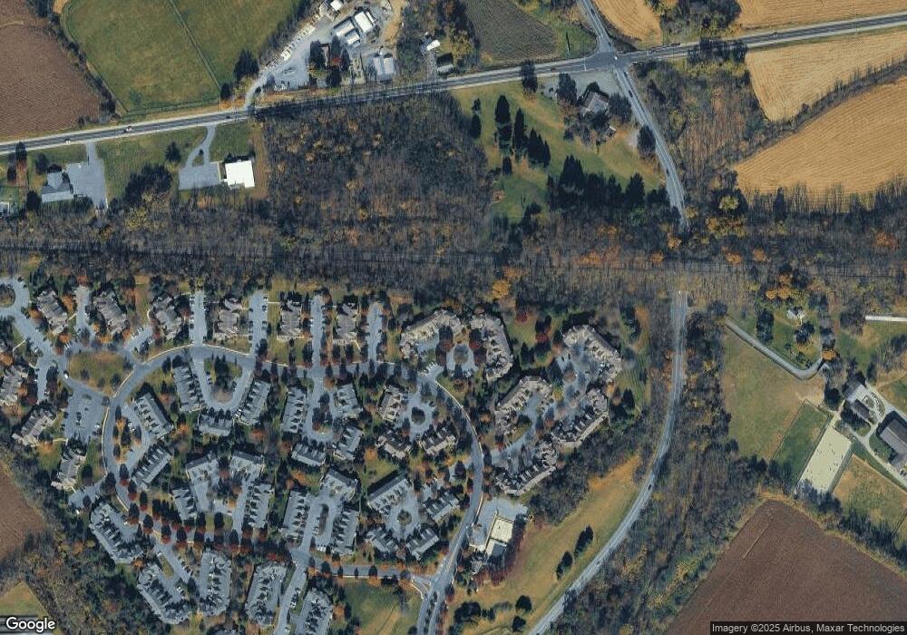
Map
Nearby Homes
- 52 Overlook Dr
- 701 Brandywine Way
- 88 Overlook Dr
- 870 Honeybrook Cir Unit 18870
- 505 Marlin Farm Rd
- 109 Willever Way
- 1829 Gary Rd
- 672 Uniontown Rd
- 5 Rachel Ct
- 1824 Gary Rd
- 999 U S 22
- 344 Shannon St
- 344 Shannon Ct Unit C0344
- 284 Rainbow Way Unit 284
- 421 Thomas Stewart Way
- 221 Windmill Ct Unit 221
- 223 Windmill Ct Unit 223
- 228 Windmill Ct Unit 228
- 1004 Valerie Place
- 197 Powderhorn Dr
- 426 Homestead Ct Unit 426
- 422 Homestead Ct Unit 422
- 428 Homestead Ct Unit 428
- 430 Homestead Ct Unit 430
- 430 Homestead Ct Unit 6430
- 420 Homestead Ct Unit 420
- 432 Homestead Ct Unit 432
- 434 Homestead Ct Unit 434
- 416 Homestead Ct Unit 416
- 436 Homestead Ct Unit 436
- 414 Homestead Ct Unit 5414
- 412 Homestead Ct Unit 412
- 438 Homestead Ct Unit 438
- 410 Homestead Ct Unit 410
- 440 Homestead Ct Unit 440
- 442 Homestead Ct Unit 442
- 408 Homestead Ct Unit 408
- 406 Homestead Ct Unit 406
- 404 Homestead Ct Unit 404
- 400 Homestead Ct