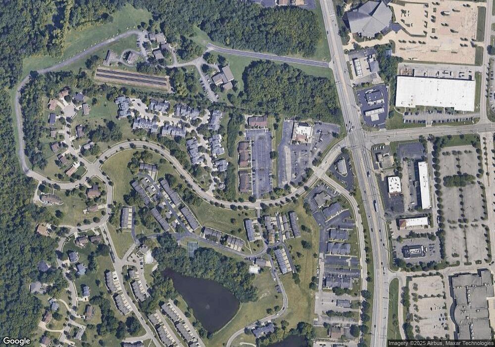
424 Ray Norrish Dr Cincinnati, OH 45246
Estimated Value: $159,770
--
Bed
--
Bath
--
Sq Ft
--
Built
About This Home
This home is located at 424 Ray Norrish Dr, Cincinnati, OH 45246 and is currently estimated at $159,770. 424 Ray Norrish Dr is a home located in Hamilton County with nearby schools including Springdale Elementary School, Princeton Community Middle School, and Princeton High School.
Ownership History
Date
Name
Owned For
Owner Type
Purchase Details
Closed on
Nov 6, 2020
Sold by
W D B Properties Llc
Bought by
3 Tmmmt Llc
Current Estimated Value
Purchase Details
Closed on
Nov 1, 2020
Sold by
Wdb Properties Llc
Bought by
3 Tmmmt Llc
Purchase Details
Closed on
Mar 8, 2004
Sold by
Sutton Gregory C and Sutton Shelley A
Bought by
W D B Properties Llc
Home Financials for this Owner
Home Financials are based on the most recent Mortgage that was taken out on this home.
Original Mortgage
$132,000
Interest Rate
5.77%
Mortgage Type
Commercial
Purchase Details
Closed on
Jan 28, 2000
Sold by
Lenox John A and Lenox Patricia A
Bought by
Sutton Gregory C
Home Financials for this Owner
Home Financials are based on the most recent Mortgage that was taken out on this home.
Original Mortgage
$114,400
Interest Rate
7.84%
Mortgage Type
Commercial
Create a Home Valuation Report for This Property
The Home Valuation Report is an in-depth analysis detailing your home's value as well as a comparison with similar homes in the area
Home Values in the Area
Average Home Value in this Area
Purchase History
| Date | Buyer | Sale Price | Title Company |
|---|---|---|---|
| 3 Tmmmt Llc | $110,000 | None Available | |
| 3 Tmmmt Llc | $110,000 | Baumbick John | |
| W D B Properties Llc | -- | -- | |
| Sutton Gregory C | $130,000 | -- |
Source: Public Records
Mortgage History
| Date | Status | Borrower | Loan Amount |
|---|---|---|---|
| Previous Owner | W D B Properties Llc | $132,000 | |
| Previous Owner | Sutton Gregory C | $114,400 | |
| Closed | Sutton Gregory C | $16,358 |
Source: Public Records
Tax History Compared to Growth
Tax History
| Year | Tax Paid | Tax Assessment Tax Assessment Total Assessment is a certain percentage of the fair market value that is determined by local assessors to be the total taxable value of land and additions on the property. | Land | Improvement |
|---|---|---|---|---|
| 2024 | $2,723 | $38,501 | $9,860 | $28,641 |
| 2023 | $2,671 | $38,501 | $9,860 | $28,641 |
| 2022 | $4,642 | $60,974 | $10,157 | $50,817 |
| 2021 | $4,611 | $60,974 | $10,157 | $50,817 |
| 2020 | $4,529 | $60,974 | $10,157 | $50,817 |
| 2019 | $4,677 | $59,196 | $9,860 | $49,336 |
| 2018 | $4,455 | $59,196 | $9,860 | $49,336 |
| 2017 | $4,296 | $59,196 | $9,860 | $49,336 |
| 2016 | $4,220 | $57,820 | $10,409 | $47,411 |
| 2015 | $4,227 | $57,820 | $10,409 | $47,411 |
| 2014 | $4,226 | $57,820 | $10,409 | $47,411 |
| 2013 | $4,302 | $60,862 | $10,955 | $49,907 |
Source: Public Records
Map
Nearby Homes
- 21 Aspen Ct
- 43 Oakwood Ct
- 38 Providence Dr
- 11907 Lawnview Ave
- 12069 Cantrell Dr
- 17 Springbok Dr
- 3745 Mack Rd
- 12189 Kenn Rd
- 11839 Mangrove Ln
- 19 Caribou Ct
- 11837 Mangrove Ln
- 11760 Van Camp Ln
- 11566 Rose Ln
- 992 Olde Station Ct
- 659 W Kemper Rd
- 692 W Kemper Rd
- 576 Grandin Ave
- 755 Hanson Dr
- 515 Grandin Ave
- 107 Harter Ave
- 426 Ray Norrish Dr
- 12140 Peak Dr
- 430 Ray Norrish Dr Unit 6
- 430 Ray Norrish Dr
- 12142 Peak Dr
- 12146 Peak Dr
- 12098 Crossings Dr
- 12148 Peak Dr
- 12150 Peak Dr
- 12089 Crossings Dr Unit 13
- 12093 Crossings Dr Unit 15
- 12091 Crossings Dr Unit 14
- 12095 Crossings Dr
- 12097 Crossings Dr
- 12145 Peak Dr
- 12152 Peak Dr
- 12096 Crossings Dr
- 12094 Crossings Dr
- 12147 Peak Dr
- 12092 Crossings Dr Unit 3
