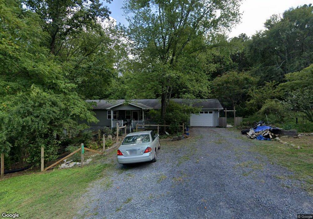
424 Shamrock Dr Dalton, GA 30721
Estimated Value: $240,000 - $314,000
--
Bed
3
Baths
1,940
Sq Ft
$142/Sq Ft
Est. Value
About This Home
This home is located at 424 Shamrock Dr, Dalton, GA 30721 and is currently estimated at $275,206, approximately $141 per square foot. 424 Shamrock Dr is a home located in Whitfield County with nearby schools including New Hope Elementary School, New Hope Middle School, and Northwest Whitfield County High School.
Ownership History
Date
Name
Owned For
Owner Type
Purchase Details
Closed on
Jan 30, 2008
Sold by
Gordon Vernon W
Bought by
Babb Rebecca G
Current Estimated Value
Purchase Details
Closed on
Dec 28, 2007
Sold by
Gordon Harlon J
Bought by
Gordon Vernon W
Purchase Details
Closed on
Dec 18, 2006
Sold by
Not Provided
Bought by
Babb Rebecca G
Create a Home Valuation Report for This Property
The Home Valuation Report is an in-depth analysis detailing your home's value as well as a comparison with similar homes in the area
Home Values in the Area
Average Home Value in this Area
Purchase History
| Date | Buyer | Sale Price | Title Company |
|---|---|---|---|
| Babb Rebecca G | -- | -- | |
| Gordon Vernon W | -- | -- | |
| Babb Rebecca G | -- | -- |
Source: Public Records
Tax History Compared to Growth
Tax History
| Year | Tax Paid | Tax Assessment Tax Assessment Total Assessment is a certain percentage of the fair market value that is determined by local assessors to be the total taxable value of land and additions on the property. | Land | Improvement |
|---|---|---|---|---|
| 2024 | $1,279 | $54,422 | $1,844 | $52,578 |
| 2023 | $1,279 | $71,206 | $2,753 | $68,453 |
| 2022 | $1,353 | $54,422 | $2,702 | $51,720 |
| 2021 | $1,353 | $54,422 | $2,702 | $51,720 |
| 2020 | $1,388 | $54,422 | $2,702 | $51,720 |
| 2019 | $1,405 | $54,422 | $2,702 | $51,720 |
| 2018 | $1,408 | $53,987 | $2,267 | $51,720 |
| 2017 | $1,409 | $53,987 | $2,267 | $51,720 |
| 2016 | $1,228 | $49,378 | $2,236 | $47,142 |
| 2014 | $1,130 | $49,378 | $2,236 | $47,142 |
| 2013 | -- | $49,378 | $2,236 | $47,142 |
Source: Public Records
Map
Nearby Homes
- 1425 Wiggs Dr
- 303 Cherokee Trail NW
- 287 Williams Rd NW
- 609 Cherokee Trail NW
- 1016 Prince Way
- 1015 S Ridge Dr
- 1626 Lagenia Ct
- 0 West R W Ridge Dr
- 2256 Waring Rd NW
- 466 Scarlet Dr
- 3025 Cleveland Hwy
- 2215 Kerr Rd NW
- 3147 Cleveland Hwy
- 192 Carly Dr
- 112 Albertson Dr
- 2002 Broadacre Dr NW
- 106 Albertson Dr
- 2616 Cleveland Hwy
- 3216 Cleveland Hwy
- 418 Shamrock Dr
- 414 Cherokee Ln NW
- 412 Cherokee Ln NW
- 421 Cherokee Way NW
- 410 Shamrock Dr
- 411 Cherokee Ln NW
- 415 Cherokee Ln NW
- 417 Cherokee Ln NW
- 419 Cherokee Trail NW
- 400 Williams Rd NW
- 409 Shamrock Dr
- 409 Cherokee Ln NW
- 423 Cherokee Way NW
- 349 Williams Rd NW
- 1660 Stinnett Dr NW
- 407 Cherokee Ln NW
- 425 Cherokee Trail NW
- 1682 Stinnett Dr NW
- 405 Cherokee Trail NW
- 406 Cherokee Trail NW