424 Splitrock Rd Grantham, NH 03753
Estimated Value: $623,000 - $688,000
About This Home
This home is located at 424 Splitrock Rd, Grantham, NH 03753 and is currently estimated at $656,869, approximately $275 per square foot. 424 Splitrock Rd is a home with nearby schools including Grantham Village School and Lebanon High School.
Ownership History
We collect this data history from publicly available records. To have your information removed, we recommend requesting removal directly through your county’s website.
Purchase Details
Home Values in the Area
Average Home Value in this Area
Purchase History
We collect this data history from publicly available records. To have your information removed, we recommend requesting removal directly through your county’s website.
| Date | Buyer | Sale Price | Title Company |
|---|---|---|---|
| $45,000 | -- |
Mortgage History
We collect this data history from publicly available records. To have your information removed, we recommend requesting removal directly through your county’s website.
| Date | Status | Borrower | Loan Amount |
|---|---|---|---|
| Open | $314,500 | ||
| Closed | $12,000 |
Tax History
We collect this data history from publicly available records. To have your information removed, we recommend requesting removal directly through your county’s website.
| Year | Tax Paid | Tax Assessment Tax Assessment Total Assessment is a certain percentage of the fair market value that is determined by local assessors to be the total taxable value of land and additions on the property. | Land | Improvement |
|---|---|---|---|---|
| 2025 | $10,552 | $476,800 | $102,300 | $374,500 |
| 2024 | $9,350 | $476,800 | $102,300 | $374,500 |
| 2023 | $8,387 | $476,800 | $102,300 | $374,500 |
| 2022 | $7,839 | $476,800 | $102,300 | $374,500 |
| 2021 | $8,338 | $363,800 | $107,900 | $255,900 |
| 2020 | $8,535 | $363,800 | $107,900 | $255,900 |
| 2019 | $8,441 | $326,400 | $101,400 | $225,000 |
| 2018 | $8,516 | $326,400 | $101,400 | $225,000 |
| 2017 | $7,579 | $319,500 | $101,400 | $218,100 |
| 2016 | $7,815 | $327,800 | $101,400 | $226,400 |
| 2015 | $7,820 | $324,200 | $101,400 | $222,800 |
| 2014 | $7,204 | $323,500 | $99,700 | $223,800 |
| 2013 | $1,795 | $83,700 | $83,700 | $0 |
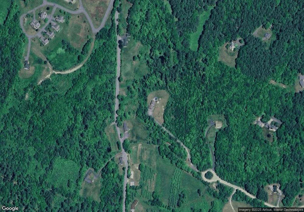
Map
- 6 General Ct Unit 6
- 21 Wintercroft Cir Unit 2
- 421 Route 10 S
- 6 Brookside Dr
- 80 Doc's Dr
- 9 Cradle Hill Ln
- 8 Cradle Hill Ln
- 17 Hummock Ln
- 119 Shedd Rd
- 50 Longwood Dr
- 27 Spring Valley Dr
- 7 Double Diamond Dr
- 3 Longwood Dr
- 0 Route 10 N Unit 5058175
- 71 Greensward Dr
- 78 Greensward Dr
- tbd Stocker Pond Unit 236-43
- tbd Stocker Pond
- 215 Stocker Pond Rd
- 0 Rawson Ridge Unit 6
- 382 Cote Rd
- 373 Cote Rd
- 416 Splitrock Rd
- 486 Cote Rd
- 385 Cote Rd
- 322 Cote Rd
- 486(A) Cote Rd
- 196 Sugar Wood Ln
- 3 General
- 2 General Ct Unit 2
- 1 General Ct Unit 2
- 2 General Ct
- 5 General Ct
- 30 Sugarwood Ln
- 393 Dunbar Hill Rd
- 350 Splitrock Rd
- 391 Splitrock Rd
- 438 Dunbar Hill Rd
- 22 Barrister Path Unit 3
- 24 Barrister Path Unit 24
Ask me questions while you tour the home.