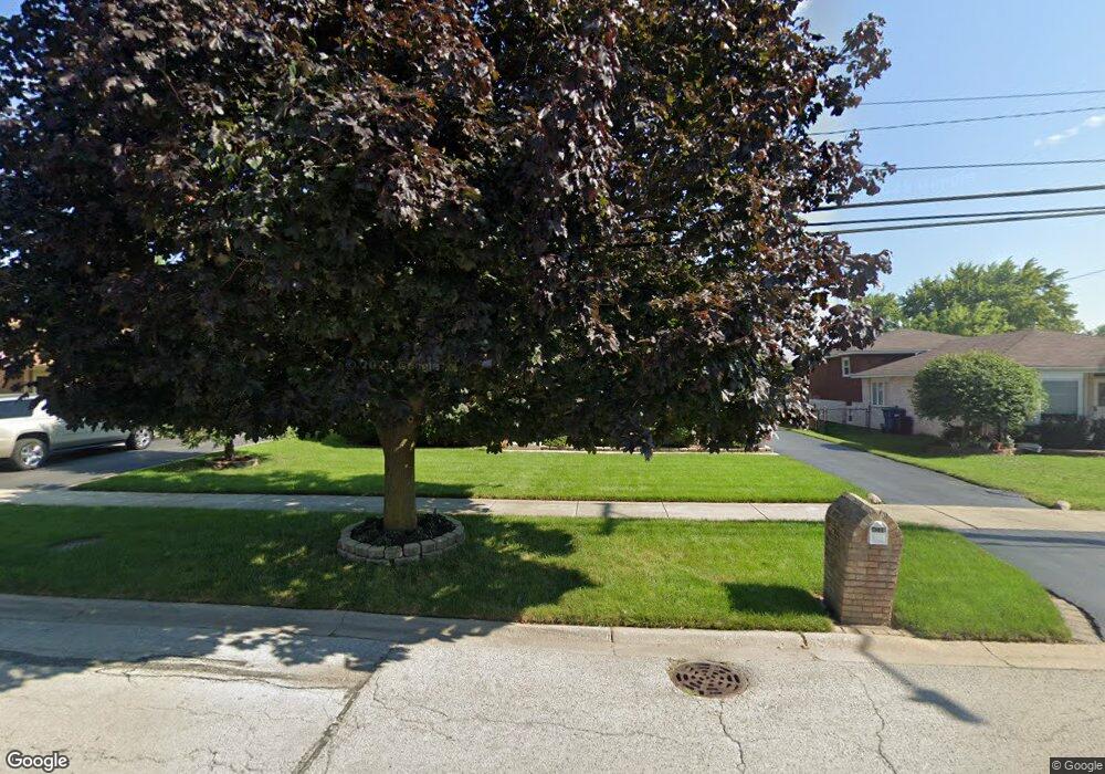
4240 143rd St Midlothian, IL 60445
Estimated Value: $281,855 - $319,000
3
Beds
2
Baths
1,116
Sq Ft
$272/Sq Ft
Est. Value
About This Home
This home is located at 4240 143rd St, Midlothian, IL 60445 and is currently estimated at $303,464, approximately $271 per square foot. 4240 143rd St is a home located in Cook County with nearby schools including Kolmar Elementary School, A B Shepard High School, and St. Christopher School.
Ownership History
Date
Name
Owned For
Owner Type
Purchase Details
Closed on
May 3, 2006
Sold by
Rook Sylvia C
Bought by
Palos Bank & Trust Co and Trust #1-6834
Current Estimated Value
Purchase Details
Closed on
Aug 24, 2000
Sold by
Regan Daniel P
Bought by
Rook James F and Rook Sylvia
Home Financials for this Owner
Home Financials are based on the most recent Mortgage that was taken out on this home.
Original Mortgage
$110,000
Interest Rate
8.12%
Create a Home Valuation Report for This Property
The Home Valuation Report is an in-depth analysis detailing your home's value as well as a comparison with similar homes in the area
Home Values in the Area
Average Home Value in this Area
Purchase History
| Date | Buyer | Sale Price | Title Company |
|---|---|---|---|
| Palos Bank & Trust Co | -- | None Available | |
| Rook James F | $153,000 | -- |
Source: Public Records
Mortgage History
| Date | Status | Borrower | Loan Amount |
|---|---|---|---|
| Previous Owner | Rook James F | $110,000 |
Source: Public Records
Tax History
| Year | Tax Paid | Tax Assessment Tax Assessment Total Assessment is a certain percentage of the fair market value that is determined by local assessors to be the total taxable value of land and additions on the property. | Land | Improvement |
|---|---|---|---|---|
| 2025 | $2,192 | $24,000 | $2,800 | $21,200 |
| 2024 | $2,192 | $24,000 | $2,800 | $21,200 |
| 2023 | $2,714 | $24,000 | $2,800 | $21,200 |
| 2022 | $2,714 | $16,075 | $2,450 | $13,625 |
| 2021 | $2,470 | $16,074 | $2,450 | $13,624 |
| 2020 | $2,254 | $16,074 | $2,450 | $13,624 |
| 2019 | $2,525 | $17,571 | $2,275 | $15,296 |
| 2018 | $2,424 | $17,571 | $2,275 | $15,296 |
| 2017 | $2,428 | $17,571 | $2,275 | $15,296 |
| 2016 | $3,327 | $16,062 | $1,925 | $14,137 |
| 2015 | $3,440 | $16,062 | $1,925 | $14,137 |
| 2014 | $3,393 | $16,062 | $1,925 | $14,137 |
| 2013 | $3,477 | $18,705 | $1,925 | $16,780 |
Source: Public Records
Map
Nearby Homes
- 14401 Kolin Ave
- 14244 Kostner Ave
- 14455 Kedvale Ave
- 14528 Kolin Ave
- 14540 Kolin Ave
- 3902 Claire Blvd
- 14545 Kostner Ave
- 14348 Kolmar Ave
- 14448 Kilbourne Ave
- 14547 Keystone Ave Unit 12
- 14539 Crawford Ave
- 14618 Keystone Ave
- 14613 Keystone Ave
- 4031 147th St
- 4118 W Midlothian Turnpike
- 14340 Kilpatrick Ave
- 14506 Knox Ave
- 14301 Hamlin Ave
- 14144 Kilpatrick Ave
- 14602 Kenton Ave
- 4246 143rd St
- 4232 143rd St
- 4224 143rd St
- 4252 143rd St
- 14300 Tripp Ave
- 14235 Kildare Ave
- 4216 143rd St
- 14301 Tripp Ave
- 14306 Tripp Ave
- 4258 W 143rd St
- 4258 143rd St
- 4208 143rd St
- 14251 Kildare Ave
- 14303 Kildare Ave
- 14307 Tripp Ave
- 14312 Tripp Ave
- 14226 Keeler Ave
- 14307 Kildare Ave
- 14236 Keeler Ave
- 14311 Tripp Ave
Your Personal Tour Guide
Ask me questions while you tour the home.