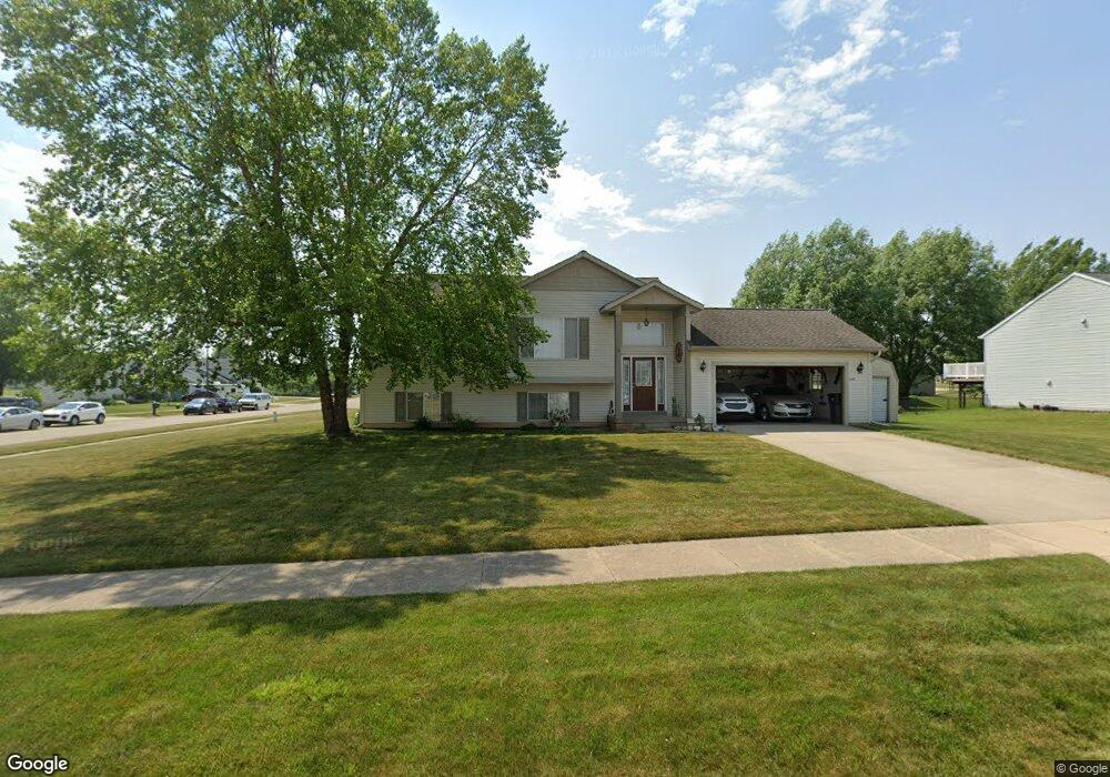
4240 Springwell Ct Wayland, MI 49348
Estimated Value: $343,563 - $382,000
3
Beds
2
Baths
1,856
Sq Ft
$196/Sq Ft
Est. Value
About This Home
This home is located at 4240 Springwell Ct, Wayland, MI 49348 and is currently estimated at $363,641, approximately $195 per square foot. 4240 Springwell Ct is a home located in Allegan County with nearby schools including Wayland High School, Moline Christian School, and St. Therese Catholic School.
Ownership History
Date
Name
Owned For
Owner Type
Purchase Details
Closed on
Oct 31, 2005
Sold by
Don Anthony Builders & Developers Inc
Bought by
Hill William H and Hill Phyllis
Current Estimated Value
Purchase Details
Closed on
Aug 16, 2005
Sold by
T & M Partners Llc
Bought by
Don Anthony Builders & Developers Inc
Home Financials for this Owner
Home Financials are based on the most recent Mortgage that was taken out on this home.
Original Mortgage
$1,200,000
Interest Rate
5.89%
Mortgage Type
Credit Line Revolving
Create a Home Valuation Report for This Property
The Home Valuation Report is an in-depth analysis detailing your home's value as well as a comparison with similar homes in the area
Home Values in the Area
Average Home Value in this Area
Purchase History
| Date | Buyer | Sale Price | Title Company |
|---|---|---|---|
| Hill William H | $148,000 | River Valley Title | |
| Don Anthony Builders & Developers Inc | $38,000 | River Valley Title |
Source: Public Records
Mortgage History
| Date | Status | Borrower | Loan Amount |
|---|---|---|---|
| Previous Owner | Don Anthony Builders & Developers Inc | $1,200,000 |
Source: Public Records
Tax History Compared to Growth
Tax History
| Year | Tax Paid | Tax Assessment Tax Assessment Total Assessment is a certain percentage of the fair market value that is determined by local assessors to be the total taxable value of land and additions on the property. | Land | Improvement |
|---|---|---|---|---|
| 2025 | $2,365 | $126,500 | $29,700 | $96,800 |
| 2024 | $2,175 | $119,700 | $24,700 | $95,000 |
| 2023 | $2,175 | $110,400 | $24,700 | $85,700 |
| 2022 | $2,175 | $90,400 | $11,000 | $79,400 |
| 2021 | $2,021 | $84,400 | $11,000 | $73,400 |
| 2020 | $2,001 | $80,400 | $11,000 | $69,400 |
| 2019 | $1,944 | $76,100 | $13,000 | $63,100 |
| 2018 | $1,875 | $75,400 | $12,000 | $63,400 |
| 2017 | $0 | $70,800 | $12,000 | $58,800 |
| 2016 | $0 | $63,200 | $12,000 | $51,200 |
| 2015 | -- | $63,200 | $12,000 | $51,200 |
| 2014 | -- | $60,000 | $12,000 | $48,000 |
| 2013 | -- | $57,400 | $12,000 | $45,400 |
Source: Public Records
Map
Nearby Homes
- 4240 Butternut Dr
- Vienna Plan at Harvest Meadows
- Charlotte Plan at Harvest Meadows
- Sierra Plan at Harvest Meadows
- Karolynn Plan at Harvest Meadows
- Reno Plan at Harvest Meadows
- Bayberry Plan at Harvest Meadows
- Freedom Plan at Harvest Meadows
- London Plan at Harvest Meadows
- Hampton Plan at Harvest Meadows
- Oxford Plan at Harvest Meadows
- Lot 142 Butternut Dr
- Lot 141 Butternut Dr
- 4243 Butternut Dr
- 4245 Butternut Dr
- 4249 Butternut Dr
- Unit 111 Highpoint Dr
- 4274 Butternut Dr
- 4273 Highpoint Dr Unit 112
- 4316 Sussex Place
- 4244 Springwell Ct
- 4245 Cloverfield Ct
- 4241 Springwell Ct
- 1078 Millstone
- 4245 Springwell Ct
- 1074 Millstone
- 1080 Millstone
- 4248 Springwell Ct
- 4249 Cloverfield Ct
- 1072 Millstone
- 1082 Millstone
- 4240 Cloverfield Ct
- 4240 Homestead
- 4249 Springwell Ct
- 4244 Cloverfield Ct
- 4244 Homestead
- 1075 Barnwood
- 1070 Millstone
- 4252 Springwell Ct
- 1084 Millstone