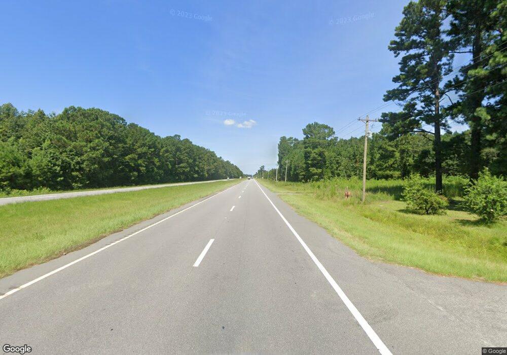
Estimated Value: $205,000 - $338,144
3
Beds
2
Baths
1,360
Sq Ft
$186/Sq Ft
Est. Value
About This Home
This home is located at 4241 Highway 9 E, Loris, SC 29569 and is currently estimated at $252,786, approximately $185 per square foot. 4241 Highway 9 E is a home located in Horry County with nearby schools including Daisy Elementary School, Loris Middle School, and Loris High School.
Ownership History
Date
Name
Owned For
Owner Type
Purchase Details
Closed on
Sep 19, 2007
Sold by
Todd Carl
Bought by
Paradise Casey Allen
Current Estimated Value
Home Financials for this Owner
Home Financials are based on the most recent Mortgage that was taken out on this home.
Original Mortgage
$150,000
Outstanding Balance
$92,823
Interest Rate
6.49%
Mortgage Type
Purchase Money Mortgage
Estimated Equity
$159,963
Purchase Details
Closed on
Jan 22, 2007
Sold by
Todd Tanya
Bought by
Todd Carl
Purchase Details
Closed on
Sep 7, 2000
Sold by
Martin Pat and Shaver Patricia M
Bought by
Todd Carl and Todd Tanya
Home Financials for this Owner
Home Financials are based on the most recent Mortgage that was taken out on this home.
Original Mortgage
$69,600
Interest Rate
8.05%
Mortgage Type
Purchase Money Mortgage
Create a Home Valuation Report for This Property
The Home Valuation Report is an in-depth analysis detailing your home's value as well as a comparison with similar homes in the area
Home Values in the Area
Average Home Value in this Area
Purchase History
| Date | Buyer | Sale Price | Title Company |
|---|---|---|---|
| Paradise Casey Allen | $150,000 | None Available | |
| Todd Carl | -- | None Available | |
| Todd Carl | $54,000 | Southern Title Co Inc |
Source: Public Records
Mortgage History
| Date | Status | Borrower | Loan Amount |
|---|---|---|---|
| Open | Paradise Casey Allen | $150,000 | |
| Previous Owner | Todd Carl | $69,600 |
Source: Public Records
Tax History
| Year | Tax Paid | Tax Assessment Tax Assessment Total Assessment is a certain percentage of the fair market value that is determined by local assessors to be the total taxable value of land and additions on the property. | Land | Improvement |
|---|---|---|---|---|
| 2025 | $988 | $0 | $0 | $0 |
| 2024 | $988 | $7,391 | $2,556 | $4,835 |
| 2023 | $988 | $3,884 | $1,082 | $2,802 |
| 2021 | $915 | $3,884 | $1,082 | $2,802 |
| 2020 | $840 | $3,884 | $1,082 | $2,802 |
| 2019 | $840 | $3,884 | $1,082 | $2,802 |
| 2018 | $0 | $3,669 | $831 | $2,838 |
| 2017 | $249 | $3,669 | $831 | $2,838 |
| 2016 | -- | $3,669 | $831 | $2,838 |
| 2015 | $249 | $3,669 | $831 | $2,838 |
| 2014 | $231 | $3,669 | $831 | $2,838 |
Source: Public Records
Map
Nearby Homes
- Europa Plan at Andalusia
- Mare Plan at Andalusia
- Highland Plan at Andalusia
- Sterling Plan at Andalusia
- Hubble Plan at Andalusia
- Comet Plan at Andalusia
- Alps Plan at Andalusia
- Moonbeam Plan at Andalusia
- 135 Honey Jar Way
- 225 Blueberry Fields Ct
- 221 Blueberry Fields Ct Unit Lot 105- Harbor Oak
- 296 Long Beard Way
- CALVERT Plan at The Forest at Black Bear
- ARIA Plan at The Forest at Black Bear
- EATON Plan at The Forest at Black Bear
- DEVON Plan at The Forest at Black Bear
- FORRESTER Plan at The Forest at Black Bear
- GLYNN Plan at The Forest at Black Bear
- DARBY Plan at The Forest at Black Bear
- KERRY Plan at The Forest at Black Bear
- 4259 Highway 9 E
- 4257 Highway 9 E
- 4298 Highway 9 E Unit ON
- 4381 Highway 9 E Unit ON
- 335 Cedar Branch Rd
- 351 Cedar Branch Rd
- 280 Cedar Branch Rd
- 200 Cedar Branch Rd
- 387 Cedar Branch Rd
- 395 Cedar Branch Rd
- 433 Cedar Branch Rd
- 158 Linares St
- 162 Linares St
- 166 Linares St
- 644 Castillo Dr
- 639 Castillo Dr
- 644 Castillo Dr
- 631 Castillo Dr
- 618 Linares St
- 178 Linares St
