Estimated Value: $216,000 - $301,050
2
Beds
1
Bath
1,314
Sq Ft
$196/Sq Ft
Est. Value
About This Home
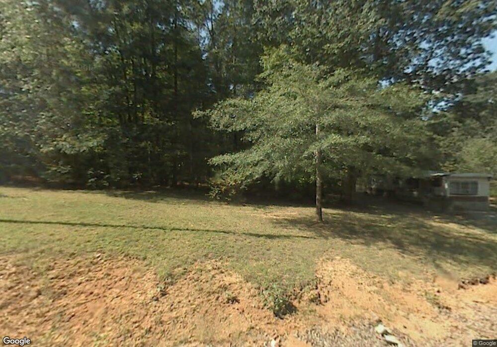
This home is located at 4242 Nc 66 Hwy S, King, NC 27021 and is currently estimated at $257,763, approximately $196 per square foot. 4242 Nc 66 Hwy S is a home located in Stokes County with nearby schools including Mount Olive Elementary School, Chestnut Grove Middle, and West Stokes High.
Ownership History
Date
Name
Owned For
Owner Type
Purchase Details
Closed on
May 27, 2025
Sold by
Mcknight Crystal Joyce and Mcknight Stevie Wayne
Bought by
Gibson James and Gibson Charlene
Current Estimated Value
Purchase Details
Closed on
May 7, 2025
Sold by
Mcknight Crystal and Mcknight Stevie Wayne
Bought by
27021 Properties Llc and Kiser
Create a Home Valuation Report for This Property
The Home Valuation Report is an in-depth analysis detailing your home's value as well as a comparison with similar homes in the area
Home Values in the Area
Average Home Value in this Area
Purchase History
| Date | Buyer | Sale Price | Title Company |
|---|---|---|---|
| Gibson James | $160,000 | None Listed On Document | |
| Gibson James | $160,000 | None Listed On Document | |
| 27021 Properties Llc | $170,000 | None Listed On Document | |
| 27021 Properties Llc | $170,000 | None Listed On Document |
Source: Public Records
Tax History Compared to Growth
Tax History
| Year | Tax Paid | Tax Assessment Tax Assessment Total Assessment is a certain percentage of the fair market value that is determined by local assessors to be the total taxable value of land and additions on the property. | Land | Improvement |
|---|---|---|---|---|
| 2025 | $2,048 | $286,400 | $242,100 | $44,300 |
| 2024 | $2,048 | $204,700 | $175,200 | $29,500 |
| 2023 | $1,658 | $204,700 | $175,200 | $29,500 |
| 2022 | $1,515 | $204,700 | $175,200 | $29,500 |
| 2021 | $1,515 | $204,700 | $175,200 | $29,500 |
| 2020 | $1,330 | $179,700 | $153,600 | $26,100 |
| 2019 | $1,330 | $179,700 | $153,600 | $26,100 |
| 2018 | $1,330 | $179,700 | $153,600 | $26,100 |
| 2017 | $1,321 | $179,700 | $153,600 | $26,100 |
| 2016 | $1,306 | $177,700 | $153,800 | $23,900 |
| 2015 | $1,297 | $177,700 | $153,800 | $23,900 |
| 2014 | $1,311 | $177,700 | $153,800 | $23,900 |
Source: Public Records
Map
Nearby Homes
- 0 Nance Rd
- 3125 YMcA Camp Rd
- 1065 Reid Rd
- 0 Reid Rd
- 1208 Kentland Dr
- .64 Ac Kentland Dr Unit .64 Ac
- 5.25 Ac Capella Ridge Rd Unit 5.25 Ac
- +/- 17.06 Johnson Rd
- 108 Nova Ln
- 1739 Denny Rd
- 100 Ridgecrest Dr
- 1105 Flippin Ln
- 1085 Mystic Ln
- 6064 S Nc Highway 66
- 7.99 Mickey Rd
- Lot 9 Brown Rd
- 1255 Mountain View Rd
- 1060 Brown Rd
- 103 Jasper Ct
- 1751 Flat Rock Rd
- 4211 Nc 66 Hwy S
- 1147 Flat Shoals Rd
- 1041 Flat Shoals Rd
- 1060 Flat Shoals Rd
- 4352 Nc 66 Hwy S
- 4356 Nc 66 Hwy S
- 1025 Ferguson Dr
- 1212 Flat Shoals Rd
- 1125 Kiser Farm Rd
- 4400 Nc 66 Hwy S
- 4414 Nc 66 Hwy S
- 1095 Ferguson Dr
- 4410 Nc 66 Hwy S
- 1225 Flat Shoals Rd
- 1235 Flat Shoals Rd
- 4420 Nc 66 Hwy S
- 3899 YMcA Camp Rd
- 4064 Nc 66 Hwy S
- 3867 YMcA Camp Rd
- 3887 YMcA Camp Rd