4243 Livingston Rd Central Point, OR 97502
Estimated Value: $1,040,238 - $1,229,000
2
Beds
4
Baths
3,425
Sq Ft
$338/Sq Ft
Est. Value
About This Home
This home is located at 4243 Livingston Rd, Central Point, OR 97502 and is currently estimated at $1,157,413, approximately $337 per square foot. 4243 Livingston Rd is a home located in Jackson County with nearby schools including Jacksonville Elementary School, McLoughlin Middle School, and South Medford High School.
Ownership History
Date
Name
Owned For
Owner Type
Purchase Details
Closed on
May 3, 2019
Sold by
Schuler Gregory S and Schuler Joan E
Bought by
Schuler Gregory S
Current Estimated Value
Purchase Details
Closed on
May 6, 2009
Sold by
Schuler Gregory S
Bought by
Schuler Gregory S and Schuler Joan E
Purchase Details
Closed on
Jun 30, 2004
Sold by
Schuler Carole E
Bought by
Schuler Gregory S
Create a Home Valuation Report for This Property
The Home Valuation Report is an in-depth analysis detailing your home's value as well as a comparison with similar homes in the area
Home Values in the Area
Average Home Value in this Area
Purchase History
| Date | Buyer | Sale Price | Title Company |
|---|---|---|---|
| Schuler Gregory S | -- | None Available | |
| Schuler Gregory S | -- | None Available | |
| Schuler Gregory S | -- | -- |
Source: Public Records
Tax History Compared to Growth
Tax History
| Year | Tax Paid | Tax Assessment Tax Assessment Total Assessment is a certain percentage of the fair market value that is determined by local assessors to be the total taxable value of land and additions on the property. | Land | Improvement |
|---|---|---|---|---|
| 2025 | $8,614 | $706,950 | $211,210 | $495,740 |
| 2024 | $8,614 | $686,360 | $210,910 | $475,450 |
| 2023 | $8,350 | $666,370 | $204,770 | $461,600 |
| 2022 | $8,155 | $666,370 | $204,770 | $461,600 |
| 2021 | $7,951 | $646,970 | $198,810 | $448,160 |
| 2020 | $7,765 | $628,130 | $193,010 | $435,120 |
| 2019 | $7,589 | $592,080 | $181,930 | $410,150 |
| 2018 | $7,400 | $574,840 | $176,640 | $398,200 |
| 2017 | $7,282 | $574,840 | $176,640 | $398,200 |
| 2016 | $7,147 | $541,850 | $166,510 | $375,340 |
| 2015 | $6,916 | $541,850 | $166,510 | $375,340 |
| 2014 | $6,795 | $510,750 | $156,950 | $353,800 |
Source: Public Records
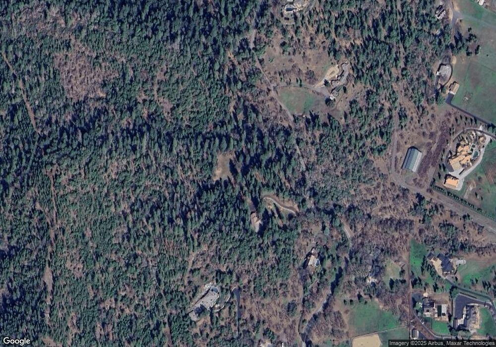
Map
Nearby Homes
- 4075 Livingston Rd
- 440 Richard Way
- 465 Strawberry Hill Ln
- 321 Pair A Dice Ranch Rd
- 560 Woodberry Ln
- 325 Jackson Creek Dr
- 245 Jackson Creek Dr
- 1055 N 5th St Unit 79
- 1055 N 5th St Unit 15
- 1528 Morton Way
- 480 N Oregon St
- 440 N 4th St Unit 103
- 440 N 4th St Unit 104
- 1916 Old Military Rd
- 195 E St
- 791 Oregon 238
- 300 Shafer Ln Unit B4
- 802 Steepleview Dr
- 495 Shafer Ln
- 809 Steeple View Lot 12
- 4225 Livingston Rd
- 4132 Livingston Rd
- 4300 Livingston Rd
- 4111 Livingston Rd
- 4190 Livingston Rd
- 4400 Livingston Rd
- 4106 Livingston Rd
- 4177 Tami Ln
- 4004 Jonathan Way
- 4177 Tami Ln
- 3910 Jonathan Way
- 3910 Jonathan Way
- 4170 Livingston Rd
- 3924 Jonathan Way
- 3924 Livingston Rd
- 4065 Livingston Rd
- 4365 Tami Ln
- 969 Old Stage Rd
- 4028 Livingston Rd
- 4069 Livingston Rd