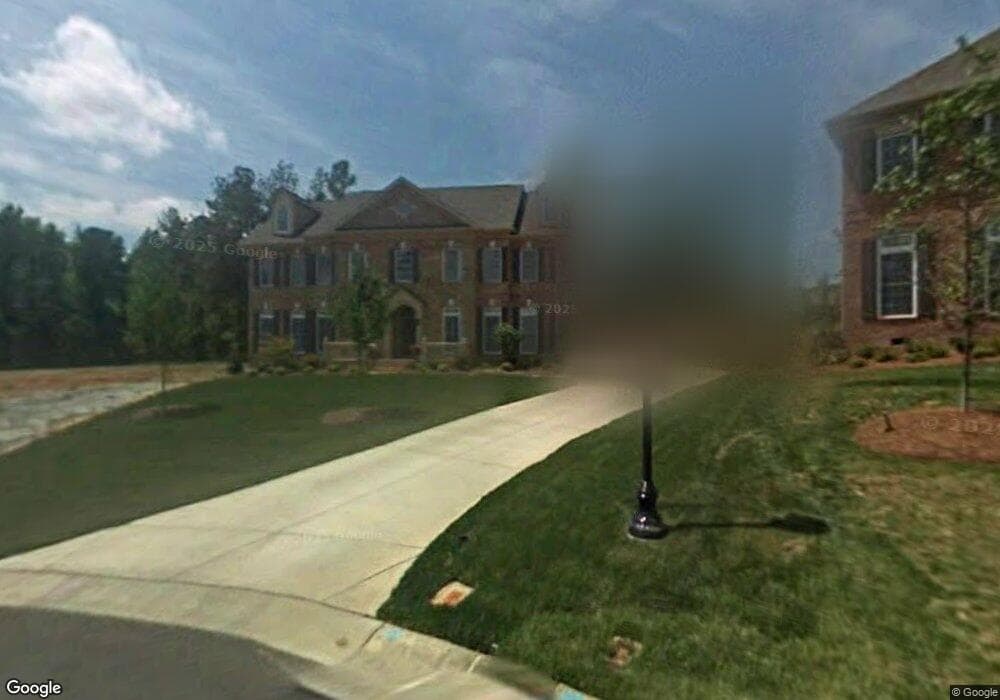
4243 Rochard Ln Fort Mill, SC 29707
Estimated Value: $874,000 - $981,000
5
Beds
4
Baths
3,610
Sq Ft
$256/Sq Ft
Est. Value
About This Home
This home is located at 4243 Rochard Ln, Fort Mill, SC 29707 and is currently estimated at $923,874, approximately $255 per square foot. 4243 Rochard Ln is a home located in Lancaster County with nearby schools including Harrisburg Elementary School, Indian Land Middle School, and Indian Land High School.
Ownership History
Date
Name
Owned For
Owner Type
Purchase Details
Closed on
Aug 10, 2010
Sold by
Brookfield Global Relocation Services Ll
Bought by
Ashworth Treva G and Ashworth Diana J
Current Estimated Value
Home Financials for this Owner
Home Financials are based on the most recent Mortgage that was taken out on this home.
Original Mortgage
$405,900
Outstanding Balance
$269,287
Interest Rate
4.61%
Mortgage Type
New Conventional
Estimated Equity
$654,587
Purchase Details
Closed on
Feb 22, 2010
Sold by
Evans Gail
Bought by
Brookfield Global Relocation Services Ll
Purchase Details
Closed on
Sep 14, 2007
Sold by
John Wieland Homes & Neighborhoods Of Th
Bought by
Evans Gail
Home Financials for this Owner
Home Financials are based on the most recent Mortgage that was taken out on this home.
Original Mortgage
$449,449
Interest Rate
6.57%
Mortgage Type
New Conventional
Create a Home Valuation Report for This Property
The Home Valuation Report is an in-depth analysis detailing your home's value as well as a comparison with similar homes in the area
Home Values in the Area
Average Home Value in this Area
Purchase History
| Date | Buyer | Sale Price | Title Company |
|---|---|---|---|
| Ashworth Treva G | $451,000 | -- | |
| Brookfield Global Relocation Services Ll | $469,250 | -- | |
| Evans Gail | $561,811 | Attorney |
Source: Public Records
Mortgage History
| Date | Status | Borrower | Loan Amount |
|---|---|---|---|
| Open | Ashworth Treva G | $405,900 | |
| Previous Owner | Evans Gail | $449,449 |
Source: Public Records
Tax History
| Year | Tax Paid | Tax Assessment Tax Assessment Total Assessment is a certain percentage of the fair market value that is determined by local assessors to be the total taxable value of land and additions on the property. | Land | Improvement |
|---|---|---|---|---|
| 2024 | $3,707 | $22,200 | $3,000 | $19,200 |
| 2023 | $3,603 | $22,200 | $3,000 | $19,200 |
| 2022 | $3,531 | $22,200 | $3,000 | $19,200 |
| 2021 | $3,459 | $22,200 | $3,000 | $19,200 |
| 2020 | $3,276 | $20,388 | $3,000 | $17,388 |
| 2019 | $6,895 | $20,388 | $3,000 | $17,388 |
| 2018 | $6,635 | $20,388 | $3,000 | $17,388 |
| 2017 | $3,204 | $0 | $0 | $0 |
| 2016 | $3,053 | $0 | $0 | $0 |
| 2015 | $2,688 | $0 | $0 | $0 |
| 2014 | $2,688 | $0 | $0 | $0 |
| 2013 | $2,688 | $0 | $0 | $0 |
Source: Public Records
Map
Nearby Homes
- 3129 Hartson Pointe Dr
- 3159 Hartson Pointe Dr
- 13011 W Palermo Ct
- 6006 Cadence Ln
- 9142 Drayton Ln
- 4449 Family Trail Dr
- 4415 Family Trail Dr
- 6152 Warrior Ave Unit 91
- 5152 Longbrooke Ct
- 5125 Longbrooke Ct
- 7316 Barrington Ridge Dr Unit 14
- 2296 Hanover Ct
- 8038 Long House Ln
- 5635 de Vere Dr
- 8926 N Dorchester Trace
- 2262 Hanover Ct
- 5645 de Vere Dr Unit 103 Blayre
- 8037 Long House Ln
- 5128 Longbrooke Ct
- 4720 Darcey Way
- 4237 Rochard Ln
- 4249 Rochard Ln
- 6047 Arundale Ln
- 6053 Arundale Ln
- 6041 Arundale Ln
- 5207 Kelston Ln
- 6059 Arundale Ln
- 4252 Rochard Ln
- 5213 Kelston Ln
- 4258 Rochard Ln
- 6035 Arundale Ln
- 6050 Arundale Ln
- 4264 Rochard Ln
- 6065 Arundale Ln
- 6056 Arundale Ln
- 6062 Arundale Ln
- 5219 Kelston Ln
- 6038 Arundale Ln
- 4270 Rochard Ln
- 6071 Arundale Ln
Your Personal Tour Guide
Ask me questions while you tour the home.