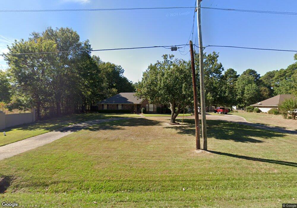
4244 Roy Rd Shreveport, LA 71107
Estimated Value: $266,000 - $313,000
3
Beds
2
Baths
2,341
Sq Ft
$123/Sq Ft
Est. Value
About This Home
This home is located at 4244 Roy Rd, Shreveport, LA 71107 and is currently estimated at $288,432, approximately $123 per square foot. 4244 Roy Rd is a home located in Caddo Parish with nearby schools including Blanchard Elementary School, Judson Fundamental Elementary School, and Fairfield Magnet School.
Ownership History
Date
Name
Owned For
Owner Type
Purchase Details
Closed on
Oct 21, 2016
Sold by
Pounds Steven R and Pounds Wanda Michelle
Bought by
Ellison Shawn Christopher and Ellison Jessica Jane
Current Estimated Value
Purchase Details
Closed on
Oct 29, 2012
Sold by
Skyrme Gregory Allan and Skyrme Georgia Ann
Bought by
Pounds Steven R and Pounds Wanda Michelle
Home Financials for this Owner
Home Financials are based on the most recent Mortgage that was taken out on this home.
Original Mortgage
$192,449
Interest Rate
3.52%
Mortgage Type
FHA
Create a Home Valuation Report for This Property
The Home Valuation Report is an in-depth analysis detailing your home's value as well as a comparison with similar homes in the area
Home Values in the Area
Average Home Value in this Area
Purchase History
| Date | Buyer | Sale Price | Title Company |
|---|---|---|---|
| Ellison Shawn Christopher | $242,500 | Magnolia Title Services Llc | |
| Pounds Steven R | $196,000 | None Available |
Source: Public Records
Mortgage History
| Date | Status | Borrower | Loan Amount |
|---|---|---|---|
| Previous Owner | Pounds Steven R | $192,449 |
Source: Public Records
Tax History Compared to Growth
Tax History
| Year | Tax Paid | Tax Assessment Tax Assessment Total Assessment is a certain percentage of the fair market value that is determined by local assessors to be the total taxable value of land and additions on the property. | Land | Improvement |
|---|---|---|---|---|
| 2024 | $2,391 | $16,179 | $1,360 | $14,819 |
| 2023 | $2,247 | $14,753 | $1,295 | $13,458 |
| 2022 | $2,247 | $14,753 | $1,295 | $13,458 |
| 2021 | $2,248 | $14,753 | $1,295 | $13,458 |
| 2020 | $2,248 | $14,753 | $1,295 | $13,458 |
| 2019 | $2,235 | $14,813 | $1,295 | $13,518 |
| 2018 | $1,141 | $14,813 | $1,295 | $13,518 |
| 2017 | $2,230 | $14,813 | $1,295 | $13,518 |
| 2015 | $1,121 | $14,510 | $1,290 | $13,220 |
| 2014 | $1,128 | $14,510 | $1,290 | $13,220 |
| 2013 | -- | $14,510 | $1,290 | $13,220 |
Source: Public Records
Map
Nearby Homes
- 8308 Creekdale St
- 6105 Shadow Wood Dr
- 0 Cambridge Cir
- TBD Northwood Rd S
- 5536 Northwood S
- 5785 Bunker Way
- 5793 Bunker Way
- 4845 Bogey Ln
- 4835 Bogey Ln
- 4833 Bogey Ln
- 4821 Bogey Ln
- 0 Northport Blvd Unit 20877053
- 0 Buckingham Dr Unit 21060001
- 4840 Pin High Cir
- 4857 Sandtrap Cir
- 1059 Winchester Dr
- 4685 Kent Rd
- 0 Roy Rod Extension
- 4687 Kent Rd
- 5913 Alaska Ln